MyTopo
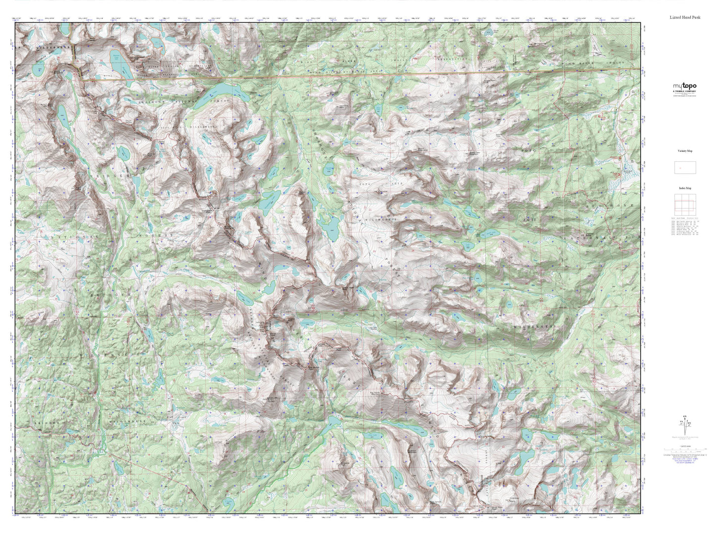
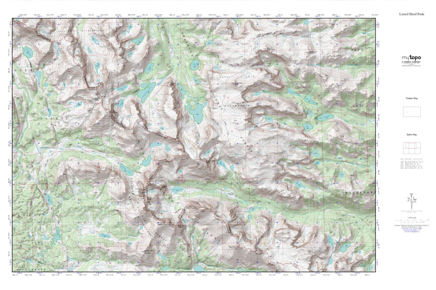
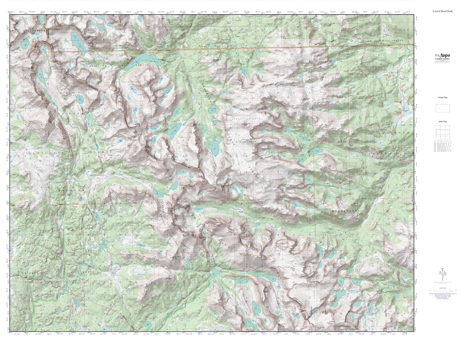
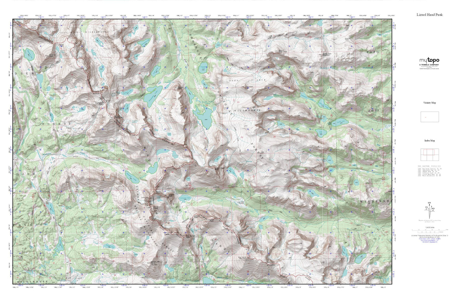
Lizard Head Peak MyTopo Explorer Series Map
Couldn't load pickup availability
Topographic map of Lizard Head Peak in the state of Wyoming. From the MyTopo Explorer Series.
This topo map features shaded relief and comes with UTM / MGRS and Latitude/Longitude grids.
For more than two decades, MyTopo has provided maps to the most adventurous among us.. those who love to explore our nation’s remote wilderness areas, climb our highest peaks, and trek across our vast public lands. This map is part of a curated collection of the most popular places for which MyTopo customers have designed maps. It is a “bucket list” of the most amazing places to hike, hunt, and explore.
This map contains the following named places: Arrowhead Lake,Bair Peak,Barren Lake,Bear Lake,Bears Ears Mountain,Bears Ears Trail,Bernard Peak,Big Sandy Mountain,Billys Lake,Block Tower,Bunion Mountain,Camels Hump,Cathedral Lake,Cathedral Peak,Cirque Lake,Cirque of the Towers,Cliff Lake,Cloverleaf Lake,Cook Lake,Dads Lake,Dike Mountain,Dog Tooth Peak,Donald Creek,Donald Lake,Elizabeth Lake,Elizabeth Peak,Hailey Pass Trail,High Meadow Lake,Jackass Pass,Little Dads Lake,Little Valentine Lake,Little Washakie Lake,Lizard Head Meadows,Lizard Head Peak,Lizard Head Trail,Loch Leven,Lonesome Lake,Macon Lake,Marms Lake,Mays Lake,Mendarrin Lake,Middle Lake,Mitchell Peak,Mount Chauvenet,North Lake,Overhanging Tower,Papoose Lake,Pass Lake,Payson Peak,Pingora Peak,Pylon Peak,Pyramid Lake,Pyramid Lake Trail,Pyramid Peak,Ranger Park,Shadow Lake,Shadow Lake Trail,Sharks Nose,Skull Lake,South Fork Lakes,Texas Lake,Texas Pass,Upper Cathedral Lake,Valentine Lake,War Bonnet Peak,Warrior Peaks,Washakie Creek,Washakie Glacier,Washakie Lake,Washakie Pass,Washakie Peak,Watch Tower,Wolfs Head


