MyTopo
Cheaha Mountain MyTopo Explorer Series Map
Couldn't load pickup availability
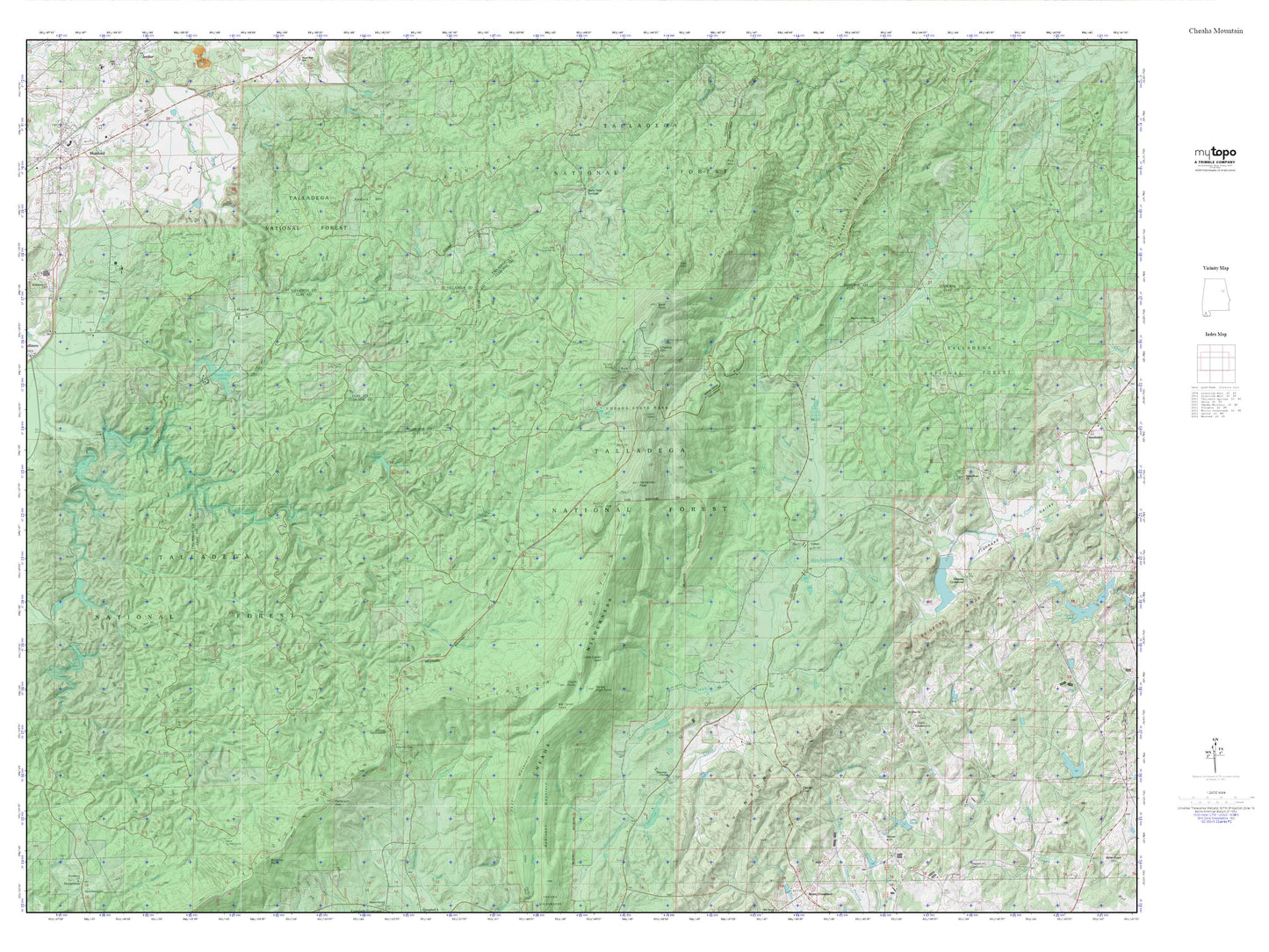
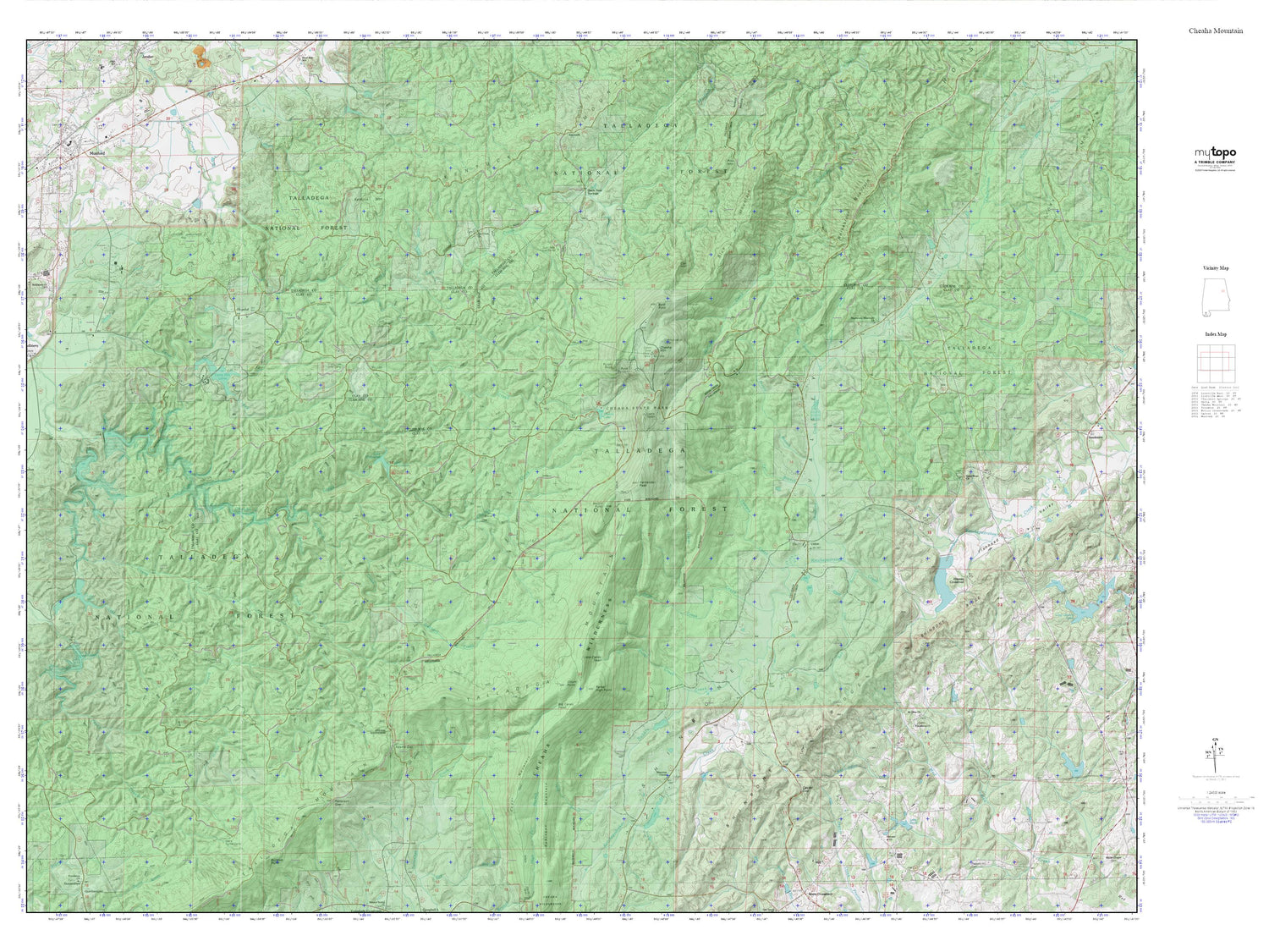
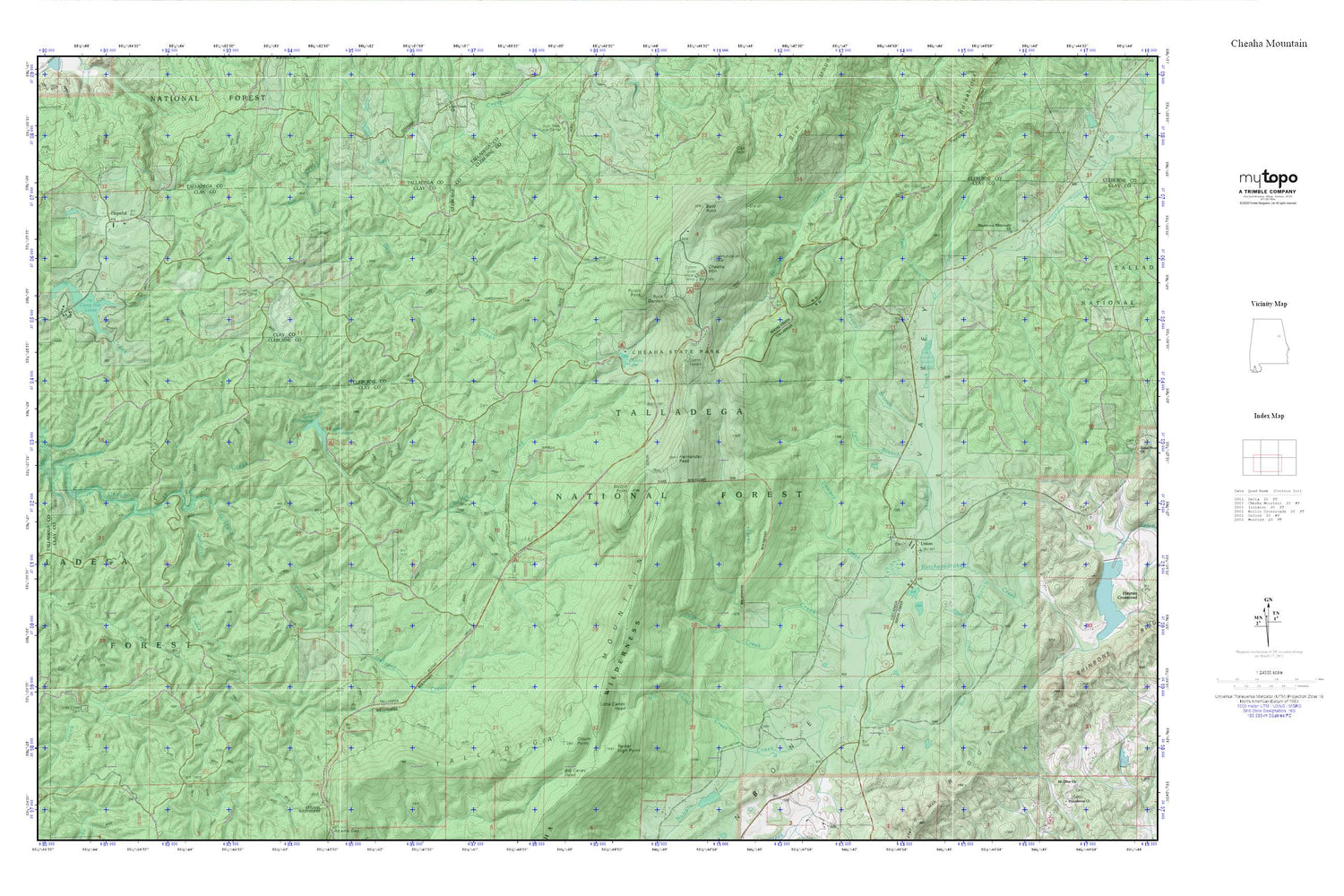
Topographic map of Cheaha Mountain in the state of Alabama. From the MyTopo Explorer Series.
This topo map features shaded relief and comes with UTM / MGRS and Latitude/Longitude grids.
For more than two decades, MyTopo has provided maps to the most adventurous among us.. those who love to explore our nation’s remote wilderness areas, climb our highest peaks, and trek across our vast public lands. This map is part of a curated collection of the most popular places for which MyTopo customers have designed maps. It is a “bucket list” of the most amazing places to hike, hunt, and explore.
This map contains the following named places: 36268,Alberts Branch,Antioch Church,Bald Rock,Barbaree Creek,Barber Memorial School for Negro Girls,Big Caney Head,Camp Mac,Camp Mac Lake Number 1,Camp Mac Lake Number 2,Camp Mac Lakes,Cave Creek,Cheaha Lake,Cheaha Mountain,Cheaha State Park,Cheaha Wilderness,Chinnabee Dam,Dempsey Mine,Dempsey Prospect,Dempsy Creek,Dowdy Chapel School,Dry Creek,Dunlin Mine,Ebenezer Cemetery,Ebenezer Church,Elder,Emory Gap,Fall Branch,Hernandez Peak,Hopeful,Horse Creek,Horse Creek Cemetery,Hubbard Creek,Lake Chinnabee,Lake Henry,Little Caney Head,Mac Lake Lower Lake Dam,Mac Lake Upper Lake Dam,Macedonia Missionary Church,McDill Point,Mill Shoal Creek,Millers Gin,Mount Zion Church,Newsome Branch,Nubbin Creek,Oak Hill,Odum Point,Odum Trail,Parker High Point,Parker Mine,Pretty Branch,Pulpit Rock,Red Hill Branch,Rock Garden,Salt Creek Falls,Shinbone Creek,Shinbone Gin,Shinbone Valley,Shinbone Valley Volunteer Fire Department,Smith Mine,Smiths Mill,Swan Branch,Talladega Mountain,Talladega National Forest,Union,Union Cemetery,Union Church,WCIQ-TV (Mount Cheaha),Yates Mine