MyTopo
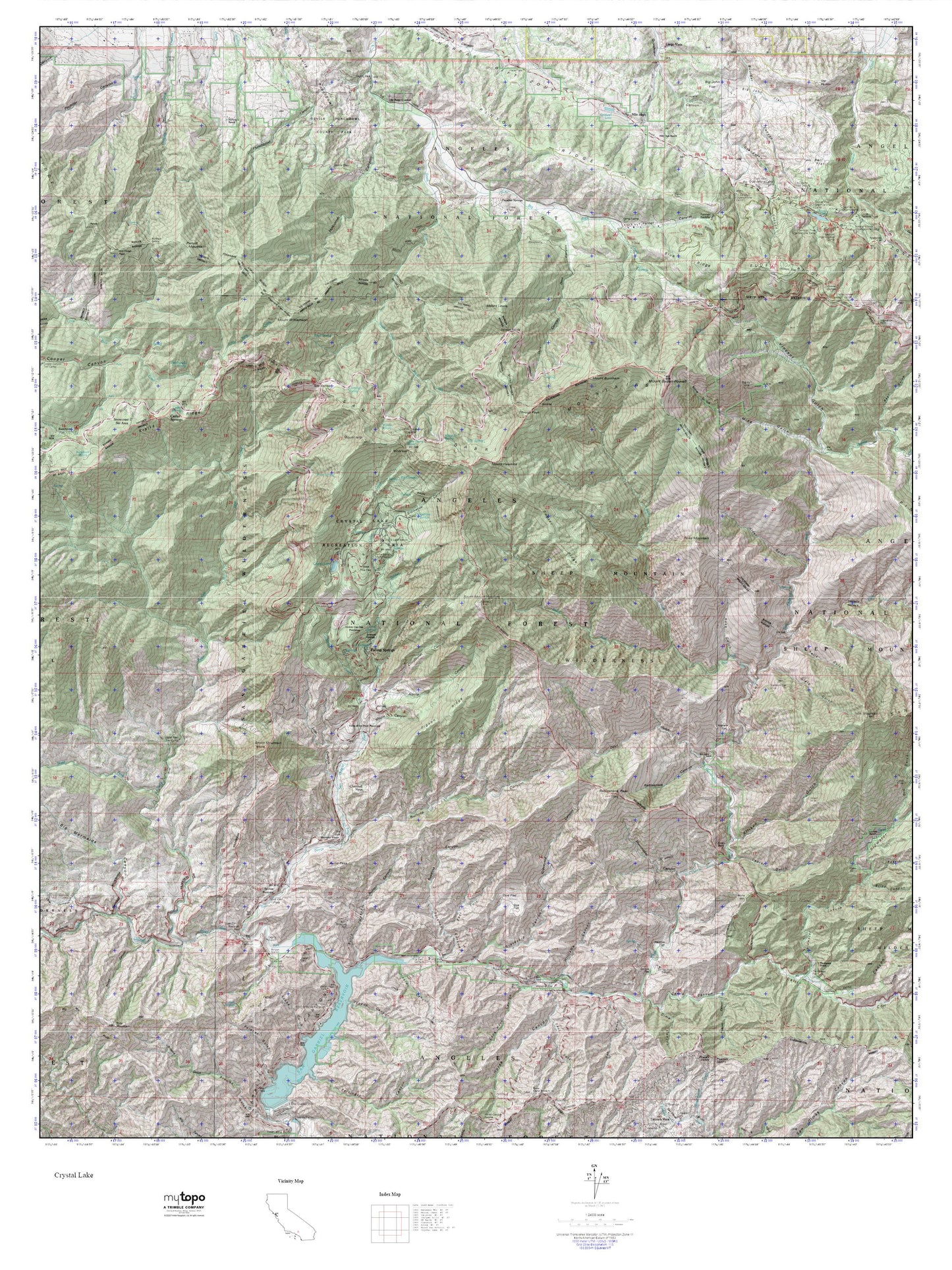
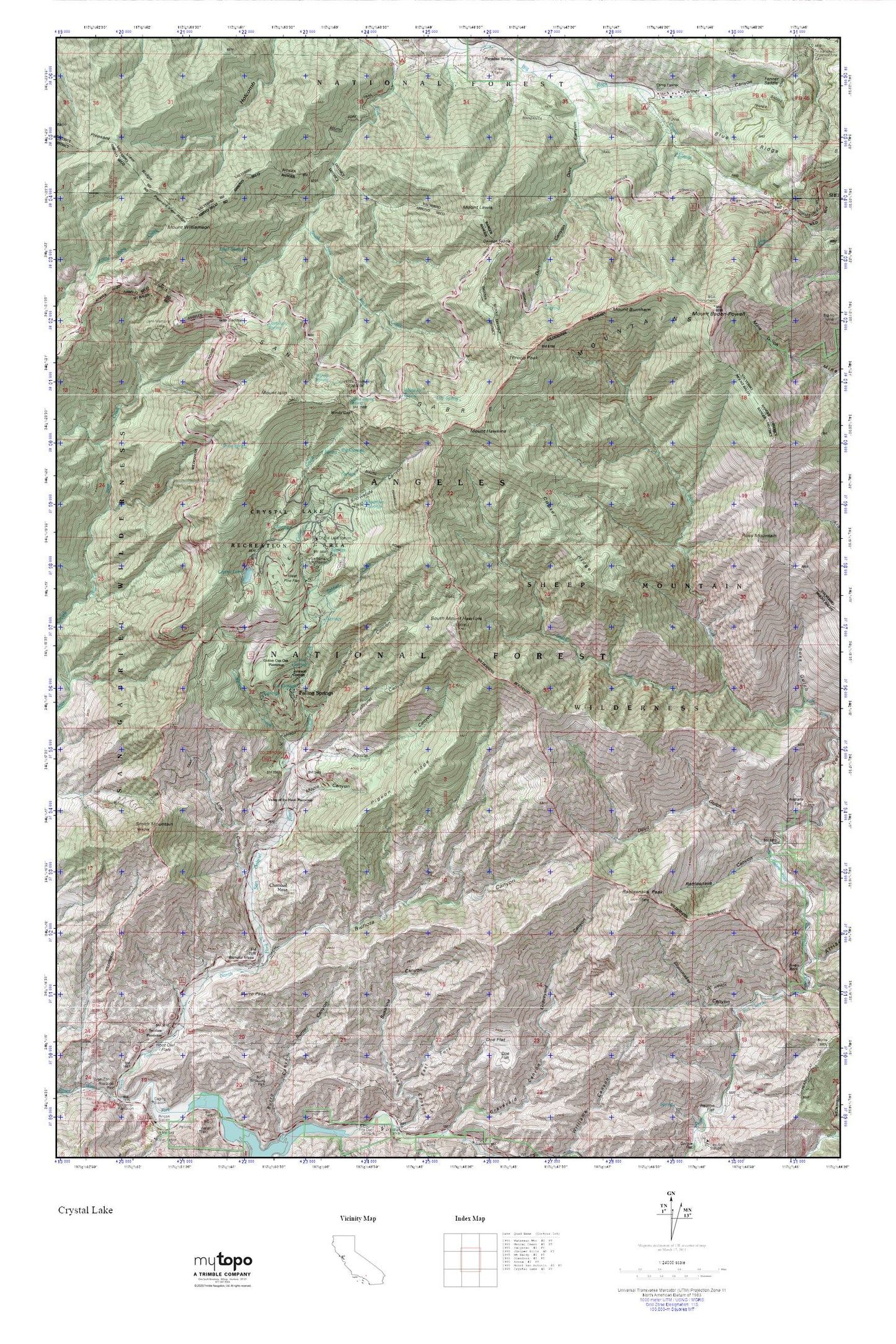
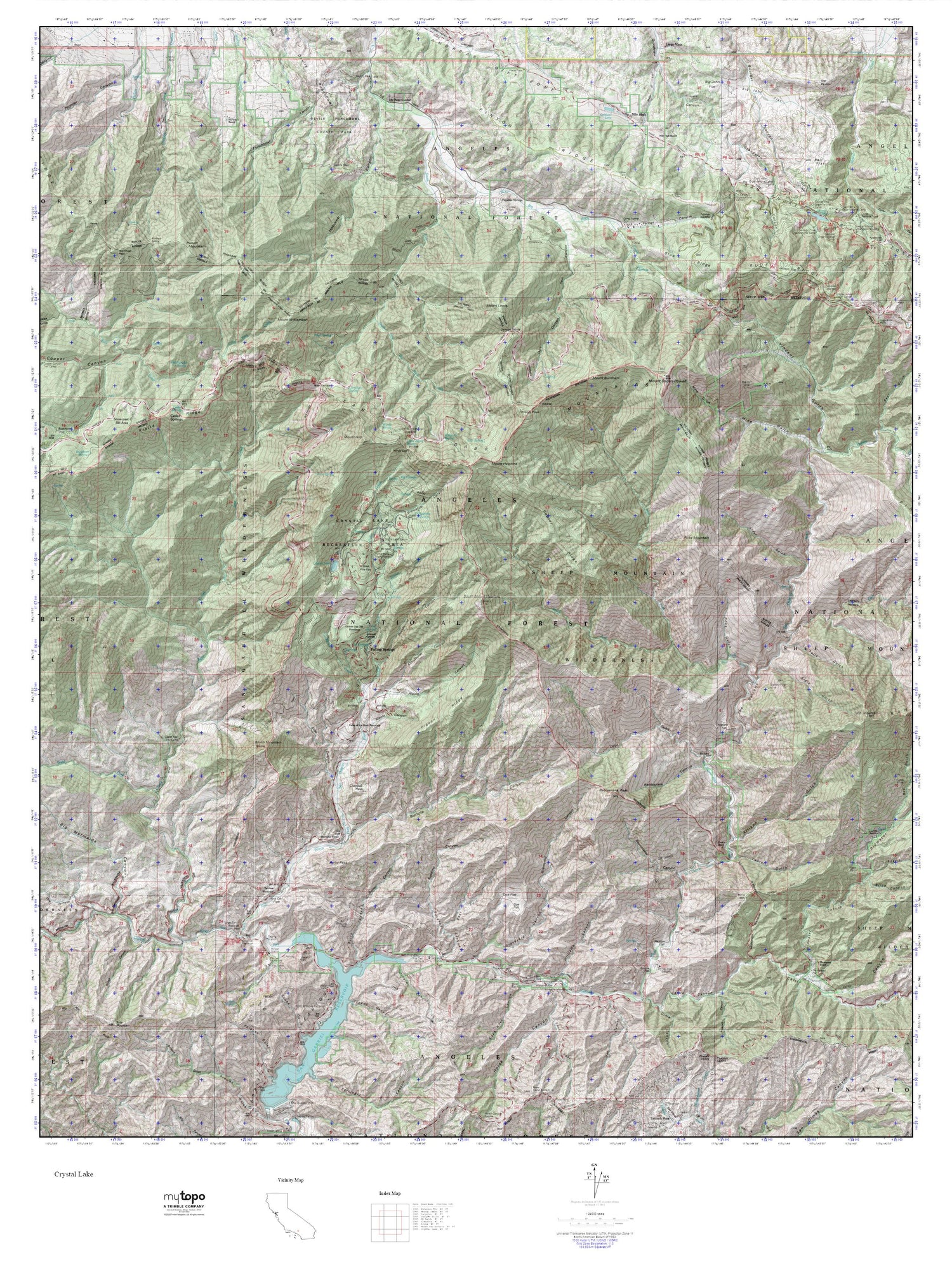
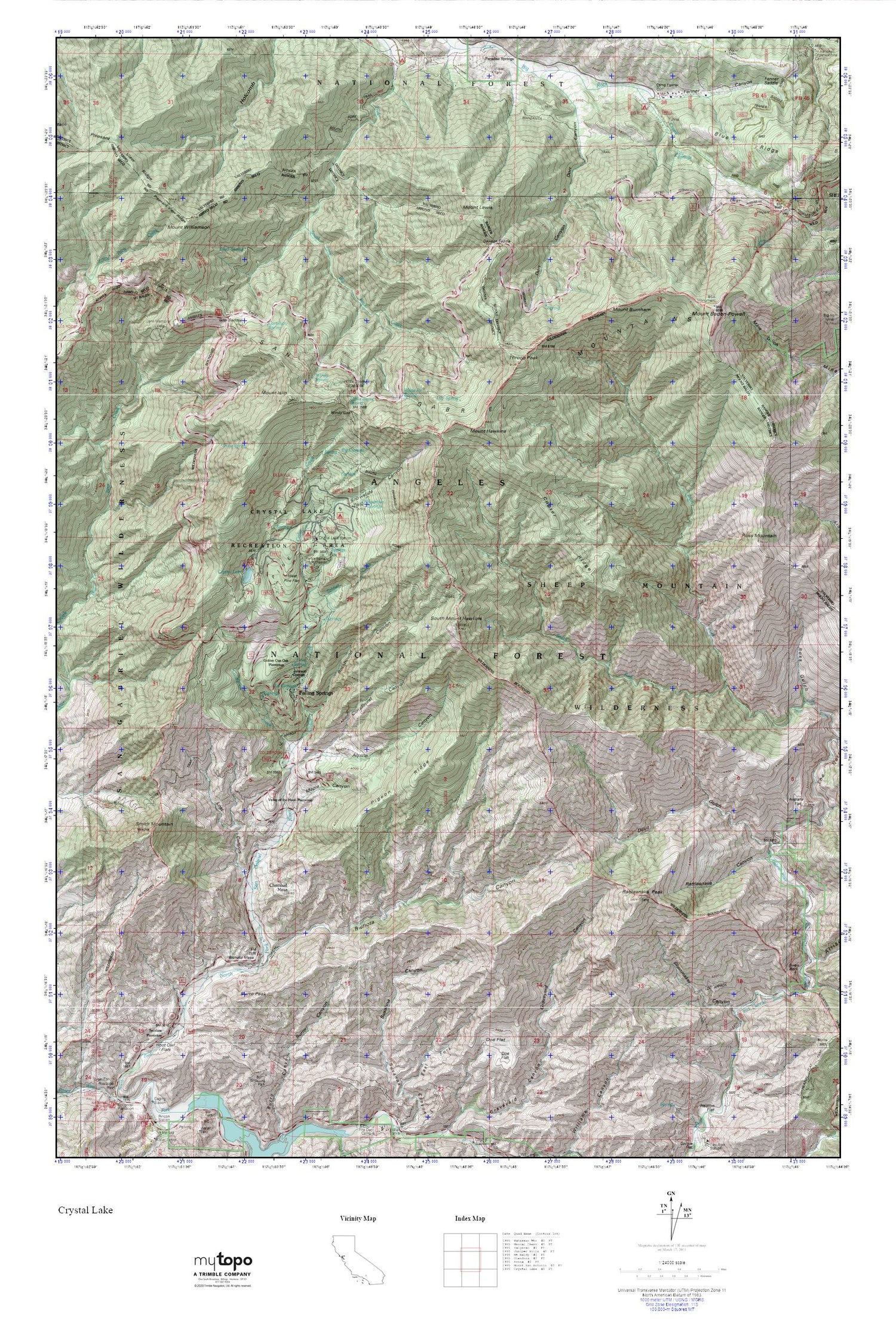
Crystal Lake MyTopo Explorer Series Map
Couldn't load pickup availability
Topographic map of Crystal Lake in the state of California. From the MyTopo Explorer Series.
This topo map features shaded relief and comes with UTM / MGRS and Latitude/Longitude grids.
For more than two decades, MyTopo has provided maps to the most adventurous among us.. those who love to explore our nation’s remote wilderness areas, climb our highest peaks, and trek across our vast public lands. This map is part of a curated collection of the most popular places for which MyTopo customers have designed maps. It is a “bucket list” of the most amazing places to hike, hunt, and explore.
This map contains the following named places: 91702,Alexander Spring,Alpine Canyon,Bear Creek Trail,Bichota Canyon,Bichota Mesa,Big Cienega,Big Rock Campground,BSA Monument,Burro Peak,Cedar Creek,Chamisal Mesa,Cloudburst Canyon,Coldbrook Campground,Coldbrook Creek,Coldbrook Guard Station,Copter Ridge,Cortelyou Spring,Crystal Lake,Crystal Lake Guard Station,Crystal Lake Recreation Area,Dawson Saddle,Dawson Saddle Trail,Deer Flat Campground,Devil Gulch,Falling Springs,Fenner Canyon,Golden Cup Oaks Plantation,Icy Springs,Islip Saddle,Islip Trailhead,Jarva Memorial Vista,Johnson Corner,La Cienega Spring,Lamel Spring,Lily Spring,Little Jimmy Campground,Little Jimmy Spring,Lodgepole Picnic Area,Los Angeles County Camp Farmer,Lost Canyon,Maple Canyon,Mount Baden-Powell,Mount Burnham,Mount Hawkins,Mount Islip,Mount Lewis,Mount Williamson,Pigeon Ridge,Pigeon Target Shooting Area,Pine Flats,Pine Hollow Picnic Area,Pinyon Trail,Pleasant View Ridge,Rattlesnake Canyon,Rattlesnake Peak,Reed Spring,Rockbound Canyon,Ross Mountain,Shoemaker Canyon,Smith Mountain,Snow Spring,Snowslide Canyon,Soldier Creek,South Fork Iron Fork,South Mount Hawkins,South Mount Hawkins Lookout,Swan Rock,Tecolate Plantation,Throop Peak,Valley of the Moon Plantation,Vincent Gap,Wawona Lodge,West Pine Flat,White Fir Spring,Windy Gap,Windy Spring,Yerba Santa Amphitheater


