MyTopo
Lodgepole MyTopo Explorer Series Map
Couldn't load pickup availability
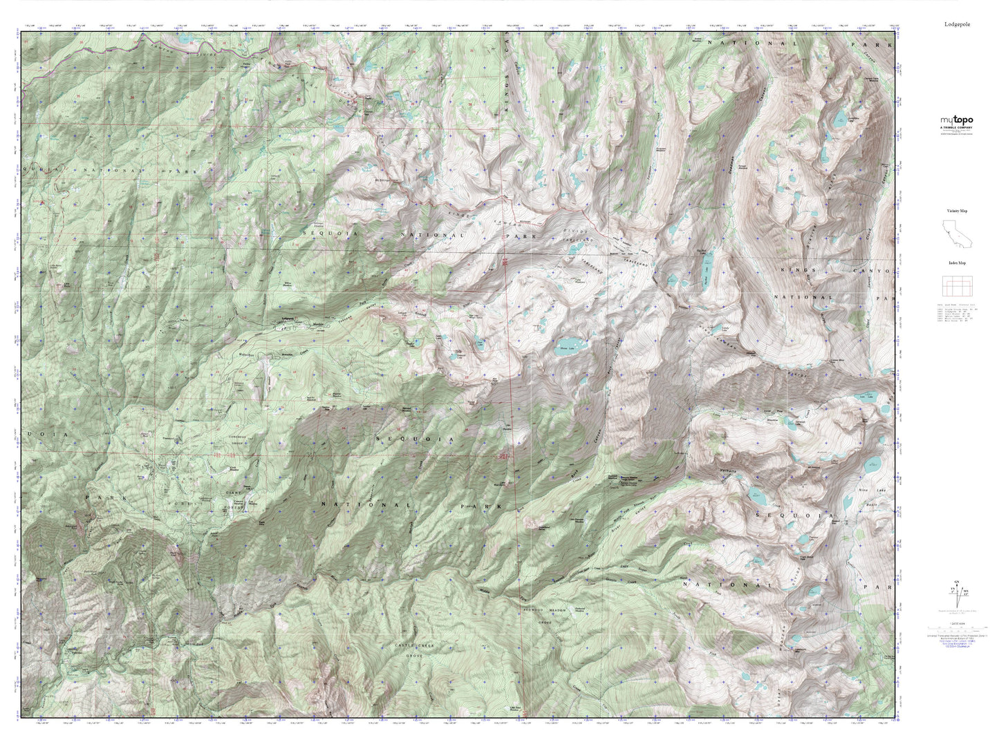
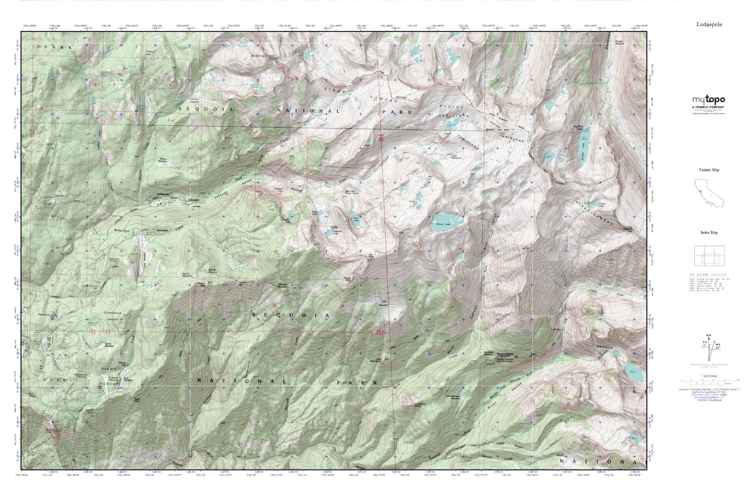
Topographic map of Lodgepole in the state of California. From the MyTopo Explorer Series.
This topo map features shaded relief and comes with UTM / MGRS and Latitude/Longitude grids.
For more than two decades, MyTopo has provided maps to the most adventurous among us.. those who love to explore our nation’s remote wilderness areas, climb our highest peaks, and trek across our vast public lands. This map is part of a curated collection of the most popular places for which MyTopo customers have designed maps. It is a “bucket list” of the most amazing places to hike, hunt, and explore.
This map contains the following named places: 93262,Alta Meadow,Alta Peak,Aster Lake,Bear Hill,Bearpaw Meadow,Bearpaw Meadow High Sierra Camp,Bearpaw Meadow Ranger Station,Beetle Rock,Bobcat Point,Circle Meadow,Clover Creek,Congress Group,Crescent Meadow,Deer Ridge,Eagle View,Emerald Lake,General Sherman Tree,Giant Forest,Granite Spring,Hamilton Creek,Heather Lake,High Sierra Trail,Horse Creek,Huckleberry Meadow,Kaweah Camp,Little Bearpaw Meadow,Little Blue Dome,Lodgepole,Lodgepole Ranger Station,Lodgepole Visitor Center,Log Bridge Campground,Log Meadow,Lone Pine Creek,Long Meadow,Mehrten Meadow,Moose Lake,Moro Rock,Panoramic View,Panther Gap,Panther Meadow,Panther Peak,Pear Lake,Pearl Lake Ranger Station,Pinewood,Red Fir,Red Fir Meadow,Round Meadow,Sequoia National Park Post Office,Sevenmile Hill,Sherman Creek,Silliman Creek,Silliman Lake,Silliman Meadow,Sugarbowl Dome,Sunset Rock,Suwanee Creek,Table Meadows,Tableland,Tharps Log,Tharps Rock,Tokopah Falls,Tokopah Valley,Tunnel Log,Valhalla,Wall Spring,Willow Meadow,Wolverton,Wolverton Corrals,Wolverton Creek