MyTopo
Ten Lakes MyTopo Explorer Series Map
Couldn't load pickup availability
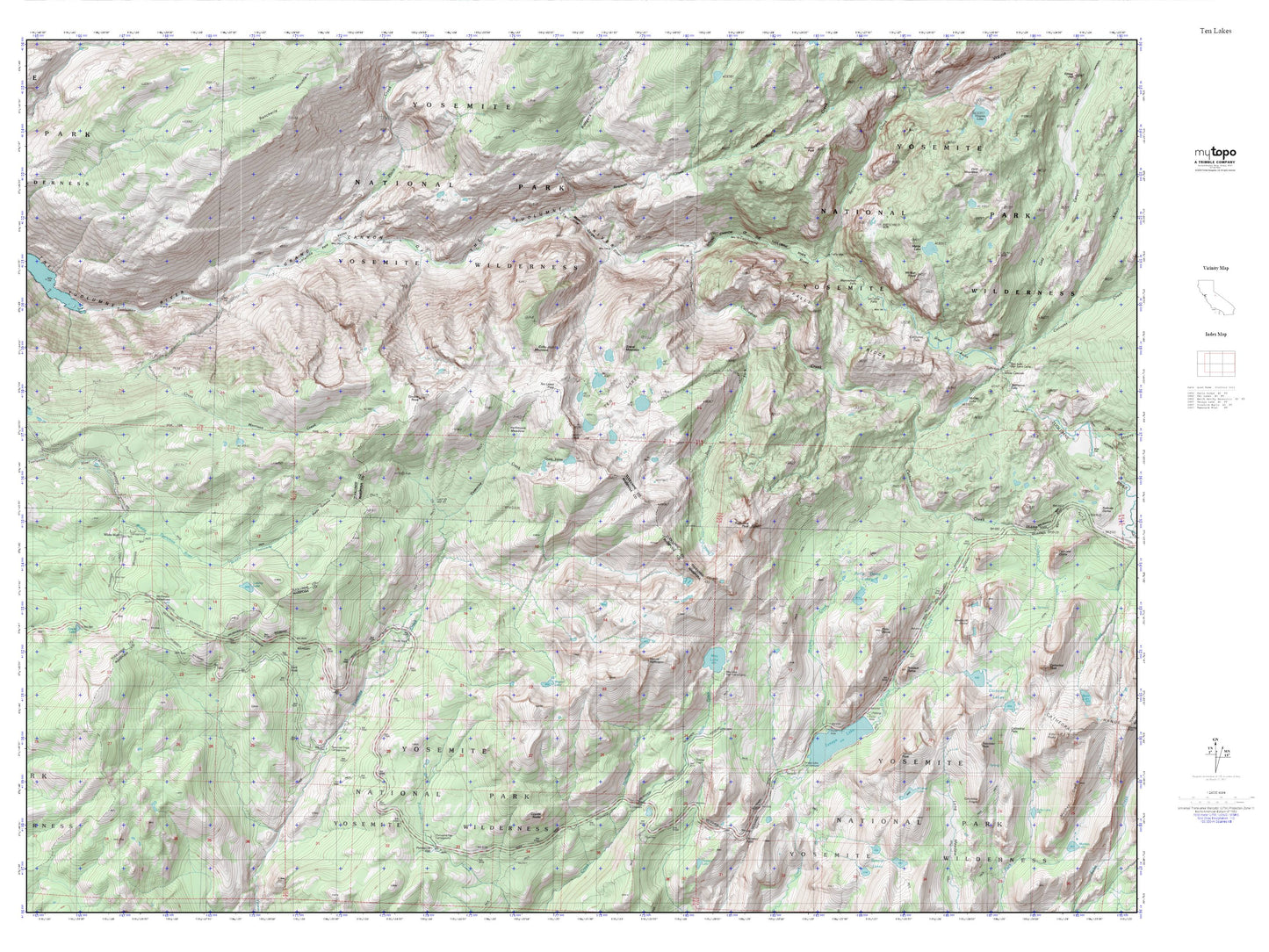
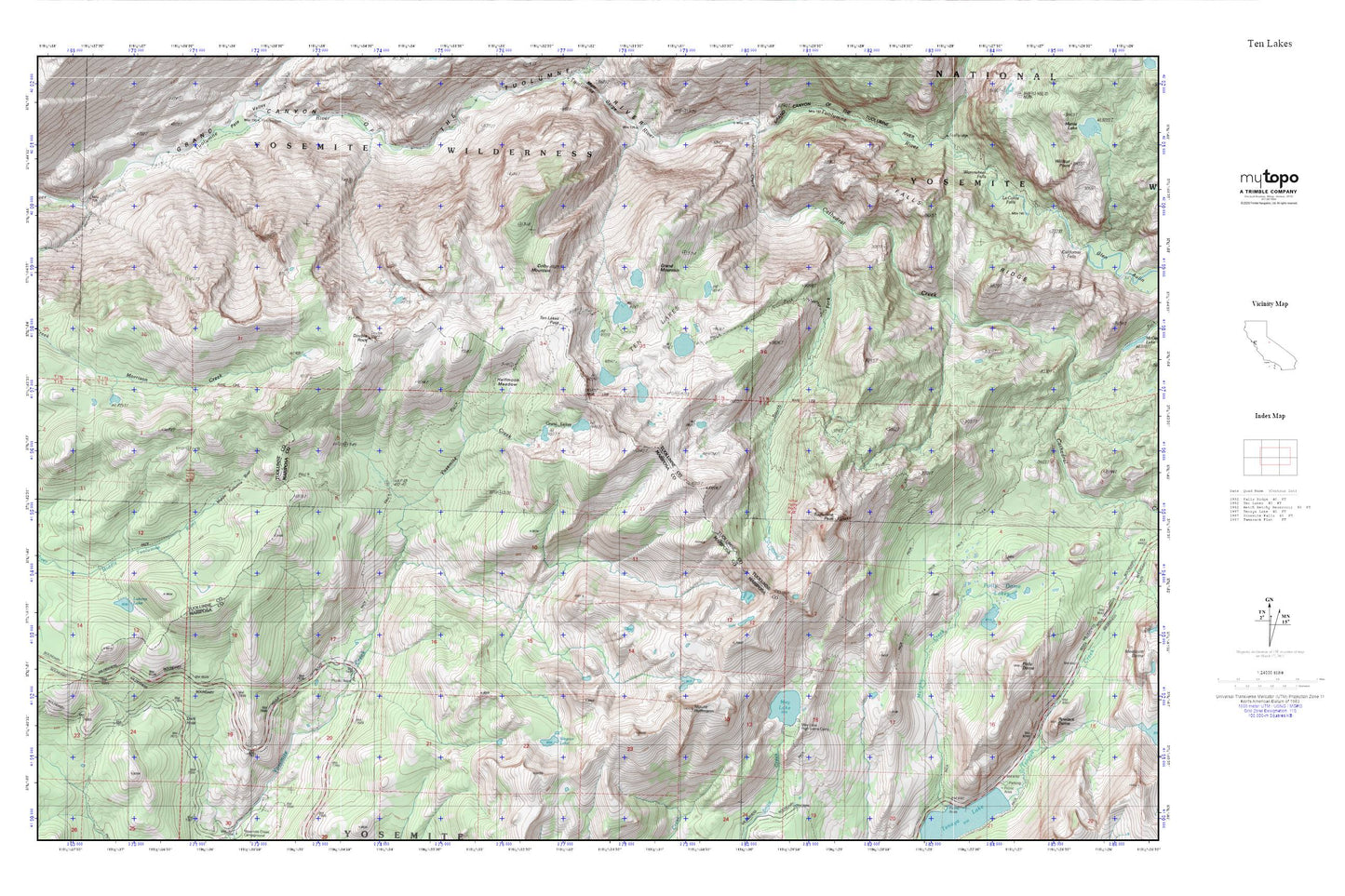
Topographic map of Ten Lakes in the state of California. From the MyTopo Explorer Series.
This topo map features shaded relief and comes with UTM / MGRS and Latitude/Longitude grids.
For more than two decades, MyTopo has provided maps to the most adventurous among us.. those who love to explore our nation’s remote wilderness areas, climb our highest peaks, and trek across our vast public lands. This map is part of a curated collection of the most popular places for which MyTopo customers have designed maps. It is a “bucket list” of the most amazing places to hike, hunt, and explore.
This map contains the following named places: Colby Mountain,Dark Hole,Double Rock,Grand Mountain,Grant Lakes,Halfmoon Meadow,Le Conte Falls,Lukens Lake,May Lake,May Lake High Sierra Camp,Morrison Creek,Mount Hoffmann,South Fork Cathedral Creek,Ten Lakes,Ten Lakes Pass,Ten Lakes Trail,Tuolumne Peak,Waterwheel Falls,Wegner Lake,Yosemite National Park,Yosemite Wilderness