
MyTopo
Pecos Wilderness MyTopo Explorer Series Map
Couldn't load pickup availability
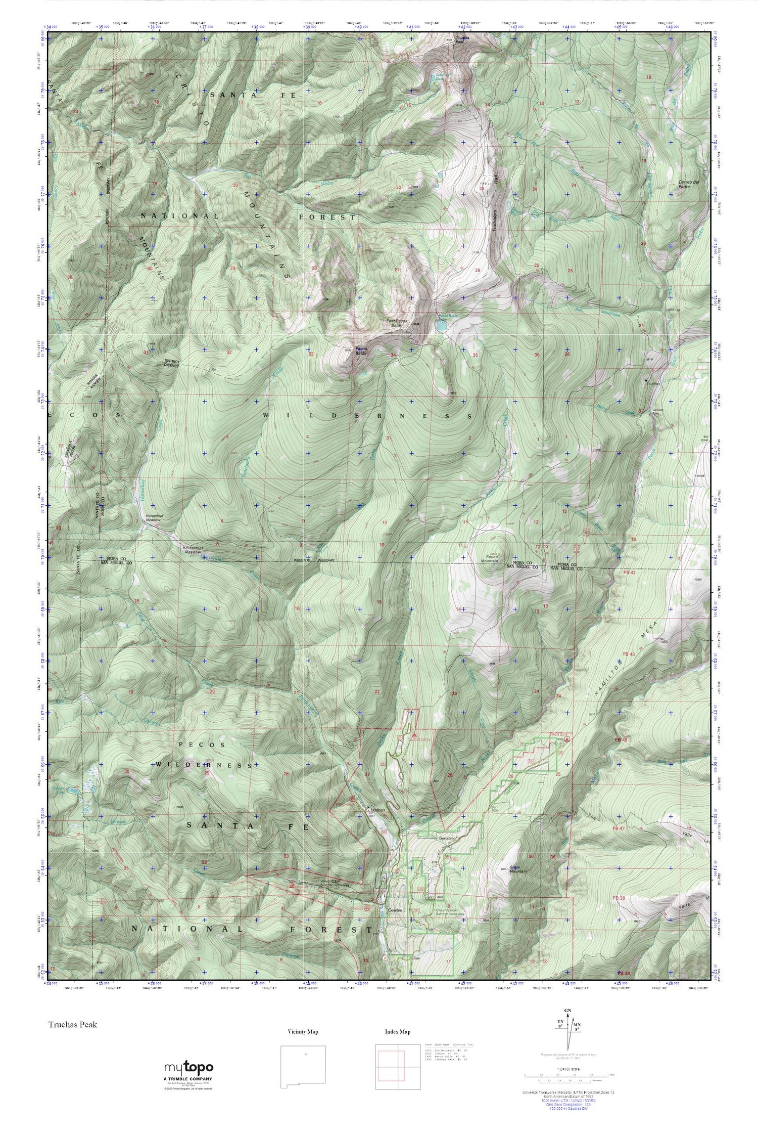
Topographic map of Pecos Wilderness in the state of New Mexico. From the MyTopo Explorer Series.
This topo map features shaded relief and comes with UTM / MGRS and Latitude/Longitude grids.
For more than two decades, MyTopo has provided maps to the most adventurous among us.. those who love to explore our nation’s remote wilderness areas, climb our highest peaks, and trek across our vast public lands. This map is part of a curated collection of the most popular places for which MyTopo customers have designed maps. It is a “bucket list” of the most amazing places to hike, hunt, and explore.
This map contains the following named places: Albright Creek,Beatty Cabin,Beatty Creek,Brazos Cabin,Cave Creek,Cerrito del Padre,East Pecos Baldy,Geronimo,Grass Mountain,Horsethief Creek,Horsethief Meadow,Iron Gate Recreation Site,Jacks Creek,Jacks Creek Campground,Jose Vigil Lake,Kennedy Point,Noisy Brook,Panchuela Campground,Panchuela Creek,Panchuela Ranger Station,Pecos Baldy,Pecos Baldy Lake,Pecos Wild and Scenic River,Pecos Wilderness,Rio Medio Trail,Rito Azul,Rito de los Chimayosos,Rito Las Trampas,Rito Oscuro,Rito Perro,Rito Sebadilloses,Round Mountain,South Fork Rito Azul,Trailriders Wall,Winsor Creek Recreation Site


