MyTopo
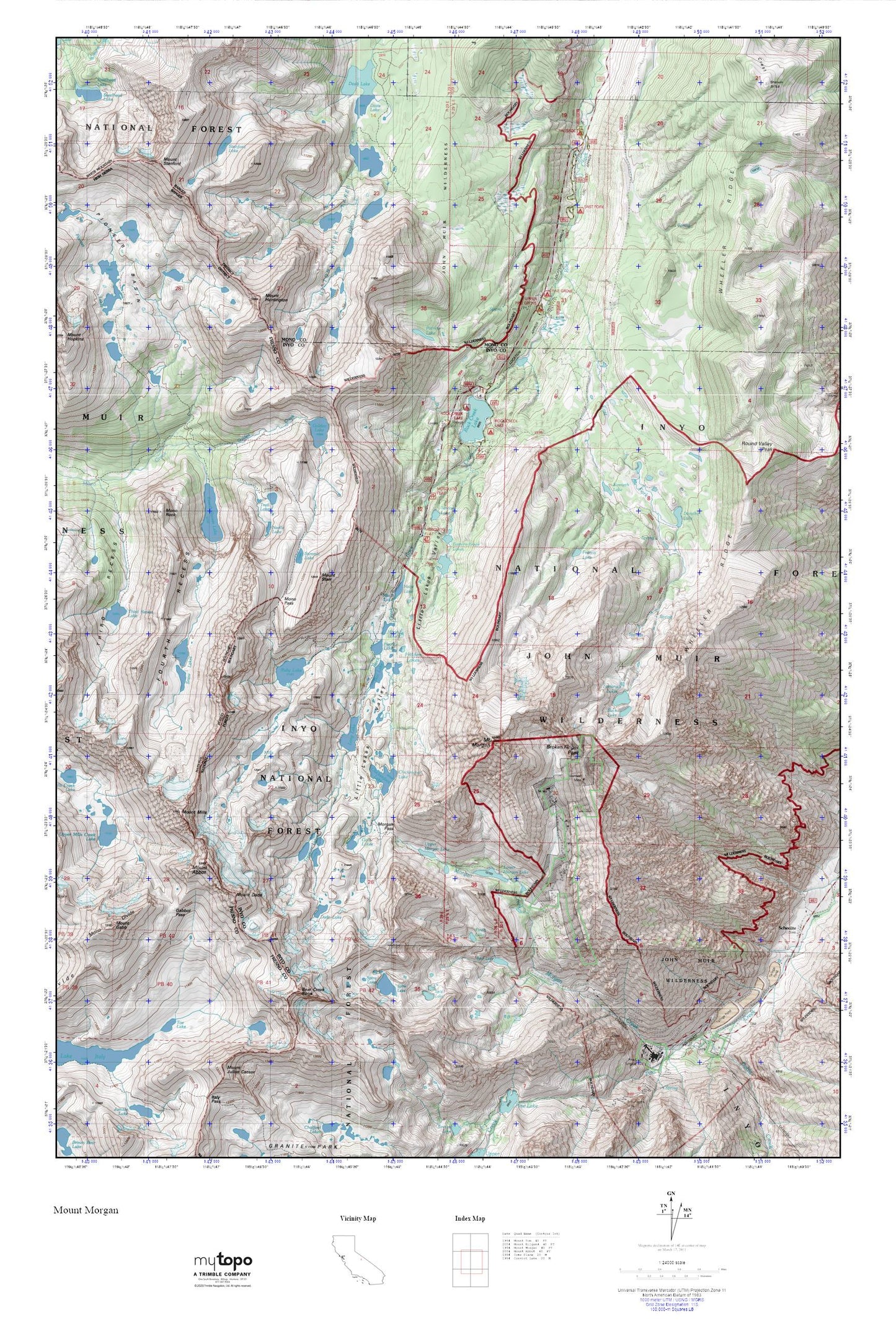
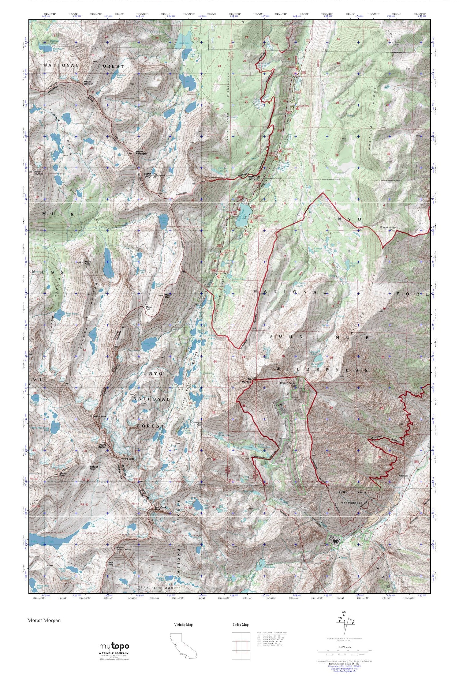
Mount Morgan MyTopo Explorer Series Map
Couldn't load pickup availability
Topographic map of Mount Morgan in the state of California. From the MyTopo Explorer Series.
This topo map features shaded relief and comes with UTM / MGRS and Latitude/Longitude grids.
For more than two decades, MyTopo has provided maps to the most adventurous among us.. those who love to explore our nation’s remote wilderness areas, climb our highest peaks, and trek across our vast public lands. This map is part of a curated collection of the most popular places for which MyTopo customers have designed maps. It is a “bucket list” of the most amazing places to hike, hunt, and explore.
This map contains the following named places: Adamson Mine,Bear Creek Spire,Bear Lake,Box Lake,Broken Finger Peak,Buck Lake,Chickenfoot Lake,Dade Lake,Davis Lake,Dorothy Lake,East Fork Campground,East Fork Rock Creek,Eastern Brook Lakes,Finch Lake,Fourth Recess,Fourth Recess Lake,Francis Lake,Gabbot Pass,Gable Creek,Gable Lakes Trailhead,Gem Lakes,Golden Creek,Golden Lake,Heart Lake,Hidden Lakes,Hilton Creek Lakes,Kenneth Lake,Lake Inlet Campground,Lake Outlet Campground,Little Lakes,Little Lakes Valley,Long Lake,Lower Morgan Lake,Mack Lake,Marsh Lake,Mills Lake,Mono Divide,Mono Pass,Mono Pass Trailhead,Mono Rock,Morgan Creek,Morgan Pass,Mosquito Flat,Mosquito Flat Campground,Mount Abbot,Mount Dade,Mount Gabb,Mount Huntington,Mount Mills,Mount Morgan,Mount Stanford,Mount Starr,Neelle Lake,Palisade Campground,Patricia Lake,Pine Creek Mine,Pine Creek Mine-Zero Adit,Pine Creek Pack Station,Pine Creek Trailhead,Pine Grove Campground,Pioneer Basin,Pioneer Basin Lakes,Rock Creek Boating Site,Rock Creek Lake,Rock Creek Lake Campground,Rock Creek Lake Picnic Site,Rock Creek Lake Resort,Rock Creek Pack Station,Rock Creek Picnic Site,Round Valley Peak,Ruby Lake,Serene Lake,Snow Lakes,Spire Lake,Split Lake,Stanford Lake,Summit Lake,Tamarack Lakes,Tamarack Lakes Trailhead,Third Recess Lake,Toe Lake,Trail Lakes,Treasure Lakes,Upper Mills Creek Lake,Upper Morgan Lake,Wheeler Ridge


