MyTopo
SUDDEN DARKNESS MyTopo Explorer Series Map
Couldn't load pickup availability
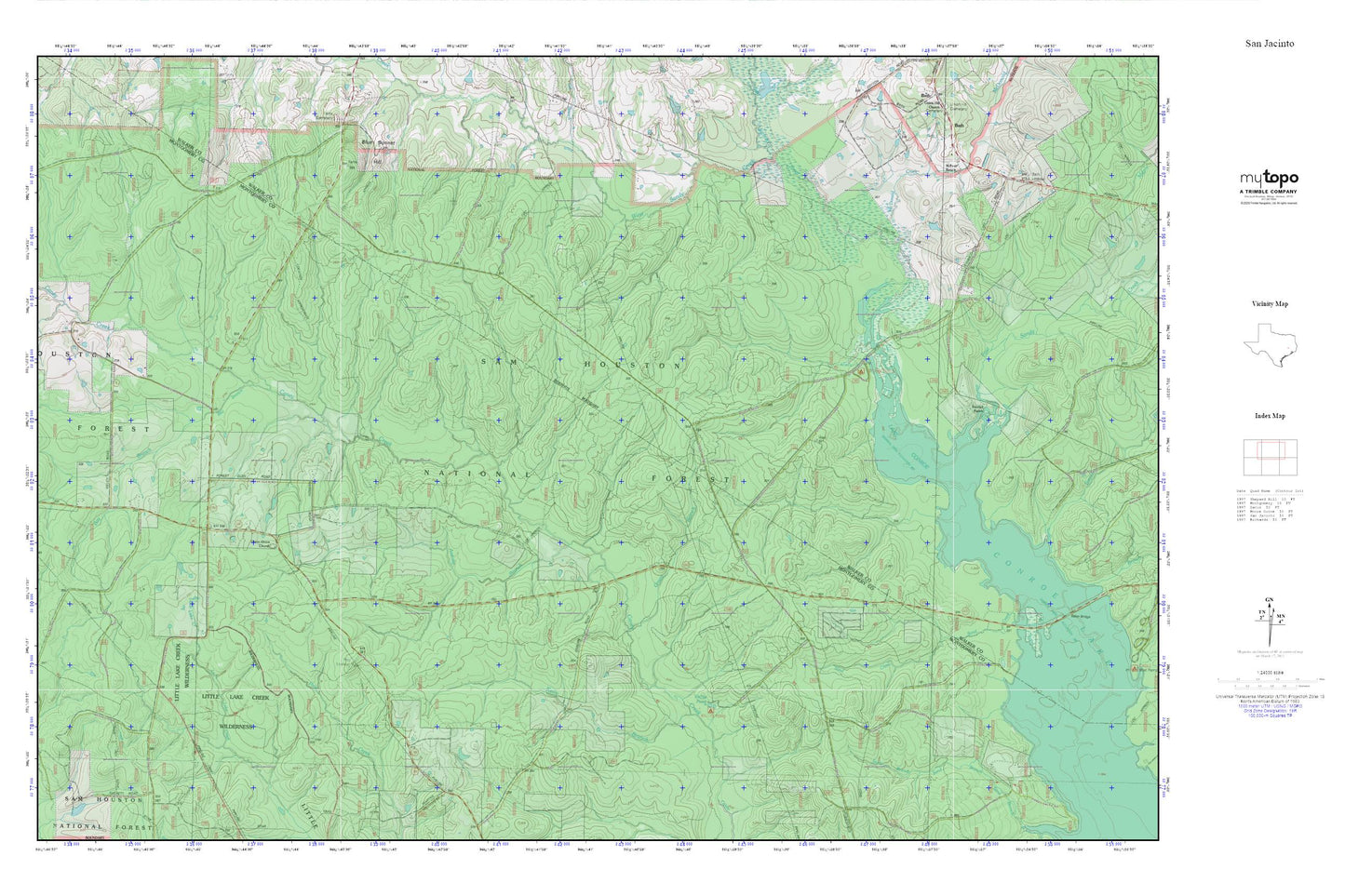
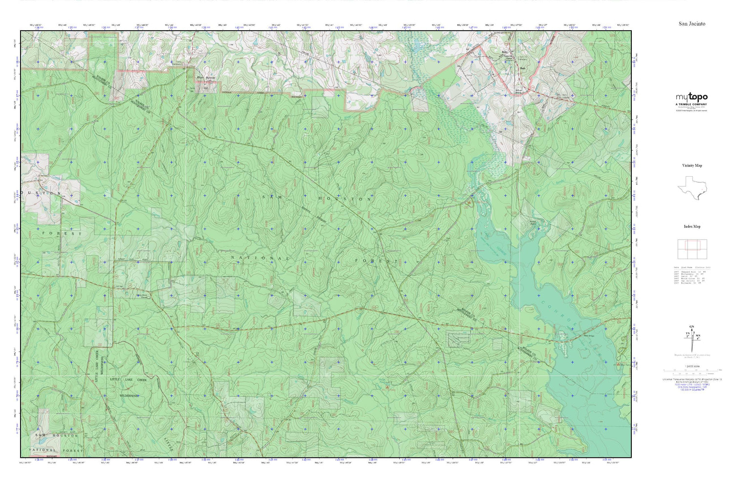
Topographic map of SUDDEN DARKNESS in the state of Texas. From the MyTopo Explorer Series.
This topo map features shaded relief and comes with UTM / MGRS and Latitude/Longitude grids.
For more than two decades, MyTopo has provided maps to the most adventurous among us.. those who love to explore our nation’s remote wilderness areas, climb our highest peaks, and trek across our vast public lands. This map is part of a curated collection of the most popular places for which MyTopo customers have designed maps. It is a “bucket list” of the most amazing places to hike, hunt, and explore.
This map contains the following named places: Antony Branch,Bath Lookout,Bay Branch,Blue Bonnet Hill,East Sandy Creek,Green Branch,Kelly Branch,Kellys Pond Recreation Site,McDonald Creek,M-Four Ranch,Pool Lookout,Randall Ranch,Red Loop I,Sand Creek,Smith Branch,Stubblefield Lake Trail,Stubblefield Recreation Site,Union Grove Cemetery,Union Grove Church,West Sandy Creek