MyTopo
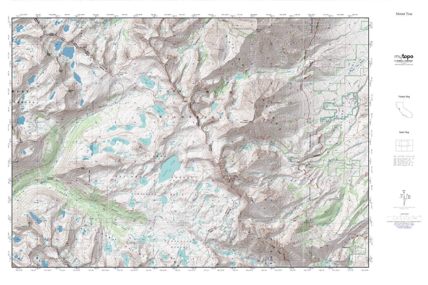
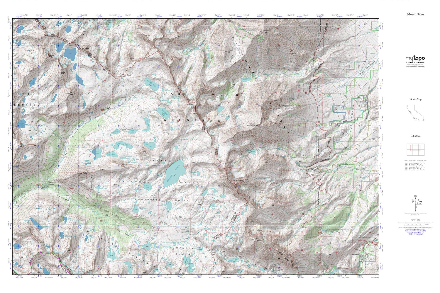
Mount Tom MyTopo Explorer Series Map
Couldn't load pickup availability
Topographic map of Mount Tom in the state of California. From the MyTopo Explorer Series.
This topo map features shaded relief and comes with UTM / MGRS and Latitude/Longitude grids.
For more than two decades, MyTopo has provided maps to the most adventurous among us.. those who love to explore our nation’s remote wilderness areas, climb our highest peaks, and trek across our vast public lands. This map is part of a curated collection of the most popular places for which MyTopo customers have designed maps. It is a “bucket list” of the most amazing places to hike, hunt, and explore.
This map contains the following named places: Alsace Lake,Basin Mountain,Blanc Lake,Carol Col,Chevaux Lake,Cony Lake,Den Lake,Desolation Lake,East Pinnacles Creek,Elba Lake,Feather Peak,Forsaken Lake,Four Gables,French Canyon,French Lake,Gruff Lake,Hanging Valley Mine,Horton Lake,Horton Lakes Trailhead,Humphreys Basin,Humphreys Lakes,Hutchinson Meadow,Knob Lake,La Tete Lake,Little French Lake,Little Lake,Lobe Lakes,Longley 104-031 Dam,Longley Lake,Lorraine Lake,Lower Desolation Lake,Lower Golden Trout Lake,Lower Honeymoon Lake,Lower Petite Lake,Marmot Lake,Merriam Lake,Merriam Peak,Mesa Lake,Moon Lake,Mount Emerson,Mount Humphreys,Mountain Basin Prospect,Paris Lake,Pilot Knob,Pine Creek Pass,Piute Crags,Piute Pass,Puppet Lake,Ramona Lake,Roget Lake,Royce Lakes,Royce Peak,Rust Lake,Sky Point,Square Lake,Star Lake,Steelhead Lake,Summit Lake,Sunny Boy Prospect,Tomahawk Lake,Tooth Lake,Upper Golden Trout Lake,Upper Honeymoon Lake,Upper Horton Lakes,Upper Petite Lake,Wedge Lake


