MyTopo
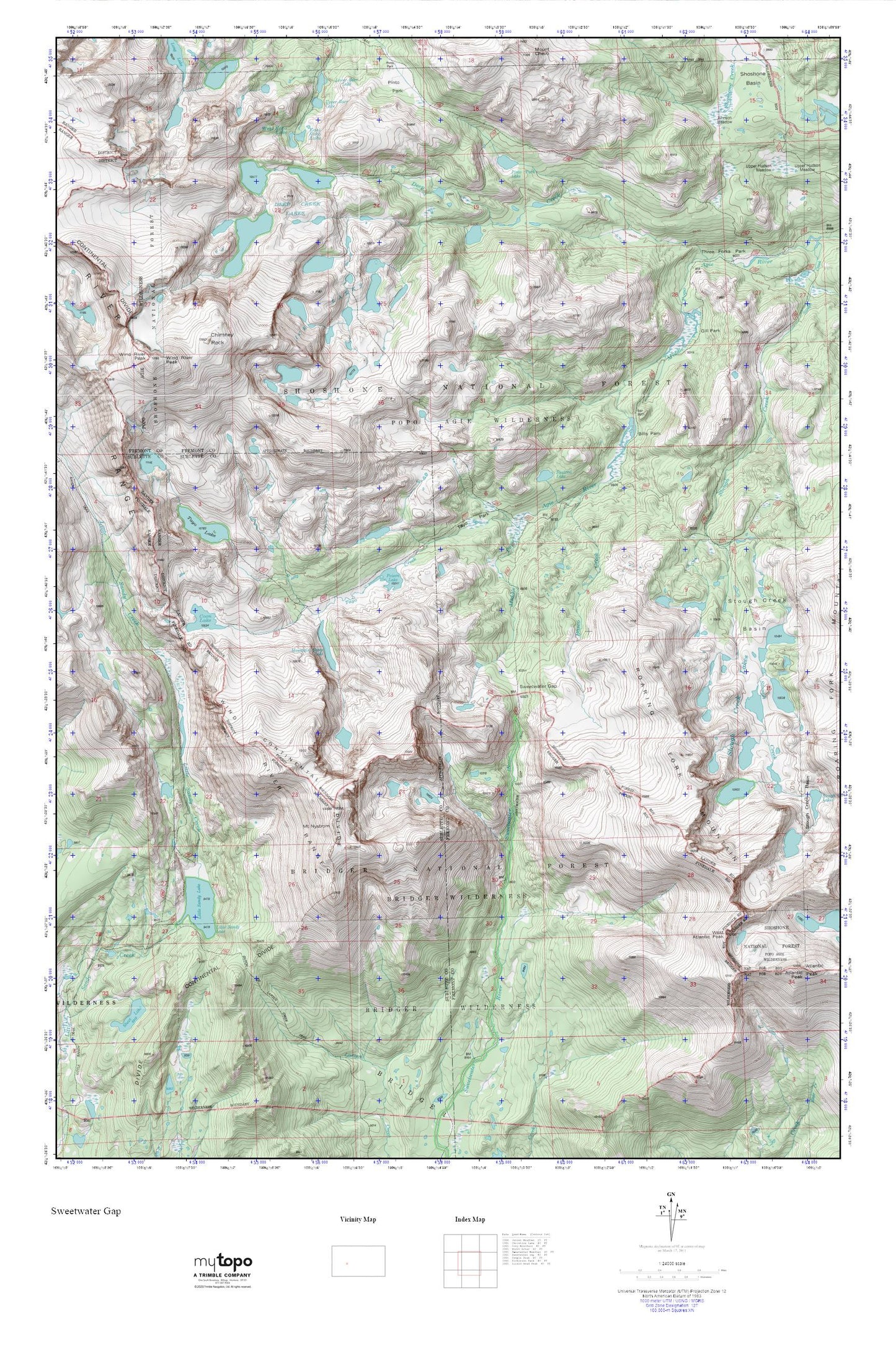
Sweetwater Gap MyTopo Explorer Series Map
Couldn't load pickup availability
Topographic map of Sweetwater Gap in the state of Wyoming. From the MyTopo Explorer Series.
This topo map features shaded relief and comes with UTM / MGRS and Latitude/Longitude grids.
For more than two decades, MyTopo has provided maps to the most adventurous among us.. those who love to explore our nation’s remote wilderness areas, climb our highest peaks, and trek across our vast public lands. This map is part of a curated collection of the most popular places for which MyTopo customers have designed maps. It is a “bucket list” of the most amazing places to hike, hunt, and explore.
This map contains the following named places: Baer Lakes,Basco Creek,Bills Park,Boot Lake,Chimney Rock,Coon Lake,Deep Creek,Deep Creek Lakes,East Echo Lake,Echo Lakes,Elkhorn Dam,Elkhorn Reservoir,Gill Park,Ice Lakes,Johnson Meadow,Jug Lake,Little Sandy Creek,Little Sandy Lake,Little Sandy Trail,Lower Baer Lake,Mount Nystrom,Mountain Sheep Lake,Pinto Park,Pinto Park Lake,Pinto Park Trail,Poison Lake,Popo Agie Wilderness,Roaring Fork Mountain,Shoshone Basin,Squirrel Lake,Stough Creek Basin,Stough Creek Basin Trail,Sweetwater Gap,Tayo Creek,Tayo Lake,Tayo Park,Three Forks Park,Upper Baer Lake,West Atlantic Peak,West Echo Lake,Wind River Peak


