MyTopo
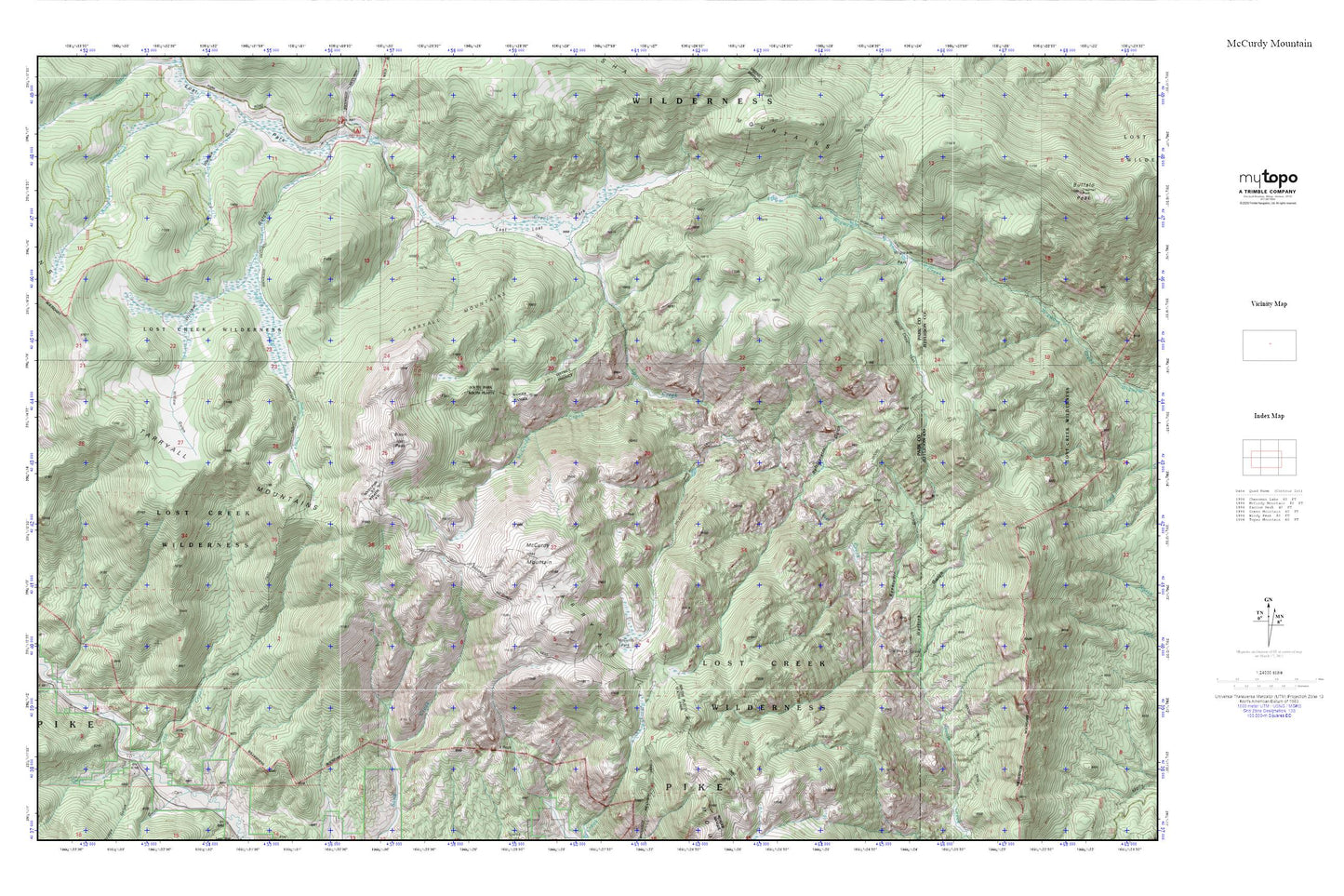
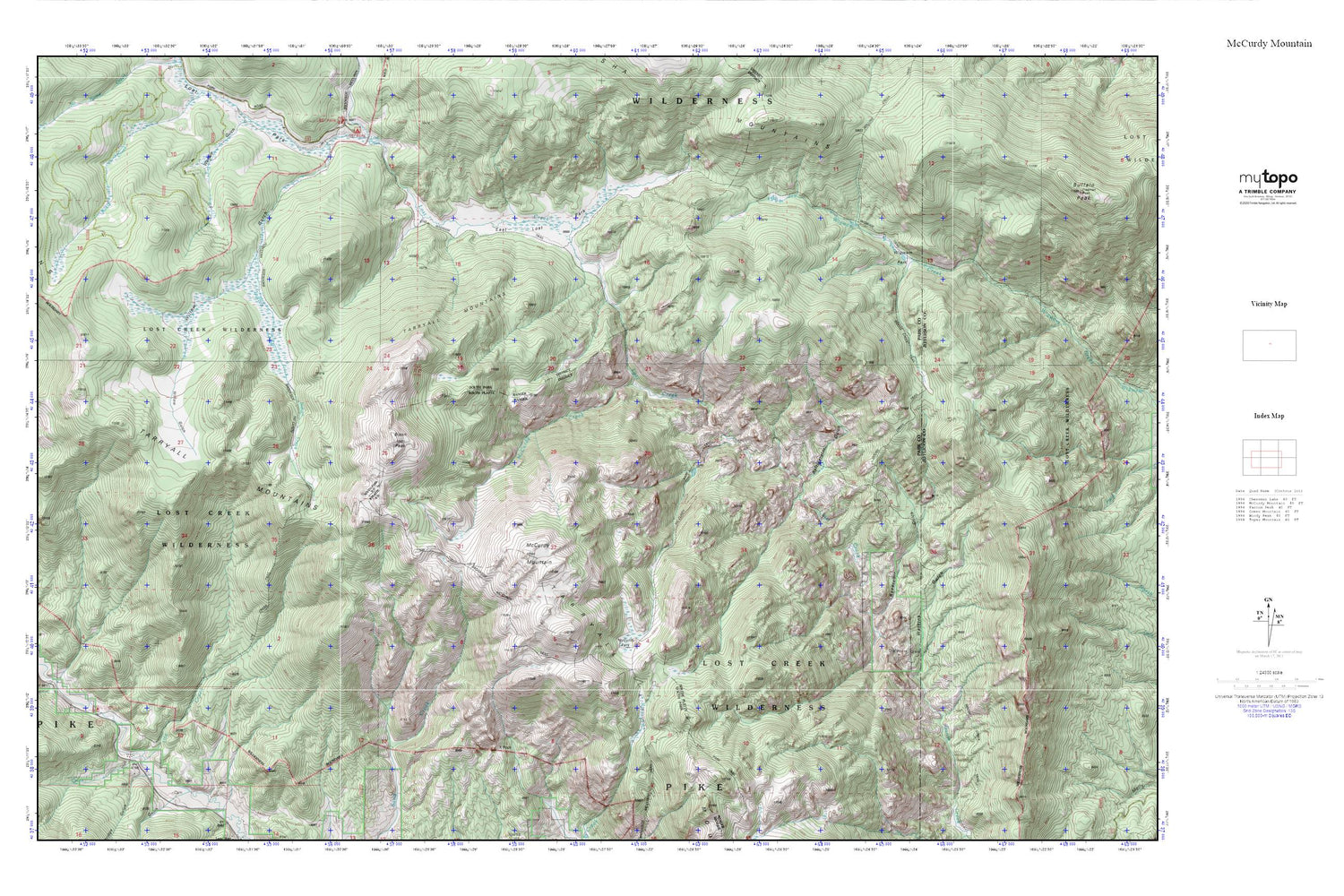
Denver_Lost Creek Wilderness Loop MyTopo Explorer Series Map
Couldn't load pickup availability
Topographic map of Denver_Lost Creek Wilderness Loop in the state of Colorado. From the MyTopo Explorer Series.
This topo map features shaded relief and comes with UTM / MGRS and Latitude/Longitude grids.
For more than two decades, MyTopo has provided maps to the most adventurous among us.. those who love to explore our nation’s remote wilderness areas, climb our highest peaks, and trek across our vast public lands. This map is part of a curated collection of the most popular places for which MyTopo customers have designed maps. It is a “bucket list” of the most amazing places to hike, hunt, and explore.
This map contains the following named places: 80456,Bison Mountain,Bridge Gulch,East Lost Park,Harmonica Arch,Indian Creek,Indian Creek Trail,Lost Creek,Lost Creek Wilderness,Lost Park Mine,McCurdy Creek,McCurdy Mountain,McCurdy Park,Refrigerator Gulch,Reservoir Gulch,Second Creek,Tarryall Campground,Tarryall Mountains,Ute Creek,Ute Creek Trailhead,Watkins Gulch,Wigwam Park,X Rock