MyTopo
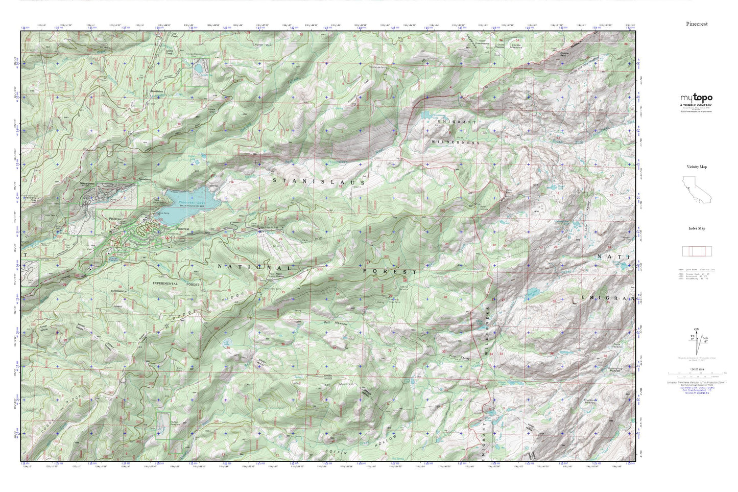
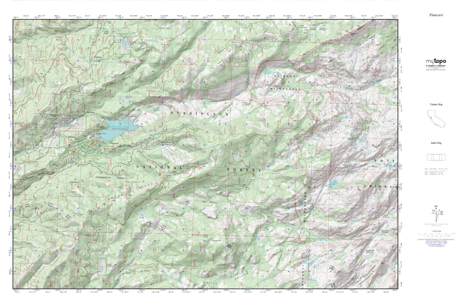
Pinecrest MyTopo Explorer Series Map
Couldn't load pickup availability
Topographic map of Pinecrest in the state of California. From the MyTopo Explorer Series.
This topo map features shaded relief and comes with UTM / MGRS and Latitude/Longitude grids.
For more than two decades, MyTopo has provided maps to the most adventurous among us.. those who love to explore our nation’s remote wilderness areas, climb our highest peaks, and trek across our vast public lands. This map is part of a curated collection of the most popular places for which MyTopo customers have designed maps. It is a “bucket list” of the most amazing places to hike, hunt, and explore.
This map contains the following named places: 95375,Aspen Meadow,Bear Lake,Bell Creek,Bell Meadow,Bell Mountain,Bumblebee,Burst Rock,California Alumni Camp,Camp Bray,Camp Chinquapin,Camp Lake,Camp MacBride,Camp Stephens California Alumni Camp,Camp Sylvester,Catfish Lake,Chain Lakes,Crabtree Campsite,Dodge Meadow,Dodge Ridge,Dodge Ridge Ski Area,Fiddlers Green,Gertrude Lake,Gianelli Cabin,Gooseberry Creek,Grouse Lake,Herring Creek,Lily Creek,Lily Lake,Main Strawberry 97-074 Dam,Meadowview Campground,Mud Lake,Pine Valley,Pinecrest,Pinecrest Campground,Pinecrest Elementary School,Pinecrest Lake,Pinecrest Lookout,Pinecrest Peak,Pinecrest Post Office,Pinecrest Treatment Plant,Pioneer Trail Campground,Powell Lake,Sheering Creek,Stanislaus National Forest,Strawberry,Strawberry Census Designated Place,Strawberry Fire Protection District,Strawberry Forestry Division Fire Station,Strawberry Peak,Strawberry Work Center,Summit Ranger Station,Tuolumne County Fire Department Station 55 Pinecrest,Waterhouse Lake


