MyTopo
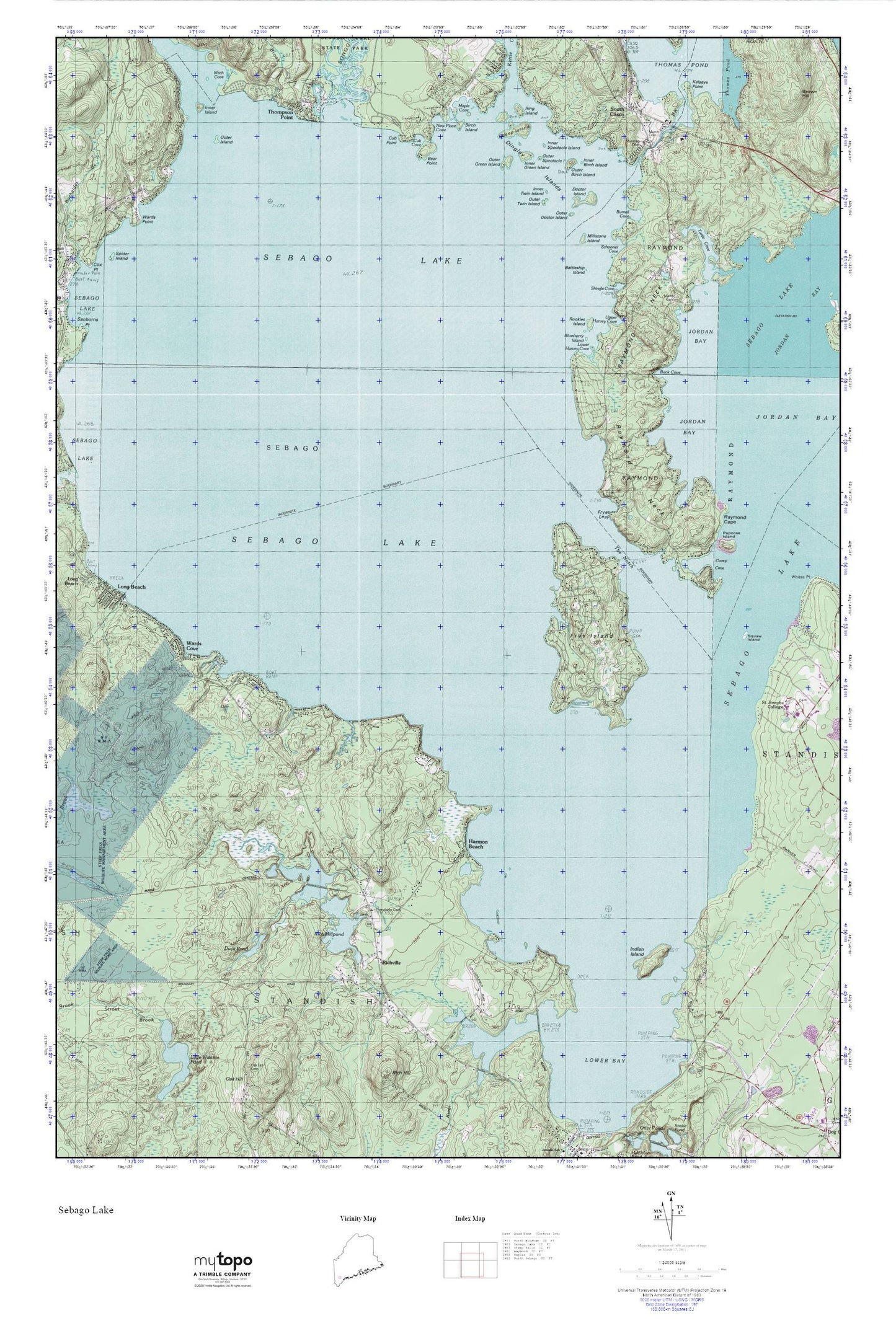
Sebago Lake MyTopo Explorer Series Map
Couldn't load pickup availability
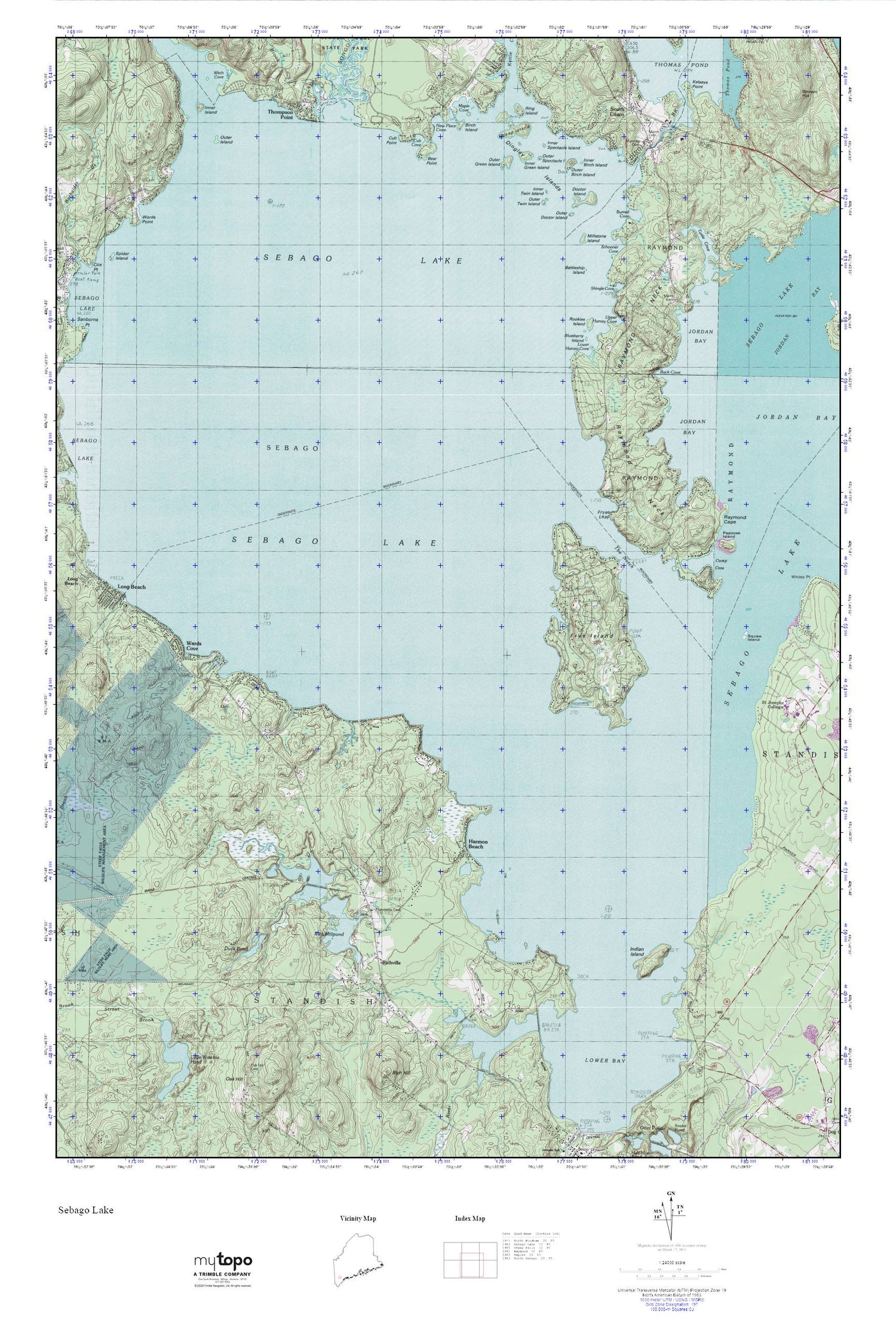
Topographic map of Sebago Lake in the state of Maine. From the MyTopo Explorer Series.
This topo map features shaded relief and comes with UTM / MGRS and Latitude/Longitude grids.
For more than two decades, MyTopo has provided maps to the most adventurous among us.. those who love to explore our nation’s remote wilderness areas, climb our highest peaks, and trek across our vast public lands. This map is part of a curated collection of the most popular places for which MyTopo customers have designed maps. It is a “bucket list” of the most amazing places to hike, hunt, and explore.
This map contains the following named places: Battleship Island,Bear Point,Birch Island,Blueberry Island,Burnell Cove,Camp Cove,Cub Cove,Cub Point,Dingley Brook,Dingley Islands,Doctor Island,Duck Pond,Friendship Cemetery,Frye Island,Frye Island Fire Department Station 1,Frye Island Fire Department Station 2,Frye Island Golf Course,Frye Island Police Department,Fryes Leap,Future Builders School,Hamlin Cemetery,Harmon - Waterhouse Cemetery,Harmon Beach,Indian Island,Inner Birch Island,Inner Green Island,Inner Island,Inner Spectacle Island,Inner Twin Island,Jedediah Lumbard Cemetery,Jordan Bay,Kathleen and Daniel Wellehan Library,Kelseys Point,Knight Cemetery,Littlefield Cemetery,Lower Bay,Lower Harvey Cove,Mains Cemetery,Manning Cemetery,Maple Cove,Merrill Isle,Millstone Island,Murch Cemetery,New Place Cove,Outer Birch Island,Outer Doctor Island,Outer Green Island,Outer Island,Outer Spectacle Island,Outer Twin Island,Papoose Island,Raymond Cape,Raymond Neck,Rich Mill Pond Dam,Rich Millpond,Richville,Richville Library,Ring Island,Rookies Island,Schooner Cove,Sebago Lake,Sheep Island,Shingle Cove,Songo River,South Casco,The Notch,Thomas Pond Dam,Thompson Point,Town of Frye Island,Town of Standish,Turtle Cove,Upper Harvey Cove,Ward Cemetery,Wards Cove,WGAN-AM (Portland),Whitney Brook,Witch Cove


