MyTopo
Roberts Mountain MyTopo Explorer Series Map
Couldn't load pickup availability
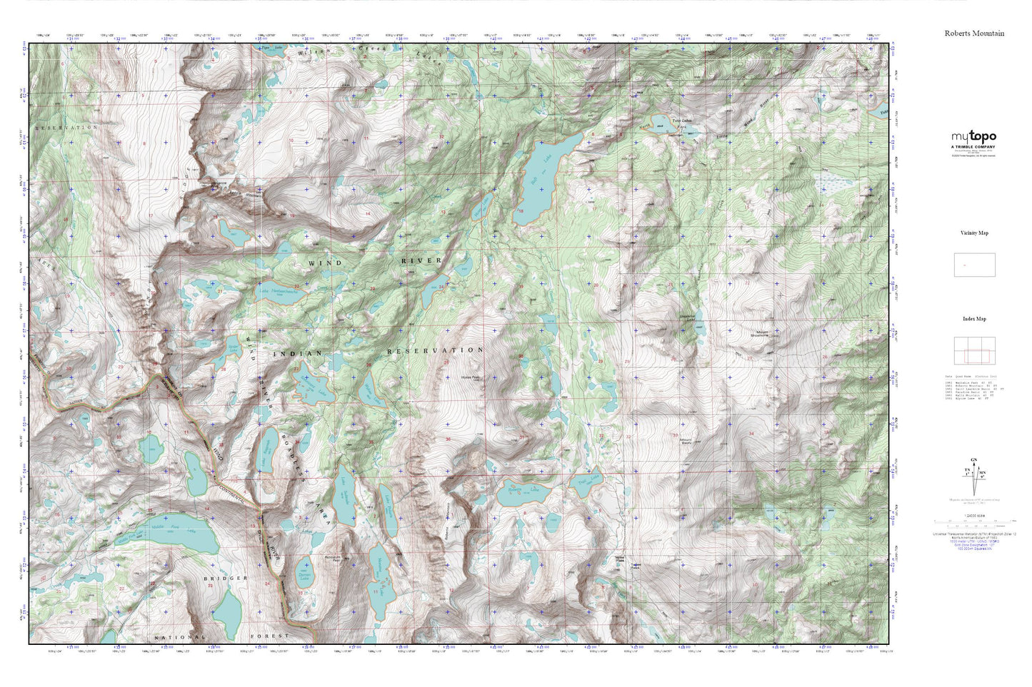
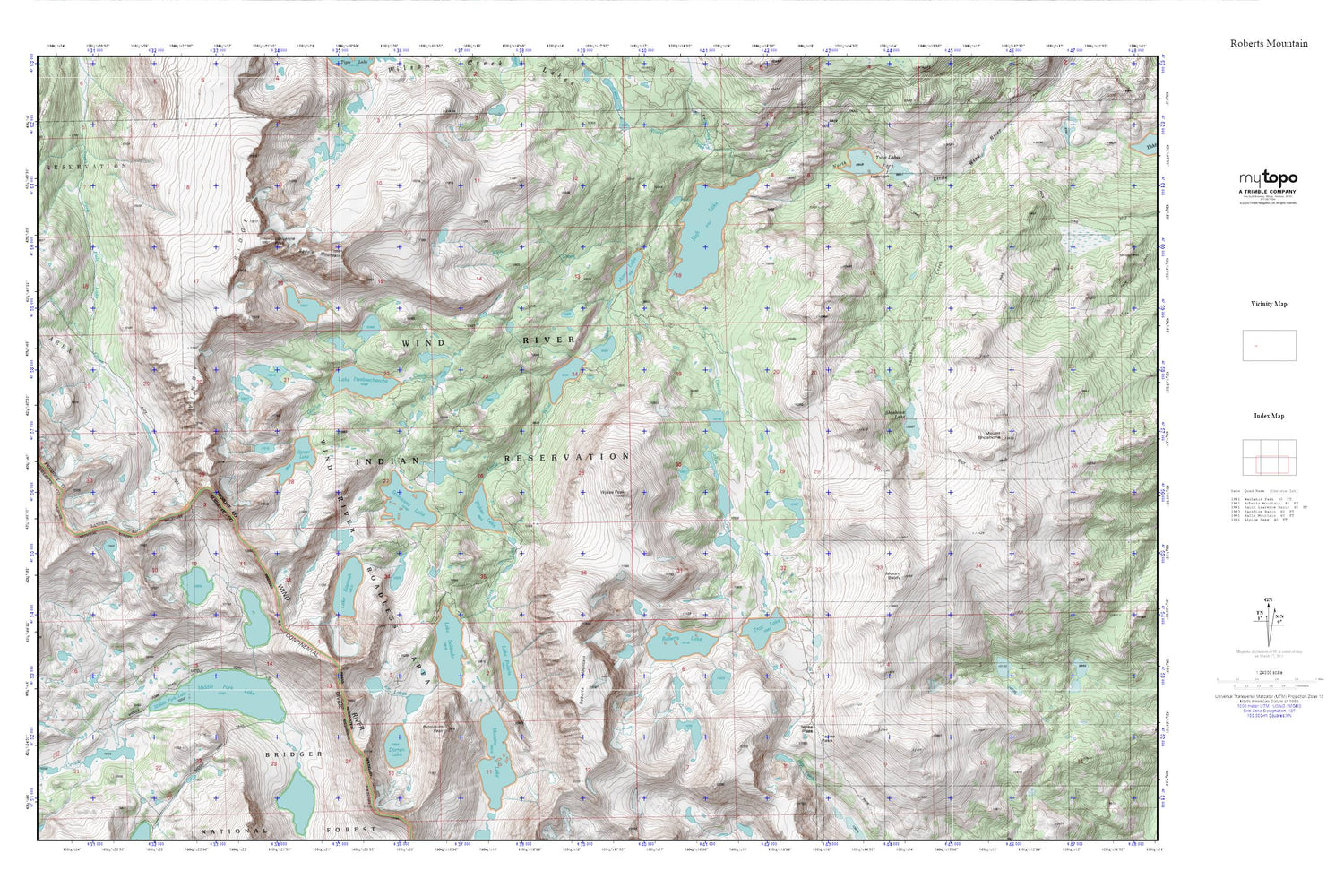
Topographic map of Roberts Mountain in the state of Wyoming. From the MyTopo Explorer Series.
This topo map features shaded relief and comes with UTM / MGRS and Latitude/Longitude grids.
For more than two decades, MyTopo has provided maps to the most adventurous among us.. those who love to explore our nation’s remote wilderness areas, climb our highest peaks, and trek across our vast public lands. This map is part of a curated collection of the most popular places for which MyTopo customers have designed maps. It is a “bucket list” of the most amazing places to hike, hunt, and explore.
This map contains the following named places: Bewmark Lake,Darren Lake,Fremont Trail,Glacier Creek,Ice Lakes,Kagevah Pass,Kagevah Peak,Lake Heebeecheeche,Lake Kagevah,Lake Polaris,Lake Solitude,Middle Fork Lake,Middle Fork Trail,Moraine Lake,Mount Baldy,Movo Lake,Odyssey Peak,Petroleum Peak,Photo Pass,Raft Lake,Roberts Lake,Roberts Mountain,Saddle Mountain,Shoshone Creek,Shoshone Lake,Sonnicant Lake,Spider Lake,Tepee Pass,Trail Lake,Twenty Lakes Creek,Twin Lakes,Wilson Creek,Wind River Roadless Area,Windy Ridge,Wolf Creek,Wolverine Peak,Wykee Lake,Wykee Peak