MyTopo
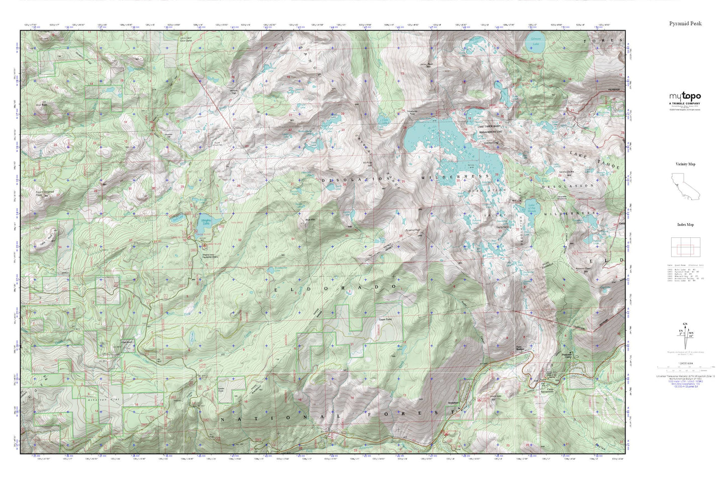
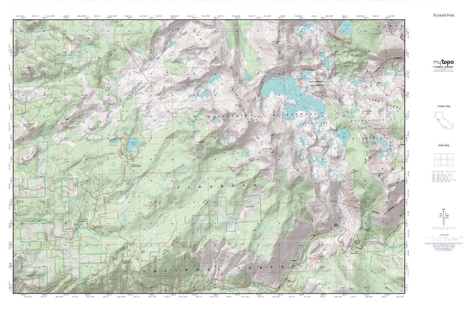
Pyramid Peak MyTopo Explorer Series Map
Couldn't load pickup availability
Topographic map of Pyramid Peak in the state of California. From the MyTopo Explorer Series.
This topo map features shaded relief and comes with UTM / MGRS and Latitude/Longitude grids.
For more than two decades, MyTopo has provided maps to the most adventurous among us.. those who love to explore our nation’s remote wilderness areas, climb our highest peaks, and trek across our vast public lands. This map is part of a curated collection of the most popular places for which MyTopo customers have designed maps. It is a “bucket list” of the most amazing places to hike, hunt, and explore.
This map contains the following named places: 95735,American Lake,Atherton Flat,Avalanche Lake,Beauty Lake,Bloodsucker Lake,Blue Mountain,Boomerang Lake,Camp Sacramento,Camp Sacramento Post Office,Channel Lake,Chapel of Our Lady of the Sierras,Chimney Flat,Clyde Lake,Cracked Crag,Crystal Range,Dark Lake,Desolation Lake,Desolation Valley,Dry Lake,El Dorado County Fire Protection District Station 15 Strawberry,Forni Lake,Four Cornered Peak,Fourth of July Flat,Frata Lake,Gefo Lake,Gertrude Lake,Grouse Lake,Heather Lake,Hemlock Lake,Horsetail Falls,Island Lake,Jabu Lake,Lake Aloha,Lake Le Conte,Lake Margery,Lake of the Woods,Lake Sylvia,Lovers Leap,Lovers Leap Campground,Lower Forni,Lyons,Lyons Creek,Lyons Lake,Medley Lakes 97-057 Dam,Mortimer Flat,Mosquito Pass,Mount Price,Osma Lake,Peavine Ridge,Pitt Lake,Pyramid Creek,Pyramid Lake,Pyramid Peak,Rocky Canyon,Ropi Lake,Rupley Cabin,Sayles Flat,Secret Lake,Slick Rock,Smith Lake,Smith Lake 1-028 Dam,Strawberry,Susie Lake,Table Rock,Toem Lake,Twin Bridges,Twin Bridges Post Office,Twin Lakes,Tyler Lake,Umpa Lake,Upper Forni,Waca Lake,Willow Flat,Wilson Ranch,Windmiller Cabin,Windmiller Trail,Wrights Lake,Wrights Lake Campgorund


