MyTopo
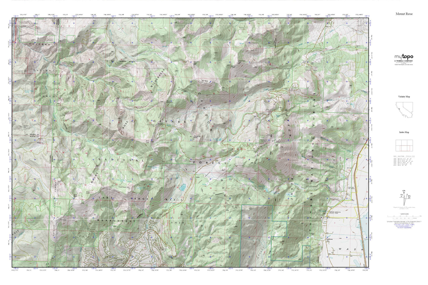
Mount Rose MyTopo Explorer Series Map
Couldn't load pickup availability
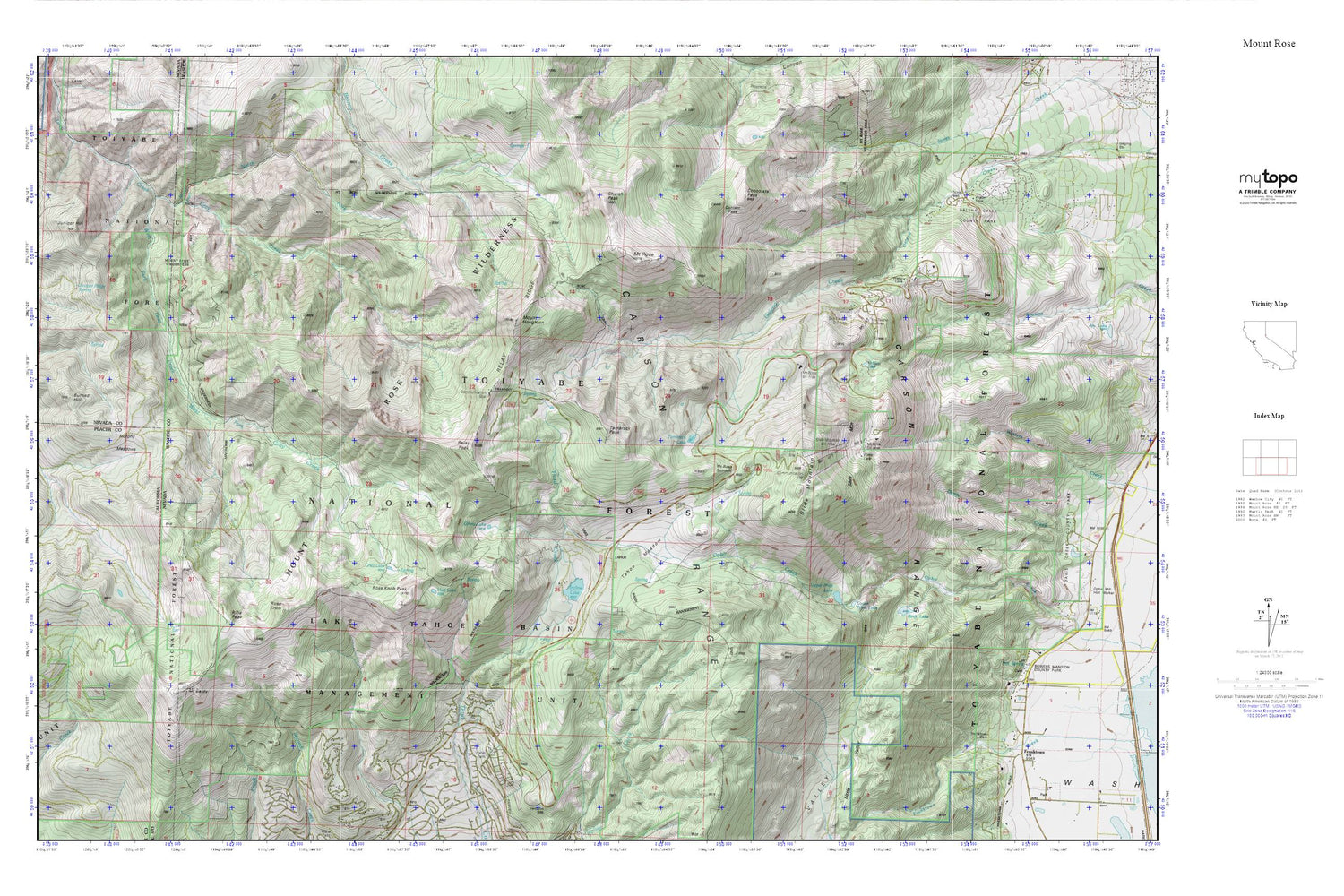
Topographic map of Mount Rose in the states of Nevada, California. From the MyTopo Explorer Series.
This topo map features shaded relief and comes with UTM / MGRS and Latitude/Longitude grids.
For more than two decades, MyTopo has provided maps to the most adventurous among us.. those who love to explore our nation’s remote wilderness areas, climb our highest peaks, and trek across our vast public lands. This map is part of a curated collection of the most popular places for which MyTopo customers have designed maps. It is a “bucket list” of the most amazing places to hike, hunt, and explore.
This map contains the following named places: Burned Hill,Camp Fire Girls Camp,Carson Range,Chocolate Peak,Church Peak,Contact Pass,Folsom Camp,Franktown Creek Cemetery,Galena Creek County Park,Galena Creek Guard Station,Ginny Lake,Grass Lake,Gray Lake,Hidden Lake,Incline Lake,Incline Lake Dam,Juniper Hill,Juniper Ridge Spring,KIIQ-FM (Reno),KOLO-TV (Reno),KREN-TV (Reno),KRNO-FM (Reno),KZAK-FM (Incline Village),Lower Price Lake,Mount Baldy,Mount Houghton,Mount Rose,Mount Rose Campground,Mount Rose Highway Maintenance Station,Mount Rose Relay Station,Mount Rose Ski Area,Mount Rose Summit,Mount Rose Trail,Mud Lake,Murphy Meadows,North Fork Gray Creek,North Lake Tahoe Fire Protection District Station 13,Relay Peak,Relay Ridge,Rifle Peak,Rock Lake,Rose Knob,Rose Knob Peak,Sky Tavern Ski Area,Slab Cliffs,Slide Mountain,Slide Mountain Ski Area,Stockhams Saw Mill,Tahoe Meadows,Tahoe Meadows Snowplay Area,Tamarack Lake,Tamarack Peak,Upper Price Lake,West Fork Gray Creek,Whittell Forest and Wildlife Management Area


