MyTopo
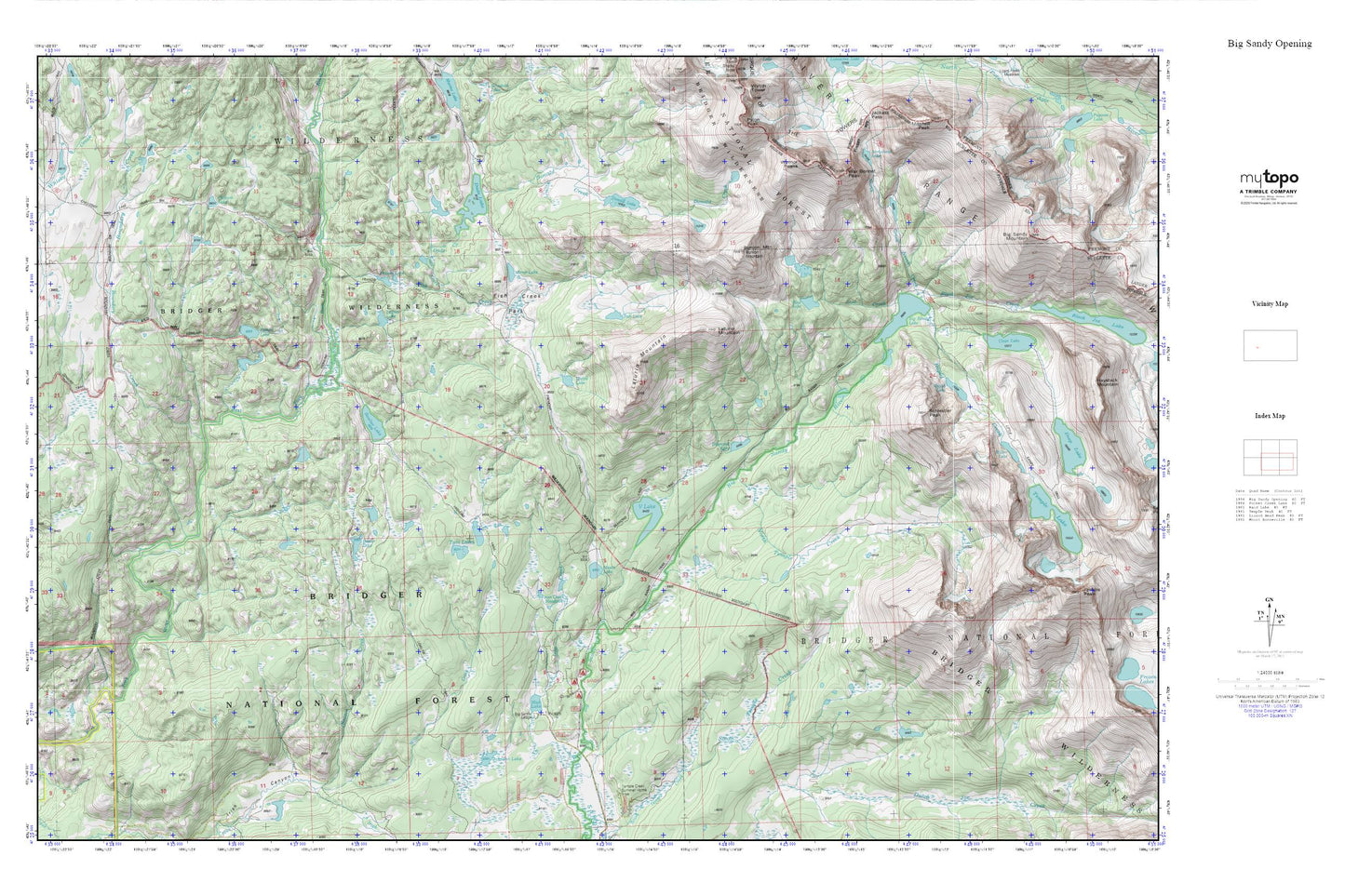
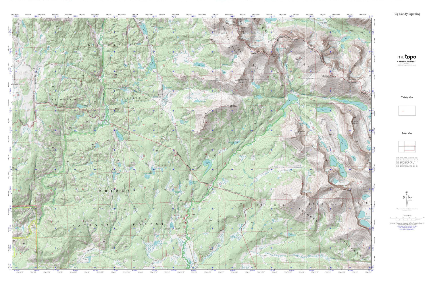
Big Sandy Opening MyTopo Explorer Series Map
Couldn't load pickup availability
Topographic map of Big Sandy Opening in the state of Wyoming. From the MyTopo Explorer Series.
This topo map features shaded relief and comes with UTM / MGRS and Latitude/Longitude grids.
For more than two decades, MyTopo has provided maps to the most adventurous among us.. those who love to explore our nation’s remote wilderness areas, climb our highest peaks, and trek across our vast public lands. This map is part of a curated collection of the most popular places for which MyTopo customers have designed maps. It is a “bucket list” of the most amazing places to hike, hunt, and explore.
This map contains the following named places: Arrowhead Lake,Beaver Creek,Beaver Lake,Big Sandy Campground,Big Sandy Lake,Big Sandy Lodge,Big Sunday Trail,Black Joe Creek,Blue Lake,Boulter Dam,Boulter Lake,Boulter Reservoir,Boundary Creek,Boundary Creek Trail,Bunion Mountain,Chilcoot Lake,Cirque of the Towers,Clear Lake Dam,Dads Creek,Dads Lake,Diamond Lake,Diamond Lake Trail,Donald Creek,Donald Lake,Fish Creek,Fish Creek Park,Fish Lake,Francis Lake,Francis Lake Tail,Highline Trail,Iron Creek,Iron Creek Meadows,Johnson Lake,Laturio Mountain,Legion Lake,Little Dads Lake,Lost Creek,Meeks Lake,Mirror Lake,Mud Lake,North Creek,North Lake,North Temple Creek,Poston Lake,Poston Meadows,Rapid Creek,Rapid Lake,Schiestler Peak,Temple Peak Deposit,Twin Lakes,V Lake,War Bonnet Peak,Warrior Peaks,Wheeler Ranch Trail