MyTopo
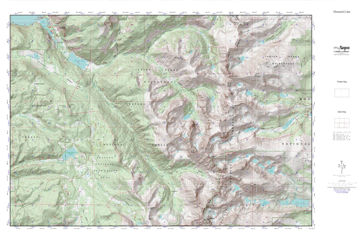
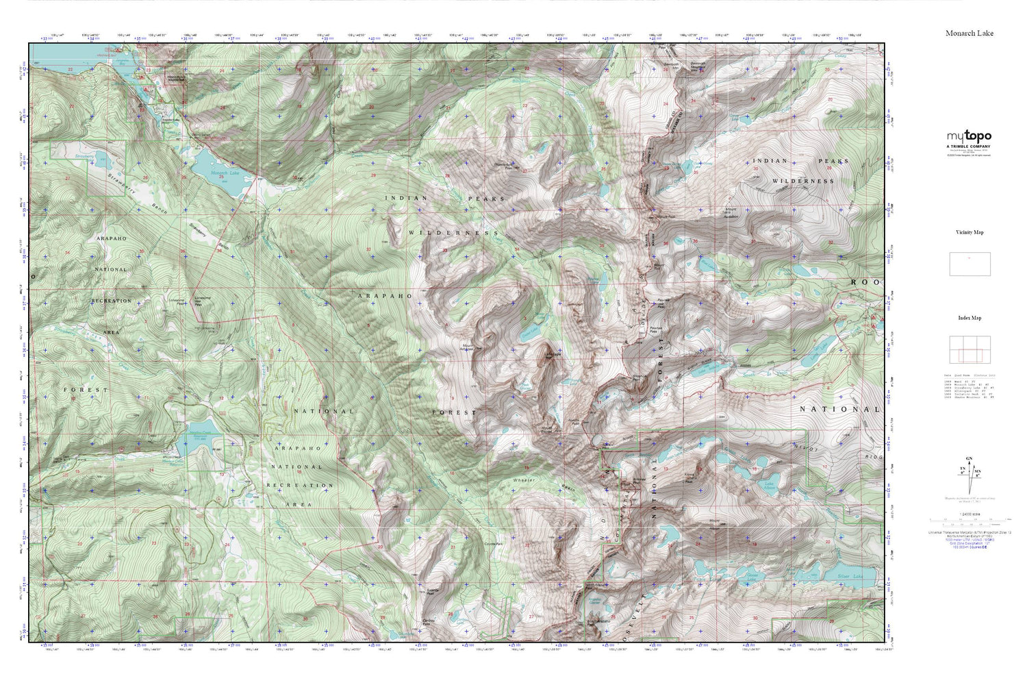
Monarch Lake MyTopo Explorer Series Map
Couldn't load pickup availability
Topographic map of Monarch Lake in the state of Colorado. From the MyTopo Explorer Series.
This topo map features shaded relief and comes with UTM / MGRS and Latitude/Longitude grids.
For more than two decades, MyTopo has provided maps to the most adventurous among us.. those who love to explore our nation’s remote wilderness areas, climb our highest peaks, and trek across our vast public lands. This map is part of a curated collection of the most popular places for which MyTopo customers have designed maps. It is a “bucket list” of the most amazing places to hike, hunt, and explore.
This map contains the following named places: Apache Peak,Arapaho Creek,Arapaho Pass Trail,Arapaho Valley Ranch,Arikaree Glacier,Arikaree Peak,Beaver Mica Mine,Blue Lake,Buchanan Creek,Caribou Trail,Cascade Creek,Cascade Trail,Columbine Lake Trail,Coney Lake,Coyote Park,Crater Lake,Crater Lake Campground,Fair Glacier,Goose Lake,Green Lake Number 1,Green Lake Number 1 Dam,Green Lake Number 2,Green Lake Number 2 Dam,Green Lake Number 3,Green Lake Number 3 Dam,Green Lakes,Hell Canyon,High Lonesome Mine,Indian Peaks,Indian Peaks Wilderness,Irving Hale Creek,Isabelle Glacier,Isabelle Glacier Trail,Kiowa Peak,Lake Isabelle,Lake Isabelle Dam,Little Pawnee Peak,Lone Eagle Peak,Lonesome Peak,Meadow Creek Campground,Meadow Creek Dam,Meadow Creek Fisherman Parking,Meadow Creek Reservoir,Mill Creek,Mirror Lake,Monarch Lake,Monarch Lake Dam,Monarch Lake Trailhead Parking,Monarch Mine,Mount Achonee,Mount Albion,Mount Audubon,Mount George,Mount Toll,Navajo Glacier,Navajo Peak,Niwot Ridge,North Arapaho Peak,Paiute Peak,Pawnee Lake,Pawnee Lake Campground,Pawnee Pass,Pawnee Pass Trail,Pawnee Peak,Peck Glacier,Ruth Group of Claims,Satanta Peak,Sawmill Meadow,Shelter Rock Campground,Shoshoni Peak,Strawberry Bench,Strawberry Lake,Thunderbolt Peak,Trailhead Campground,Triangle Lake,Triple Lakes,Upper Coney Lake,Western Box Campground,Wheeler Basin


