MyTopo
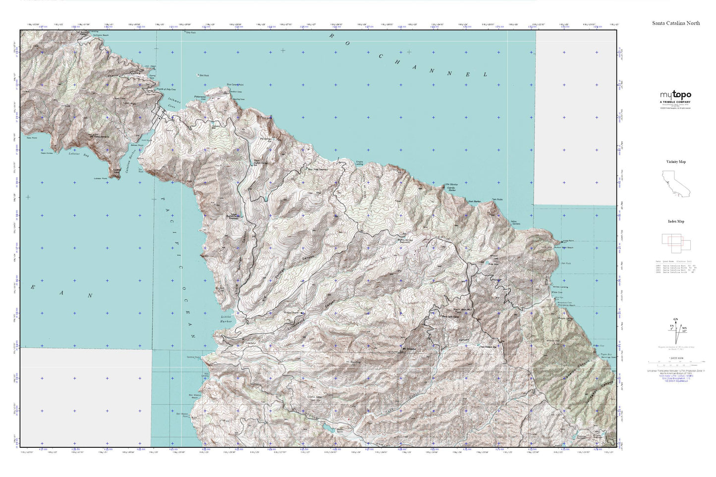
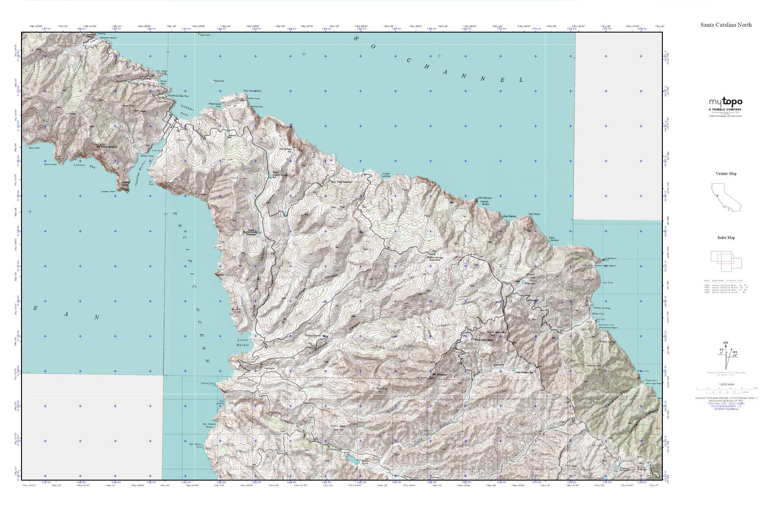
Santa Catalina North MyTopo Explorer Series Map
Couldn't load pickup availability
Topographic map of Santa Catalina North in the state of California. From the MyTopo Explorer Series.
This topo map features shaded relief and comes with UTM / MGRS and Latitude/Longitude grids.
For more than two decades, MyTopo has provided maps to the most adventurous among us.. those who love to explore our nation’s remote wilderness areas, climb our highest peaks, and trek across our vast public lands. This map is part of a curated collection of the most popular places for which MyTopo customers have designed maps. It is a “bucket list” of the most amazing places to hike, hunt, and explore.
This map contains the following named places: 90704,Ballast Point,Ben Weston Beach,Ben Weston Point,Big Springs Canyon,Big Springs Reservoir,Black Jack Camp,Black Jack Mountain,Blue Cavern Point,Buffalo Springs Reservoirs,Cabrillo Harbor,Cape Canyon Reservoir,Cape Cortes,Catalina Airport,Catalina Harbor,Catalina Head,Cherry Valley,Cottonwood Canyon,Deep Tank Reservoir,Eagles Nest,Echo Lake,Empire Landing,Fishermans Cove,Fourth of July Cove,Goat Harbor,Harbor Reef,Isthmus Cove,Italian Gardens,KBRT,KBRT-AM (Avalon),Kelp Point,KRPA-TV (Rancho Palos Verdes ),Little Gibraltar,Little Harbor,Little Springs Canyon,Lobster Bay,Lobster Point,Los Angeles County Fire Department Station 155,Lower Buffalo Corral Reservoir,Middle Canyon,Mills Landing,Mount Banning,Mount Orizaba,Mount Torquemada,Palos Verdes Division,Pin Rock,Santa Catalina Island,Sentinel Rock,Summit Reservoir,Twin Rocks,Two Harbors,Two Harbors Amphibious Terminal Seaplane Base,Upper Buffalo Corral Reservoir,Valley of Ollas,Whites Landing,Wrigley Ranch


