MyTopo
Slate Islands MyTopo Explorer Series Map
Couldn't load pickup availability
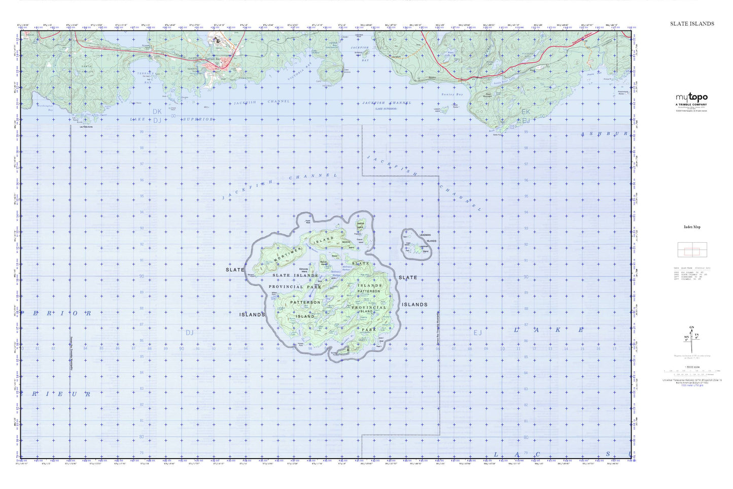
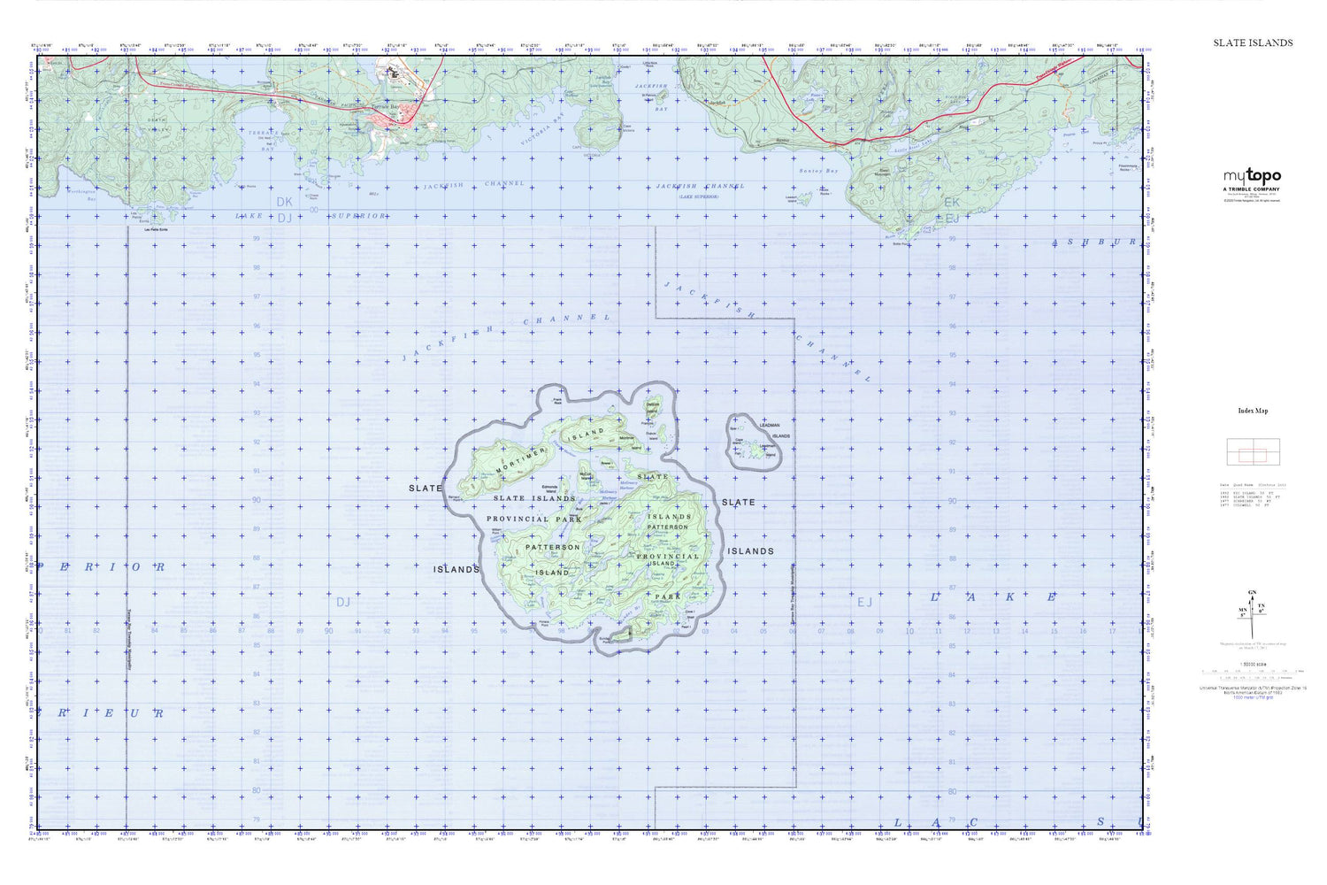
Topographic map of Slate Islands in the Canadian province of Ontario. From the MyTopo Explorer Series.
This topo map features shaded relief and comes with UTM / MGRS and Latitude/Longitude grids.
For more than two decades, MyTopo has provided maps to the most adventurous among us.. those who love to explore our nation’s remote wilderness areas, climb our highest peaks, and trek across our vast public lands. This map is part of a curated collection of the most popular places for which MyTopo customers have designed maps. It is a “bucket list” of the most amazing places to hike, hunt, and explore.
This map contains the following named places: Angel Lake,Barnard Point,Beaver Dam Lake,Blain Island,Bottle Cove,Bottle Point,Bowes Island,Burk Island,Cape Island,Chase Rock,Copper Harbour,Cove Island,Dahl Shoal,Delaute Island,Douglas Island,Duck Lake,Dupuis Island,Edmonds Island,Fenn Lake,Fish Island,Floating Island Lake,Flood Lake,Francois Island,Frank Rock,Golden Slipper,Grass Hill Lake,Haiste Rocks,Hart Lake,Heather Lake,High Dam Lake,Horace Cove,Horace Cove Lake,Horace Point,Jackfish Channel,Jacks Bay,Jacks Island,Kate Rock,Keith Rocks,Kelly's Harbour,King Lake,Lawrence Bay,Lawson Island,Leadman Island,Leadman Islands,Les Petits Ecrits,Les Petits Ecrits Channel,Logging Camp Lake,Long Lake,Lyda Bay,McColl Island,McColl Lake,McGreevy Harbour,Messy Lake,Mortimer Island,Mortimer Lake,Mud Lake,No Name Lake,Noname Bay,North Bladder Lake,North Twin Lake,Pass Lake,Patterson Island,Pearl Island,Peninsula Lake,Rock Island,Round Lake,Santoy Bay,Shallow Lake,Shell Island,Slate Islands,Slate Islands Provincial Park,South Bladder Lake,South Twin Lake,Spar Island,Steel Mountain,Sunday Harbour,Sunday Point,Swim Lake,Triangle Lake,Two Bog Lake,Veronica Lake,William Point