
MyTopo
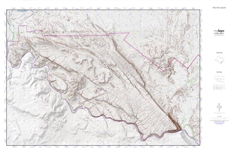
Mesa De Anguila MyTopo Explorer Series Map
Couldn't load pickup availability
Topographic map of Mesa De Anguila in the state of Texas. From the MyTopo Explorer Series.
This topo map features shaded relief and comes with UTM / MGRS and Latitude/Longitude grids.
For more than two decades, MyTopo has provided maps to the most adventurous among us.. those who love to explore our nation’s remote wilderness areas, climb our highest peaks, and trek across our vast public lands. This map is part of a curated collection of the most popular places for which MyTopo customers have designed maps. It is a “bucket list” of the most amazing places to hike, hunt, and explore.
This map contains the following named places: Comanche Creek,Mesa de Anguila,Santa Elena Canyon,Santa Elena Canyon Trail,Sierra Aguja,Tinaja Blanca,Tinaja Grande,Tinaja Lujan,Tinaja Rana


