MyTopo
Attean Pond MyTopo Explorer Series Map
Couldn't load pickup availability
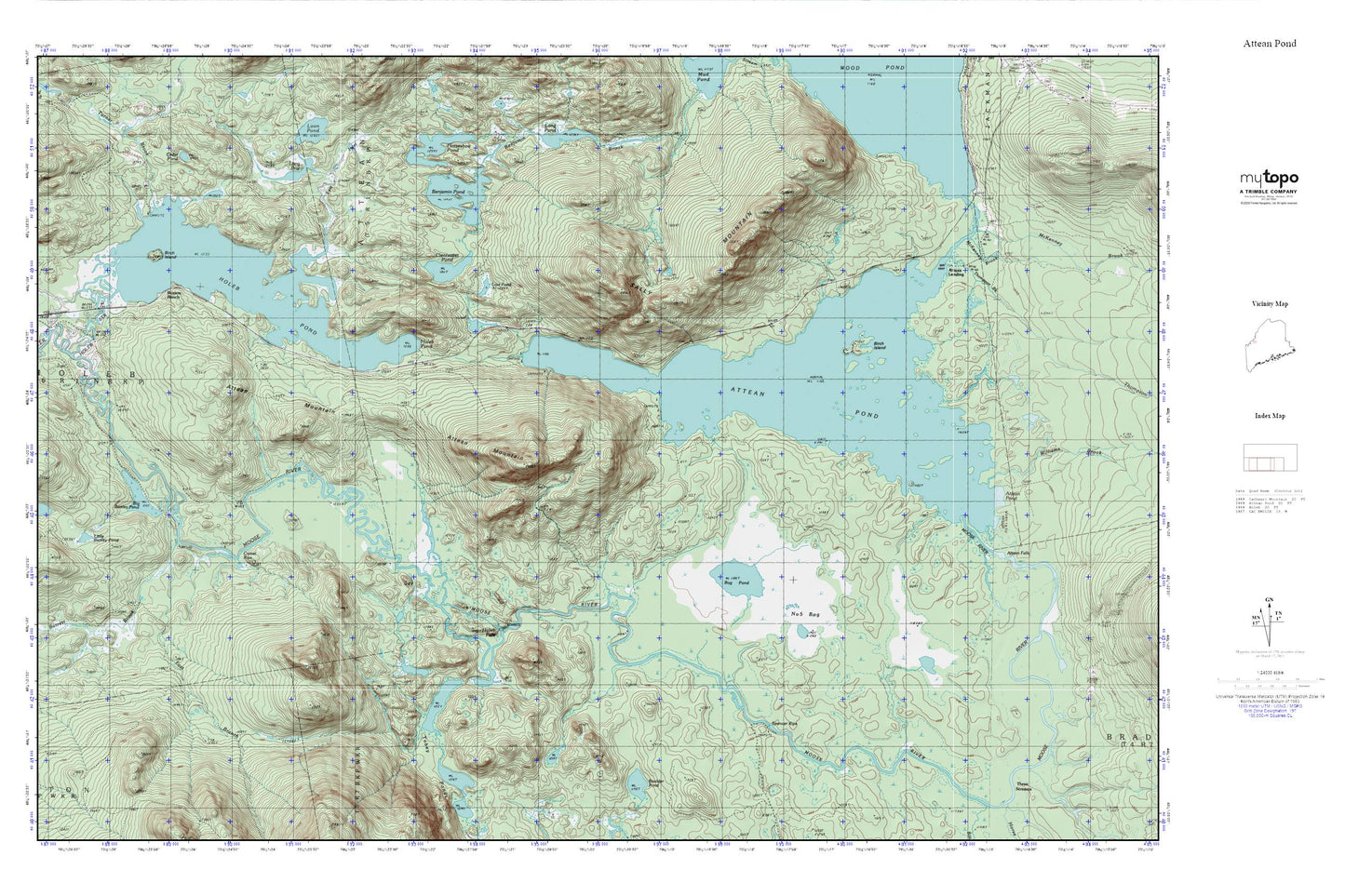
Topographic map of Attean Pond in the state of Maine. From the MyTopo Explorer Series.
This topo map features shaded relief and comes with UTM / MGRS and Latitude/Longitude grids.
For more than two decades, MyTopo has provided maps to the most adventurous among us.. those who love to explore our nation’s remote wilderness areas, climb our highest peaks, and trek across our vast public lands. This map is part of a curated collection of the most popular places for which MyTopo customers have designed maps. It is a “bucket list” of the most amazing places to hike, hunt, and explore.
This map contains the following named places: Attean,Attean Landing,Attean Mountain,Attean Pond,Attean Township,Barrett Brook,Benjamin Pond,Big Bartley Pond,Birch Island,Bog Pond,Boston Ranch,Boulder Pond,Camel Rips,Cedar Pond,Clearwater Pond,East Branch Barrett Brook,East Inlet,Holeb Falls,Holeb Pond,Horseshoe Pond,Long Bog,Lost Pond,McKenney Brook,Number Five Bog,Number Five Farm,Sally Mountain,Spencer Rips,Thompson Brook,Tobey Ponds,Turner Brook