MyTopo
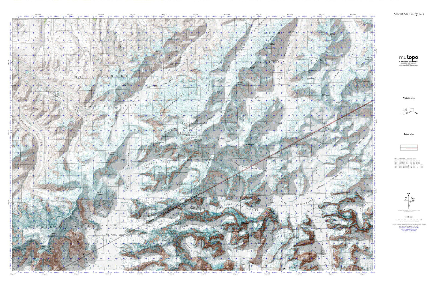
Denali MyTopo Explorer Series Map
Couldn't load pickup availability
Topographic map of Denali in the state of Alaska. From the MyTopo Explorer Series.
This topo map features shaded relief and comes with UTM / MGRS and Latitude/Longitude grids.
For more than two decades, MyTopo has provided maps to the most adventurous among us.. those who love to explore our nation’s remote wilderness areas, climb our highest peaks, and trek across our vast public lands. This map is part of a curated collection of the most popular places for which MyTopo customers have designed maps. It is a “bucket list” of the most amazing places to hike, hunt, and explore.
This map contains the following named places: Archdeacons Tower,Browne Tower,Carter Horn,Churchill Peaks,Denali,Denali Pass,East Buttress,East Fork Kahiltna Glacier,Farthing Horn,Flatiron,Harper Glacier,Harper Icefall,Jeffery Glacier,Jeffery Point,Kahiltna Notch,Kahiltna Pass,Kahiltna Peaks,Karstens Col,Karstens Ridge,Mount Capps,Mount Huntington,Mount Koven,North Peak,Northeast Fork Kahiltna Glacier,Northwest Fork Ruth Glacier,Parker Pass,Peters Basin,Peters Dome,Peters Glacier,Peters Pass,Pioneer Ridge,Ruth Gap,South Buttress,South Peak,Southeast Fork Kahiltna Glacier,Southeast Spur,Taylor Spur,Thayer Basin,Tluna Icefall,Traleika Icefall,West Buttress,West Fork Ruth Glacier,Wickersham Wall,Windy Corner