MyTopo
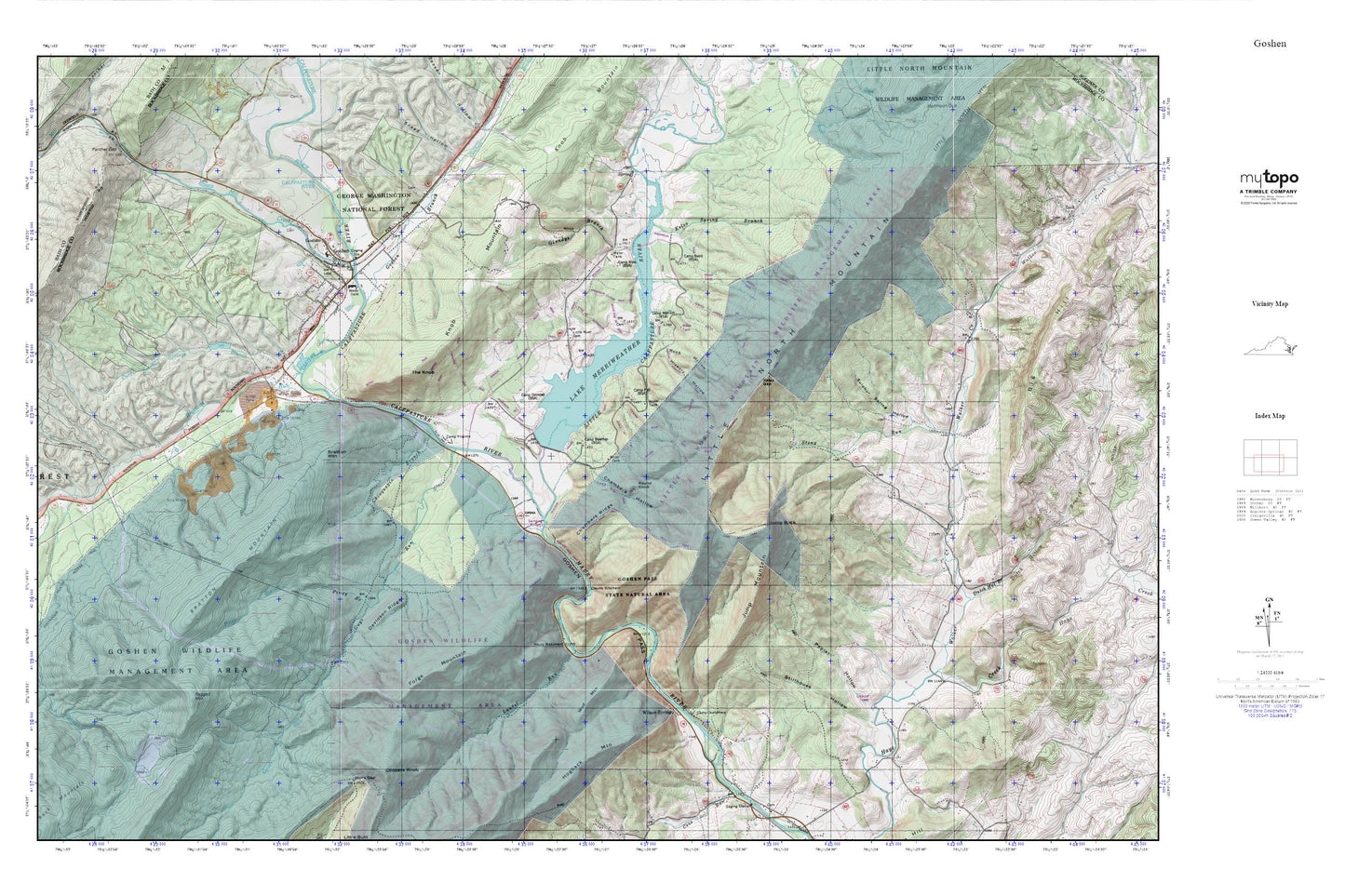
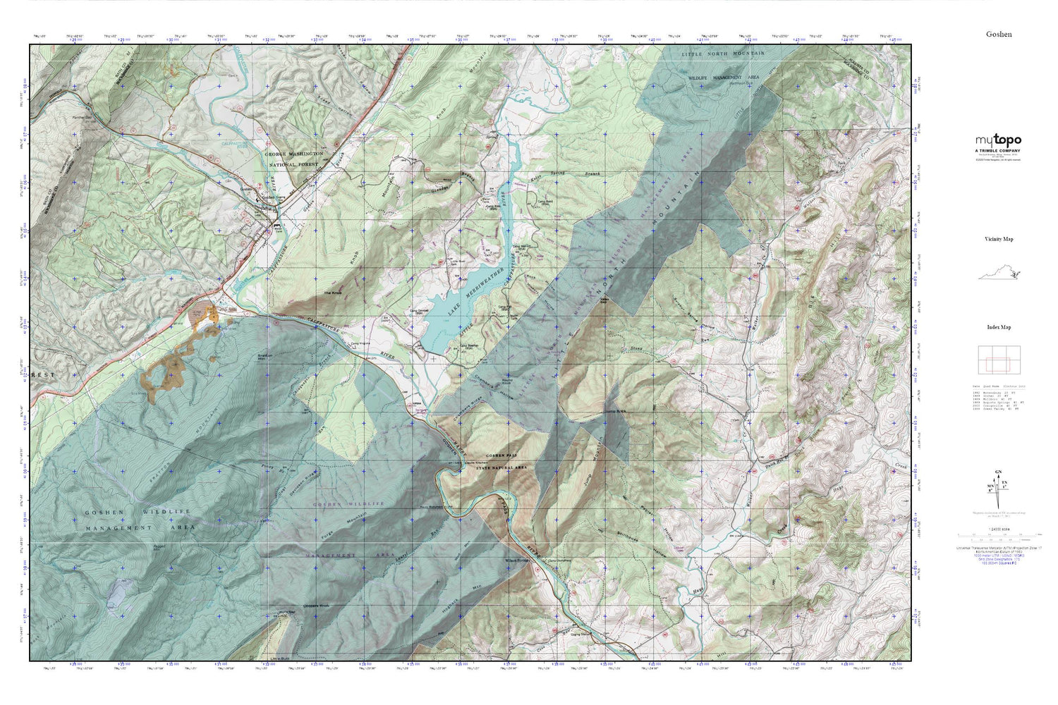
Goshen MyTopo Explorer Series Map
Couldn't load pickup availability
Topographic map of Goshen in the state of Virginia. From the MyTopo Explorer Series.
This topo map features shaded relief and comes with UTM / MGRS and Latitude/Longitude grids.
For more than two decades, MyTopo has provided maps to the most adventurous among us.. those who love to explore our nation’s remote wilderness areas, climb our highest peaks, and trek across our vast public lands. This map is part of a curated collection of the most popular places for which MyTopo customers have designed maps. It is a “bucket list” of the most amazing places to hike, hunt, and explore.
This map contains the following named places: 24439,24473,Anderson Trail,Bratton Mountain,Brattons Run,Burke Trail,Calfpasture River,Camp Baird,Camp Bowman,Camp Marriott,Camp Okahahwis,Camp Olmsted,Camp PMI,Camp Ross,Camp Virginia,Chambers Hollow,Chambers Ridge,Chinquapin Branch,Cold Sulpher Springs Dam,Cold Sulpher Springs Lake,Cold Sulphur Springs Branch,Coopers Knob,Crawford School,Davidson Ridge,Devils Kitchen,Dutch Hollow Branch,Forge Mountain,Glendye Branch,Gochenour Hunter Access Trail,Goshen,Goshen Branch,Goshen Dam,Goshen First Aid Crew Rescue 13,Goshen Land Company Bridge,Goshen Pass,Goshen Pass Trail,Goshen Post Office,Goshen Volunteer Fire Department,Goshen Wildlife Management Area,Guys Run,Hickory Hollow,Hogback Mountain,Hulls Gap,Hunters Trail,Hutcheson Ridge,Jump Mountain,Jump Rock,Jump Rock Trail,Kelso Gap,Kelso Spring Branch,Knob Mountain,Krider Trail,Lake Merriweather,Laurel Run,Little Calfpasture River,Little Peak Trail,Little Piney Mountain,Little River Cemetery,Little River Church,Maury Monument,Mill Creek,Missing Link Trail,Old Bridge Trail,Piney Branch,Poplar Hollow,Ragged Mountain,Rock Hollow,Round Knob,Round Knob Trail,Seay Trail,Shore Trail,Snead Hollow,Stillhouse Hollow,Stony Run,Sulphur Spring Hollow,The Knob,The Pastures,Town of Goshen,Tuscarora Trail,Viewing Rock Trail,Walker Creek,Walkers Creek District,Wilson Springs,Wolf Mountain


