MyTopo
Wetterhorn Peak MyTopo Explorer Series Map
Couldn't load pickup availability
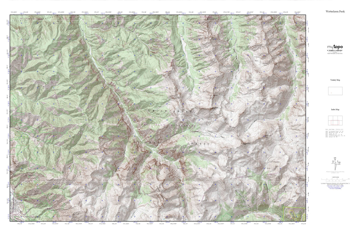
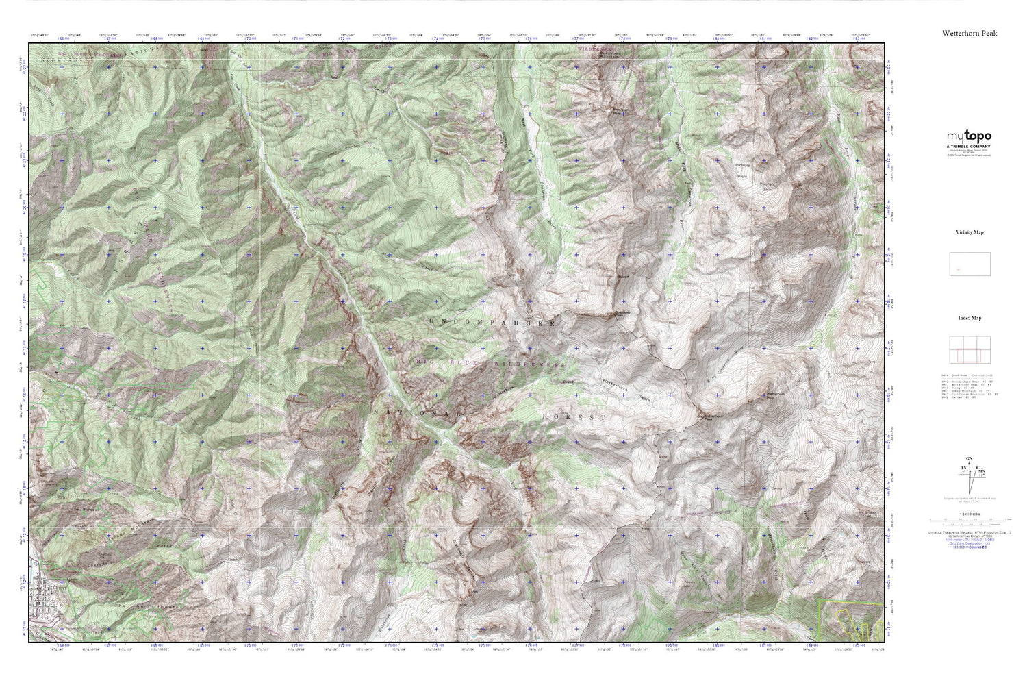
Topographic map of Wetterhorn Peak in the state of Colorado. From the MyTopo Explorer Series.
This topo map features shaded relief and comes with UTM / MGRS and Latitude/Longitude grids.
For more than two decades, MyTopo has provided maps to the most adventurous among us.. those who love to explore our nation’s remote wilderness areas, climb our highest peaks, and trek across our vast public lands. This map is part of a curated collection of the most popular places for which MyTopo customers have designed maps. It is a “bucket list” of the most amazing places to hike, hunt, and explore.
This map contains the following named places: 81427,Almadi Mine,Amador Mine,American Nettie Mine,American-Nettie Mine,Bachelor Mine,Bighorn Ridge,Blackwall Mountain,Boston Sunday Mine,Bridge of Heaven,Cascade Creek,Cascade Falls,Cascade Mountain,Chief Ouray Mine,Chipeta Mine,City of Ouray,Cow Creek Trail,Coxcomb Peak,Difficulty Creek,Dike Ridge,Donald Mine,El Mahdi Mine,Granger Mine,Horsethief Trail,Hummingbird Mine,Jonathan Mine,Matterhorn Peak,Memphis Mine,Middle Canyon,Neodesha Mine,Oben Creek,Old Maid Mine,Pony Express Mine,Porphyry Basin,Radium Springs Swimming Pool,Redcliff,Schofield Mine,Sieberg Mine,Skyrocket Creek,Storm Gulch,The Blowout,Thistle Park,Wanakah Mine,Wedge Mine,West Fork Trail,West View Mine,Wetterhorn Basin,Wetterhorn Creek,Wetterhorn Peak,Wildhorse Creek