MyTopo
Anthracite Range MyTopo Explorer Series Map
Couldn't load pickup availability
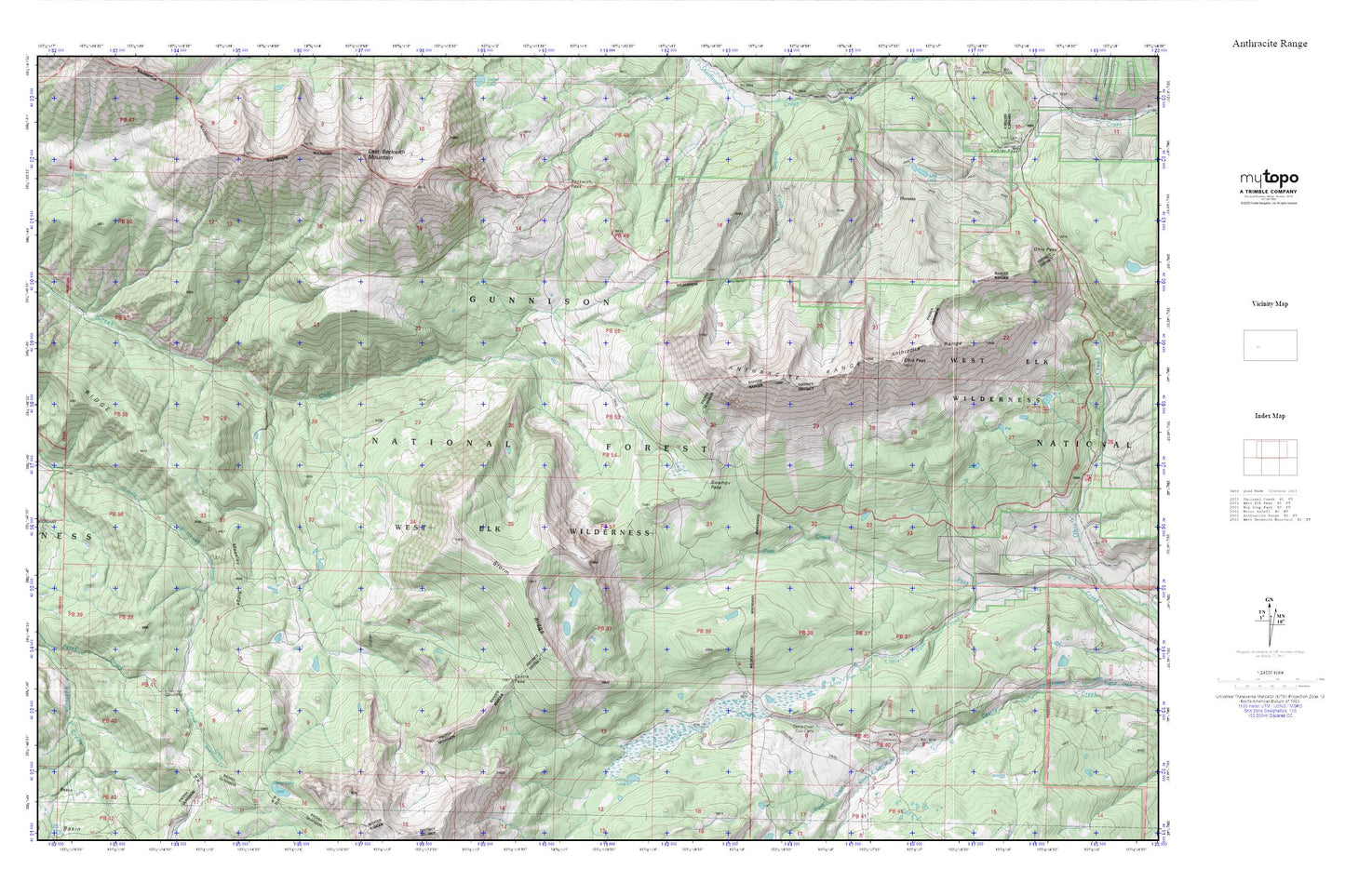
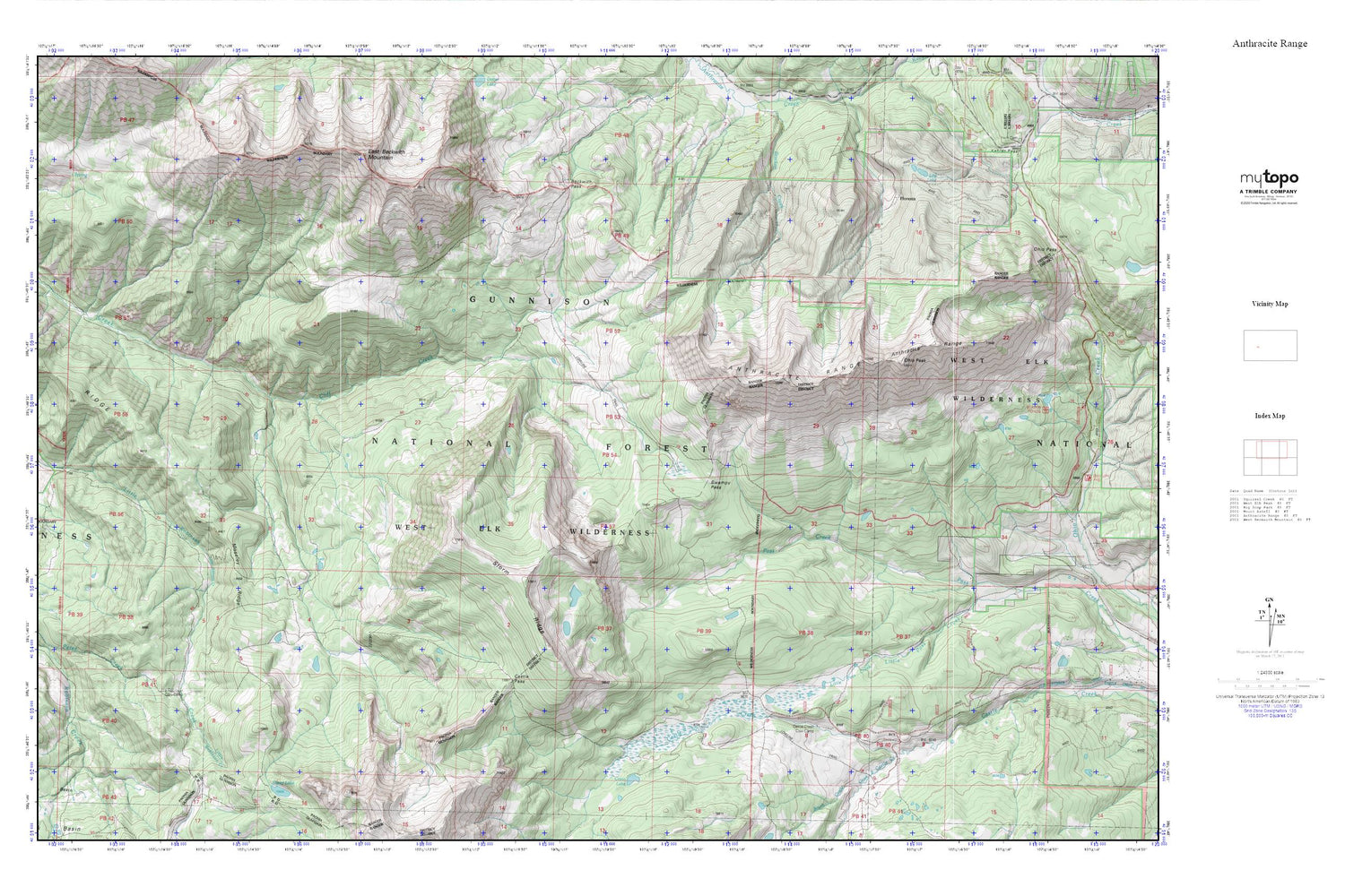
Topographic map of Anthracite Range in the state of Colorado. From the MyTopo Explorer Series.
This topo map features shaded relief and comes with UTM / MGRS and Latitude/Longitude grids.
For more than two decades, MyTopo has provided maps to the most adventurous among us.. those who love to explore our nation’s remote wilderness areas, climb our highest peaks, and trek across our vast public lands. This map is part of a curated collection of the most popular places for which MyTopo customers have designed maps. It is a “bucket list” of the most amazing places to hike, hunt, and explore.
This map contains the following named places: Anthracite Range,Beckwith Pass,Castle Creek Cow Camp,Castle Pass,Costo Lake,East Beckwith Mountain,Floresta,Floresta Post Office,Lily Lake,Little Robinson Cow Camp,Little Robinson Creek,Moseley Ridge,Ohio Peak,Ruby Mine,South Castle Creek,Storm Ridge,Swampy Pass