MyTopo
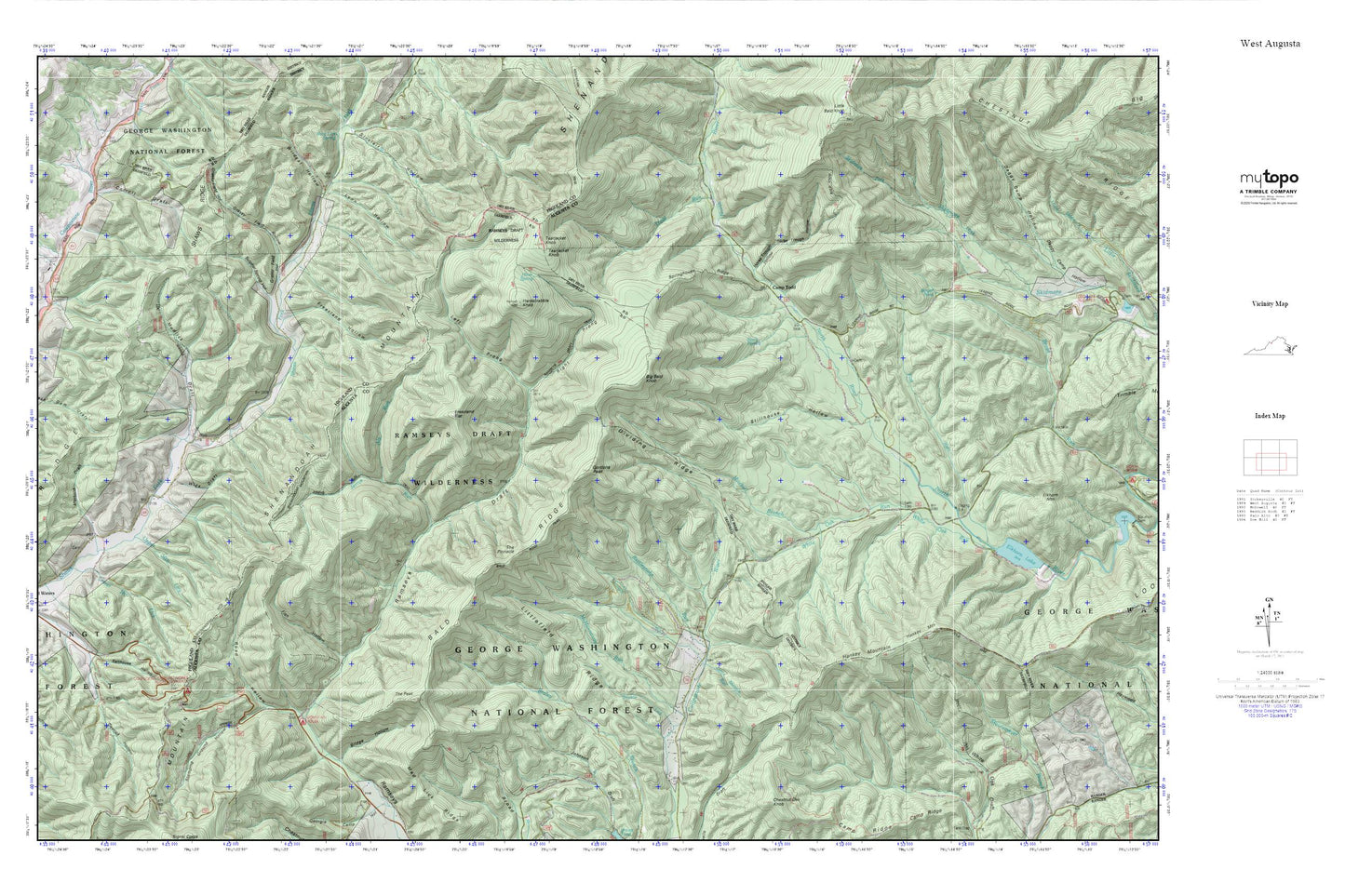
West Augusta MyTopo Explorer Series Map
Couldn't load pickup availability
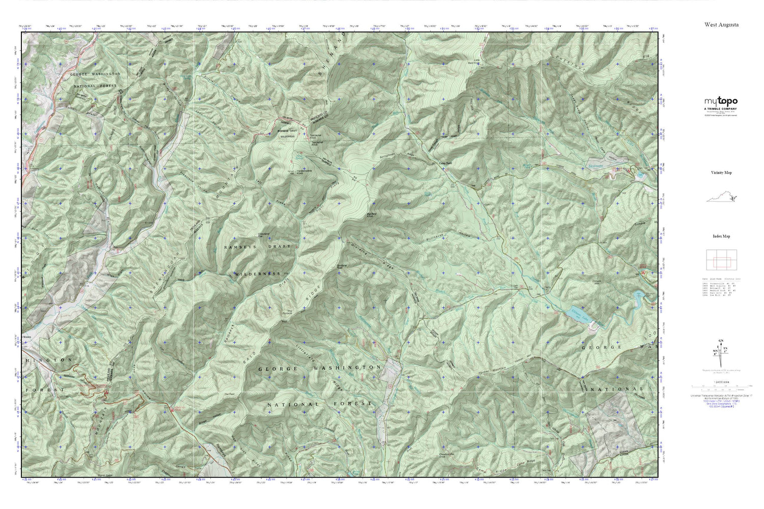
Topographic map of West Augusta in the state of Virginia. From the MyTopo Explorer Series.
This topo map features shaded relief and comes with UTM / MGRS and Latitude/Longitude grids.
For more than two decades, MyTopo has provided maps to the most adventurous among us.. those who love to explore our nation’s remote wilderness areas, climb our highest peaks, and trek across our vast public lands. This map is part of a curated collection of the most popular places for which MyTopo customers have designed maps. It is a “bucket list” of the most amazing places to hike, hunt, and explore.
This map contains the following named places: 24442,Als Run,Bald Knob Trail,Bald Ridge,Bald Ridge Trail,Barger Pond,Big Bald Knob,Bridge Hollow,Camp Todd,Carroll Draft,Confederate Breastworks,Devrick Hollow,Dividing Ridge,Dividing Ridge Trail,Double Lick,Fish Hollow,Flat Run,Freezland Flat,Freezland Hollow,Gordons Peak,Grassy Field Hollow,Hankey Mountain,Hankey Mountain Trail,Hardscrabble Knob,Hiner Spring,Horse Trough Hollow,Jerrys Run,Jerrys Run Trail,Jones Trail,Left Prong Ramseys Draft,Little Shingle Run,Littlefield Ridge,Lower Mountain Lick,Lynn Hollow,Mad Lick Ridge,McMannaway Run,Mitchell Branch,Mortons Draft,Mountain House Camp Site,Mudlick Draft,Ramseys Draft Trail,Ramseys Draft Wilderness,Rattlesnake Run,Right Prong Ramseys Draft,Road Hollow,Salthouse Hollow,Sexton Shelter,Shaws Ridge,Shingle Run,Springhouse Ridge,Stamping Ground Hollow,Stark Pond,Stillhouse Hollow,Sulphur Spring Hollow,Tearjacket Knob,The Peak,The Pinnacle,Trout Run,Upper Mountain Lick,White Oak Draft Trail,White Oak Run,Wide Draft,Wildcat Hollow


