MyTopo
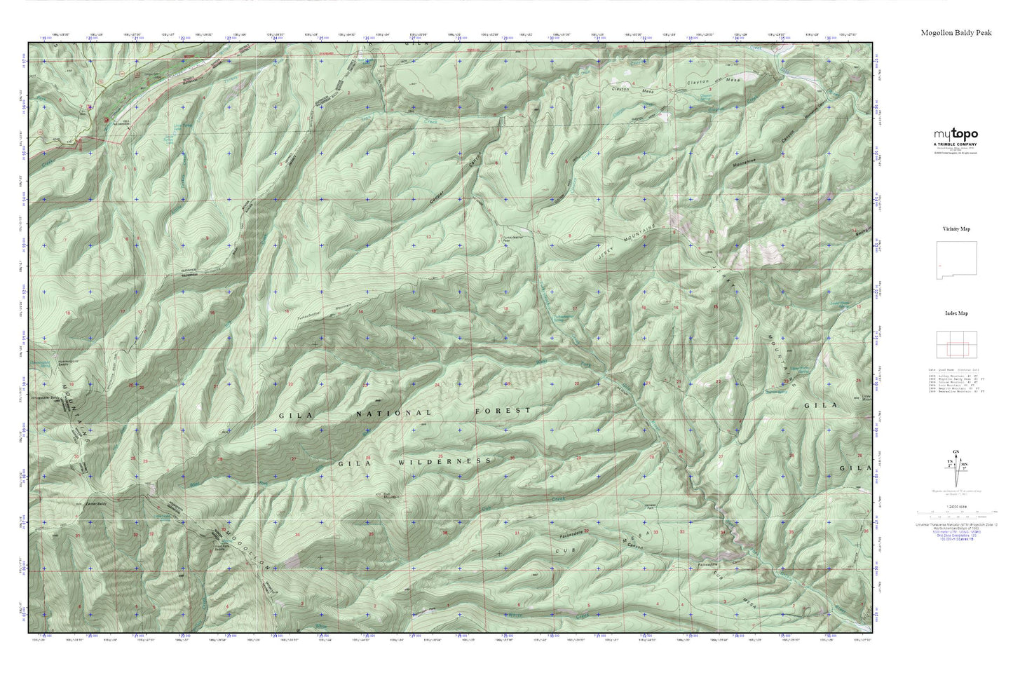
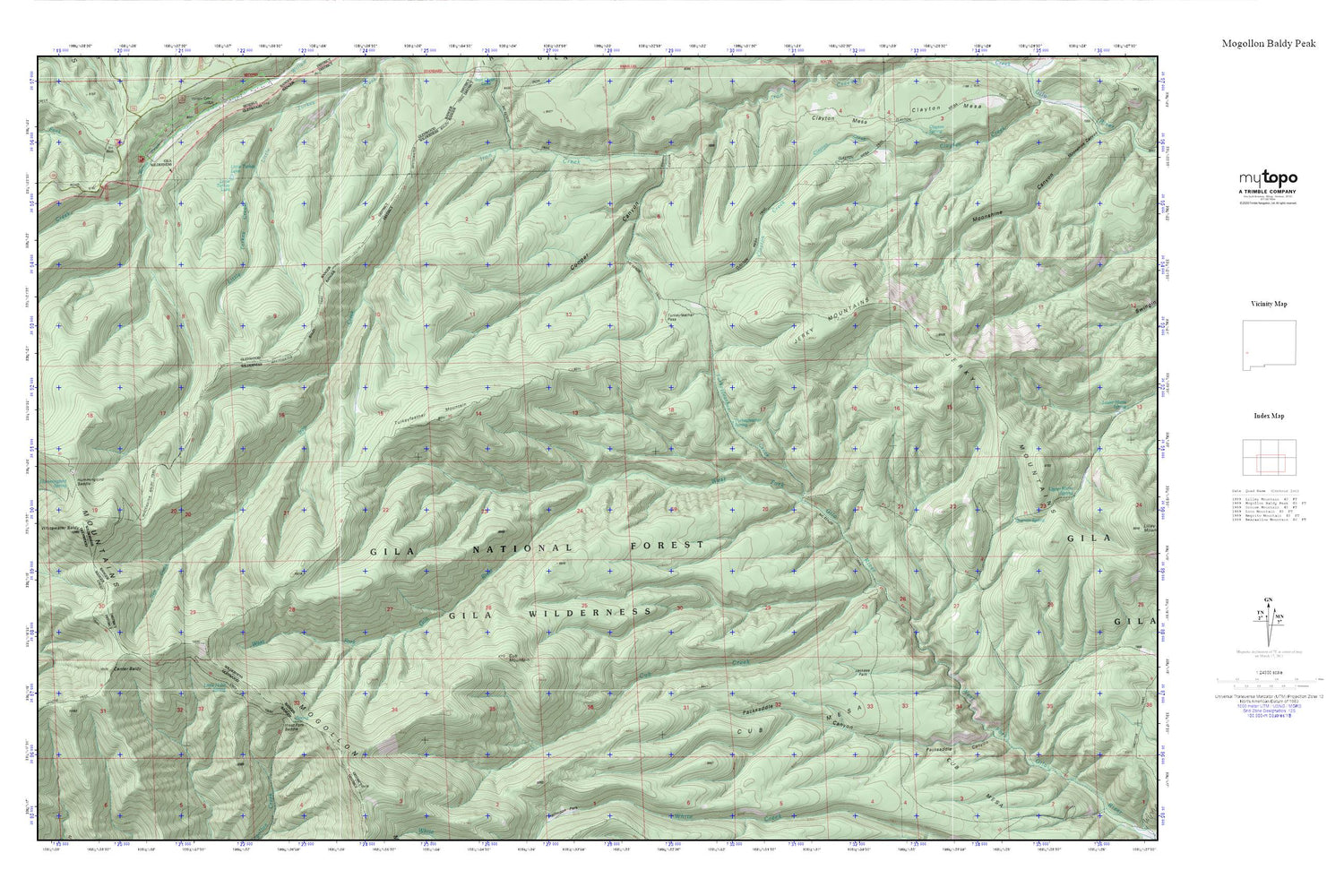
Mogollon Baldy Peak MyTopo Explorer Series Map
Couldn't load pickup availability
Topographic map of Mogollon Baldy Peak in the state of New Mexico. From the MyTopo Explorer Series.
This topo map features shaded relief and comes with UTM / MGRS and Latitude/Longitude grids.
For more than two decades, MyTopo has provided maps to the most adventurous among us.. those who love to explore our nation’s remote wilderness areas, climb our highest peaks, and trek across our vast public lands. This map is part of a curated collection of the most popular places for which MyTopo customers have designed maps. It is a “bucket list” of the most amazing places to hike, hunt, and explore.
This map contains the following named places: Center Baldy,Clayton Mesa Trail,Cooper Canyon,Crest Trail,Cub Creek,Cub Mesa,Cub Mountain,Hobo Spring,Hummingbird Saddle,Hummingbird Spring,Jackass Park,Jerky Mountains,Little Hobo Spring,Little Turkey Lake,McKenzie Trail,Packsaddle Canyon,Quentin Spring,Turkeyfeather Creek,Turkeyfeather Mountain,Turkeyfeather Pass,Turkeyfeather Spring,West Fork Corral,West Fork Saddle,Whitewater Baldy,Whitewater Baldy Trail