MyTopo
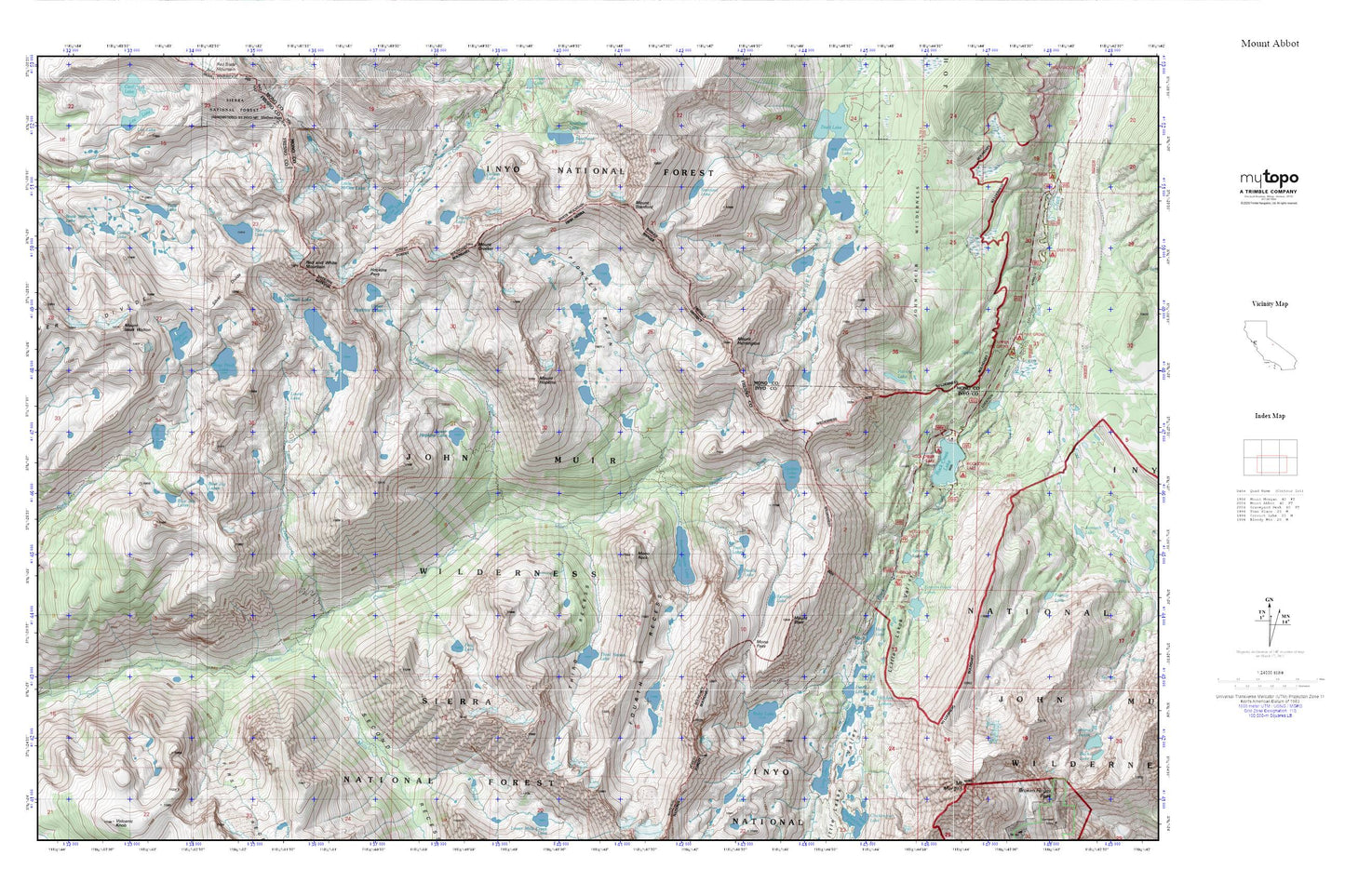
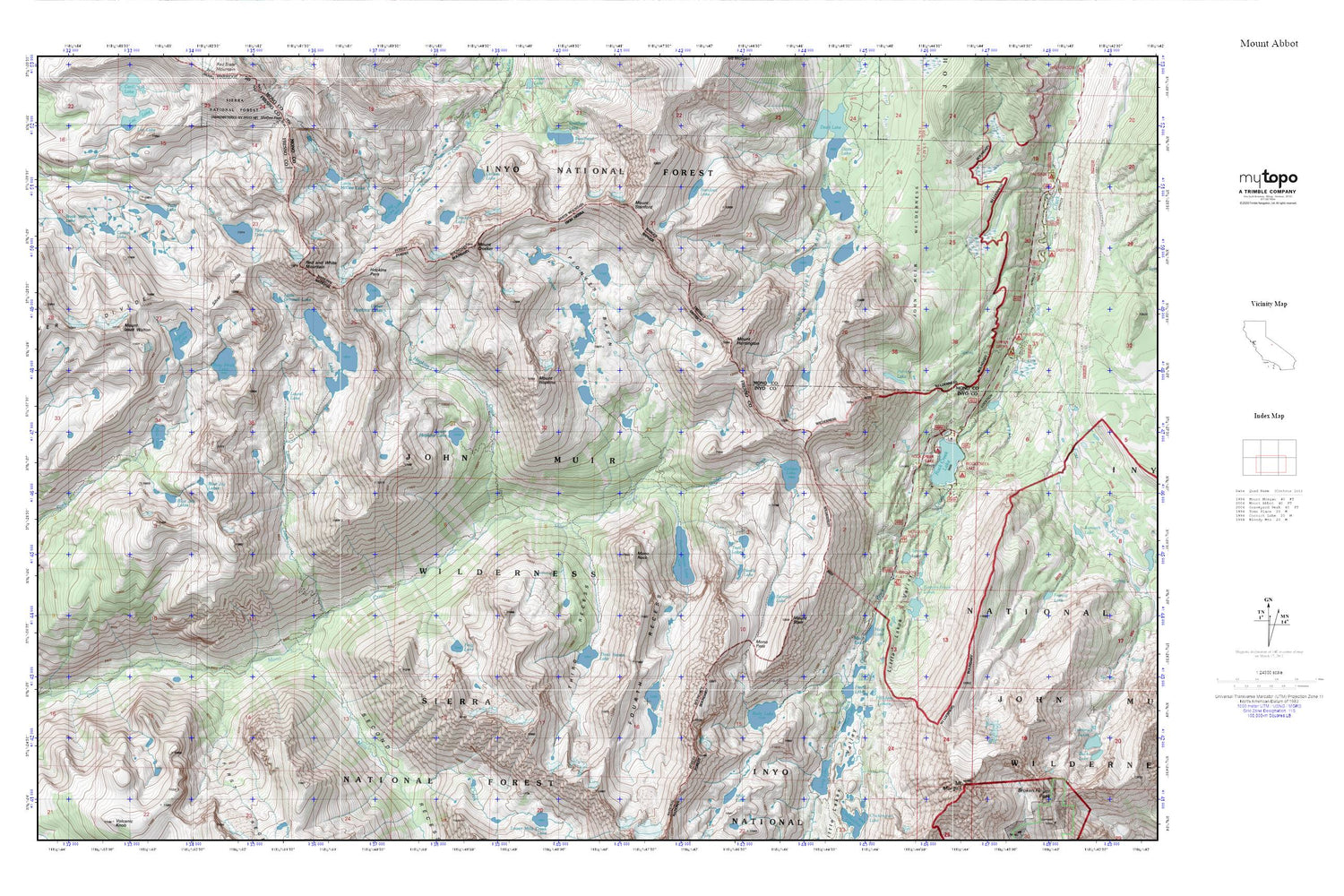
Pioneer Basin MyTopo Explorer Series Map
Couldn't load pickup availability
Topographic map of Pioneer Basin in the state of California. From the MyTopo Explorer Series.
This topo map features shaded relief and comes with UTM / MGRS and Latitude/Longitude grids.
For more than two decades, MyTopo has provided maps to the most adventurous among us.. those who love to explore our nation’s remote wilderness areas, climb our highest peaks, and trek across our vast public lands. This map is part of a curated collection of the most popular places for which MyTopo customers have designed maps. It is a “bucket list” of the most amazing places to hike, hunt, and explore.
This map contains the following named places: Big McGee Lake,Bighorn Lake,Blue Jay Lakes,Box Lake,Cotton Lake,Crocker Lake,Eastern Brook Lakes,First Recess,Fish Camp,Fourth Recess,Fourth Recess Lake,Frog Lake,Golden Creek,Golden Lake,Grinnell Lake,Heart Lake,Hidden Lakes,Hilton Creek Lakes,Hopkins Creek,Hopkins Pass,Izaak Walton Lake,Lake Inlet Campground,Lake Outlet Campground,Laurel Creek,Laurel Lake,Little Grinnell Lake,Little Lakes Valley,Little McGee Lake,Long Lake,Lower Hopkins Lake,Mack Lake,Marsh Lake,Mills Creek,Mono Pass,Mono Pass Trailhead,Mono Rock,Mosquito Flat,Mosquito Flat Campground,Mott Lake,Mount Crocker,Mount Hopkins,Mount Huntington,Mount Izaak Walton,Mount Morgan,Mount Stanford,Mount Starr,Neelle Lake,Patricia Lake,Pioneer Basin,Pioneer Basin Lakes,Pocket Meadow,Red and White Lake,Red and White Mountain,Rock Creek Boating Site,Rock Creek Lake,Rock Creek Lake Campground,Rock Creek Lake Picnic Site,Rock Creek Lake Resort,Rock Creek Pack Station,Rock Creek Picnic Site,Rosy Finch Lake,Ruby Lake,Second Recess,Serene Lake,Snow Lakes,Stanford Lake,Summit Lake,Tamarack Lakes Trailhead,Third Recess,Third Recess Lake,Trail Lakes,Tully Lake,Upper Hopkins Lakes


