MyTopo
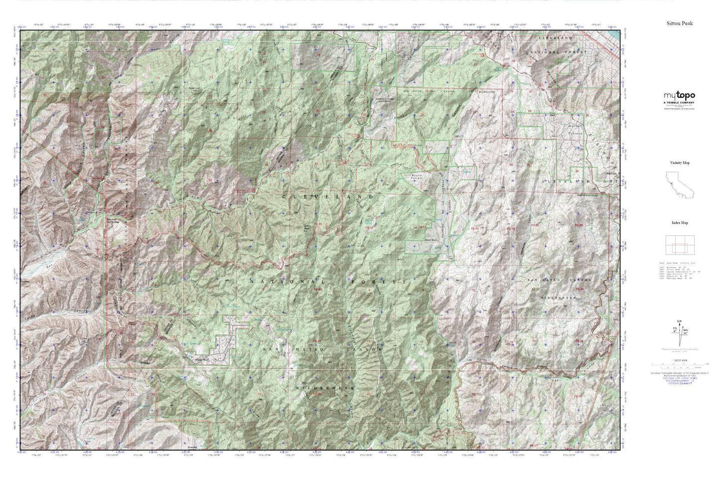
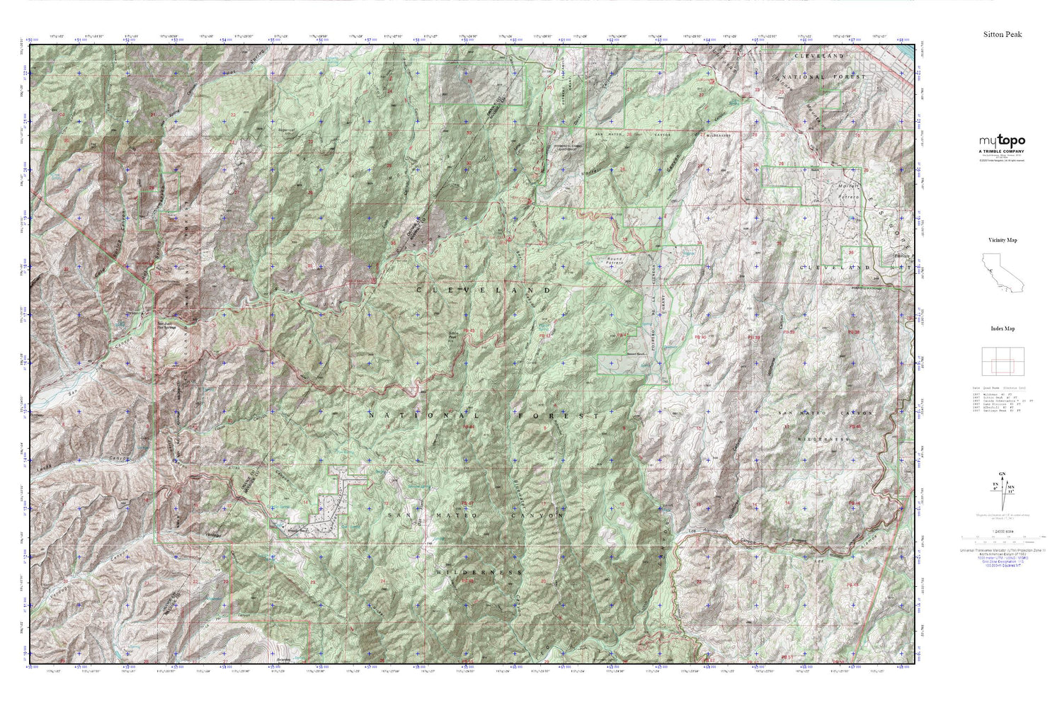
Sitton Peak MyTopo Explorer Series Map
Couldn't load pickup availability
Topographic map of Sitton Peak in the state of California. From the MyTopo Explorer Series.
This topo map features shaded relief and comes with UTM / MGRS and Latitude/Longitude grids.
For more than two decades, MyTopo has provided maps to the most adventurous among us.. those who love to explore our nation’s remote wilderness areas, climb our highest peaks, and trek across our vast public lands. This map is part of a curated collection of the most popular places for which MyTopo customers have designed maps. It is a “bucket list” of the most amazing places to hike, hunt, and explore.
This map contains the following named places: Aliso Canyon,Bear Canyon,Bluewater Truck Trail,Carrillo Spring,Chiquito Trail,Cold Spring Canyon,Crow Spring,Decker Canyon,Fox Spring,Hot Spring Canyon,Lion Canyon,Long Canyon,Los Alamos Canyon,Los Chinos Spring,Lower San Juan Campground,Morgan Trail,Morrell Canyon,Morrell Ranch,Oak Flats,Ortega Oaks Campground,Pigeon Spring,Potrero de Los Cienega,Quail Spring,Riverside County Fire Department Station 62 Rancho Carrillo,Round Potrero,San Juan Canyon,San Juan Hot Springs,San Juan Loop Trailhead,San Juan Station,San Juan Trail,San Mateo Canyon Wilderness,Serrano Spring,Sitton Peak,Sitton Peak Truck Trail,Stewart Ranch,Tenaja Falls Trailhead,Tenaja Truck Trail,United States Forest Service Cleveland National Forest Fire Station San Juan,Upper San Juan Campground,Verdugo Potrero,Verdugo Truck Trail,Wheeler Ranch,Wildhorse Canyon


