MyTopo
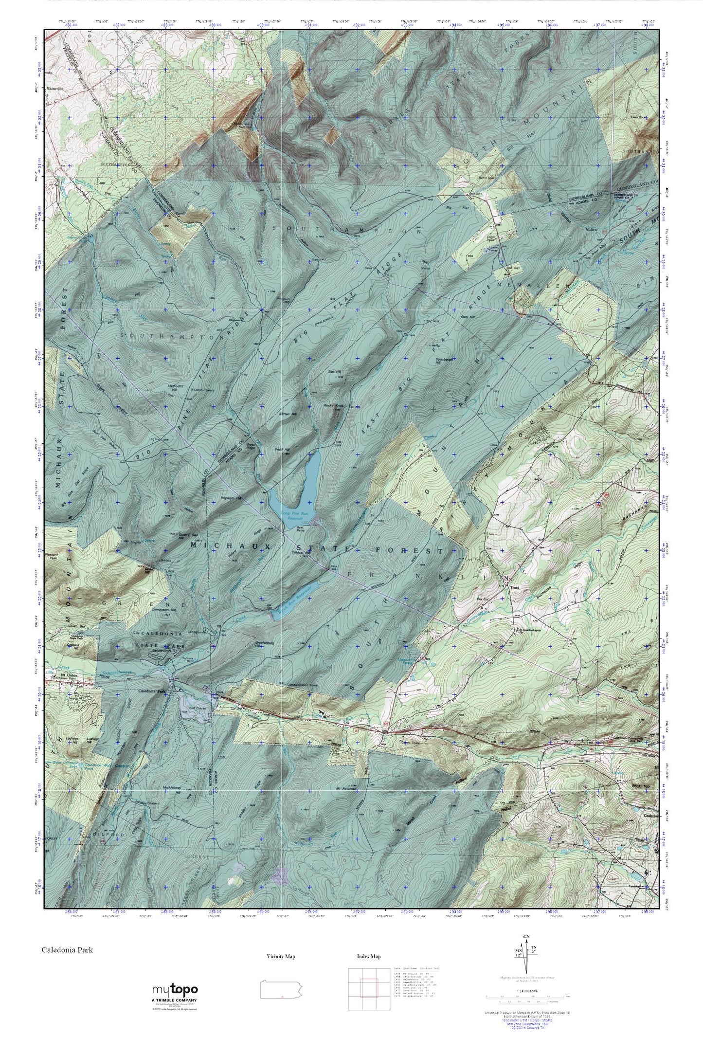
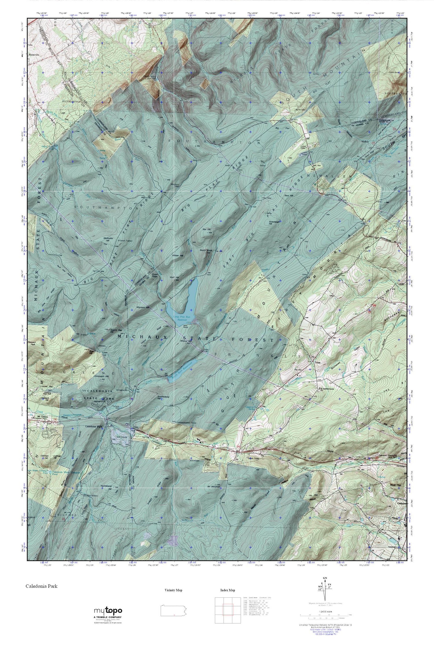
Caledonia Park MyTopo Explorer Series Map
Couldn't load pickup availability
Topographic map of Caledonia Park in the state of Pennsylvania. From the MyTopo Explorer Series.
This topo map features shaded relief and comes with UTM / MGRS and Latitude/Longitude grids.
For more than two decades, MyTopo has provided maps to the most adventurous among us.. those who love to explore our nation’s remote wilderness areas, climb our highest peaks, and trek across our vast public lands. This map is part of a curated collection of the most popular places for which MyTopo customers have designed maps. It is a “bucket list” of the most amazing places to hike, hunt, and explore.
This map contains the following named places: 17222,Big Flat,Big Flat Heliport,Big Flat Ridge,Big Flat Tower,Big Pine Flat Ridge,Birch Run,Birch Run Reservoir Dam,Brady School,Buchanan Valley Volunteer Fire Department Station 27,Caledonia Golf Course,Caledonia Park,Caledonia State Park,Carbaugh Run,Carbaugh Run Natural Area,Chambersburg Reservoir,Chinquapin Hill,Clear Run,Dark Hollow,Dark Hollow Vista,East Big Flat Ridge,Furnace Dam,Graefenburg,Graefenburg Hill,Graefenburg Post Office,Green Ridge,Hairy Spring,Hosack Run,Huckleberry Hill,Knob Run,Lippencot Spring Creek,Lippencot Trail,Long Pine Run,Long Pine Run Dam,Long Pine Run Reservoir,Marsh Creek Hollow,Methodist Hill,Mitten Hill,Mount Newman,Pennsylvania Conservation and Natural Resources District 1 Michaux Forest,Piney Mountain,Quarry Gap Hill,Quarry Hill,Raccoon Creek,Ram Hill,Reservoir Hollow,Rocky Knob,Rocky Mountain Creek,Saint Ignatius Loyola Catholic Church Cemetery,Sharps Run,Sier Hill,Stillhouse Run,Strasbaugh Hill,Strasbaugh School,Township of Franklin,Trust,White Squaw Mission,Wigwam Hill,Wildcat Hill,Wildcat Trail,Wolf Hill,Yellow Ridge


