MyTopo
Coyote Buttes MyTopo Explorer Series Map
Couldn't load pickup availability
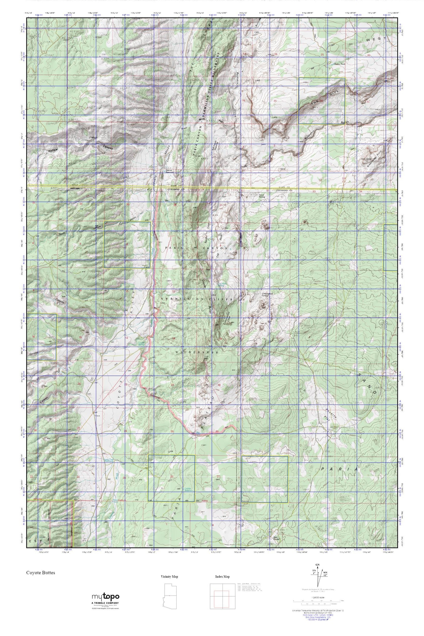
Topographic map of Coyote Buttes in the states of Arizona, Utah. From the MyTopo Explorer Series.
This topo map features shaded relief and comes with UTM / MGRS and Latitude/Longitude grids.
For more than two decades, MyTopo has provided maps to the most adventurous among us.. those who love to explore our nation’s remote wilderness areas, climb our highest peaks, and trek across our vast public lands. This map is part of a curated collection of the most popular places for which MyTopo customers have designed maps. It is a “bucket list” of the most amazing places to hike, hunt, and explore.
This map contains the following named places: Basin Canyon,Black Valley,Cocks Comb,Cottonwood Cove,Coyote Buttes,Coyote Spring,Coyote Valley,Coyote Wash,Dannys Arch,Fence Canyon,Joannes Arch,Ladder Reservoir,Larkum Canyon,Lone Tree Reservoir,Long Canyon,North Larkum Canyon,Paw Hole,Pigeon Spring,Pine Hollow Canyon,Red Canyon,Rubin Tank,Sand Cove,Sand Hills,Sandhill Ranch Airport,Steamboat Rock,Top Rock,Top Rock Spring,Wire Pass