MyTopo
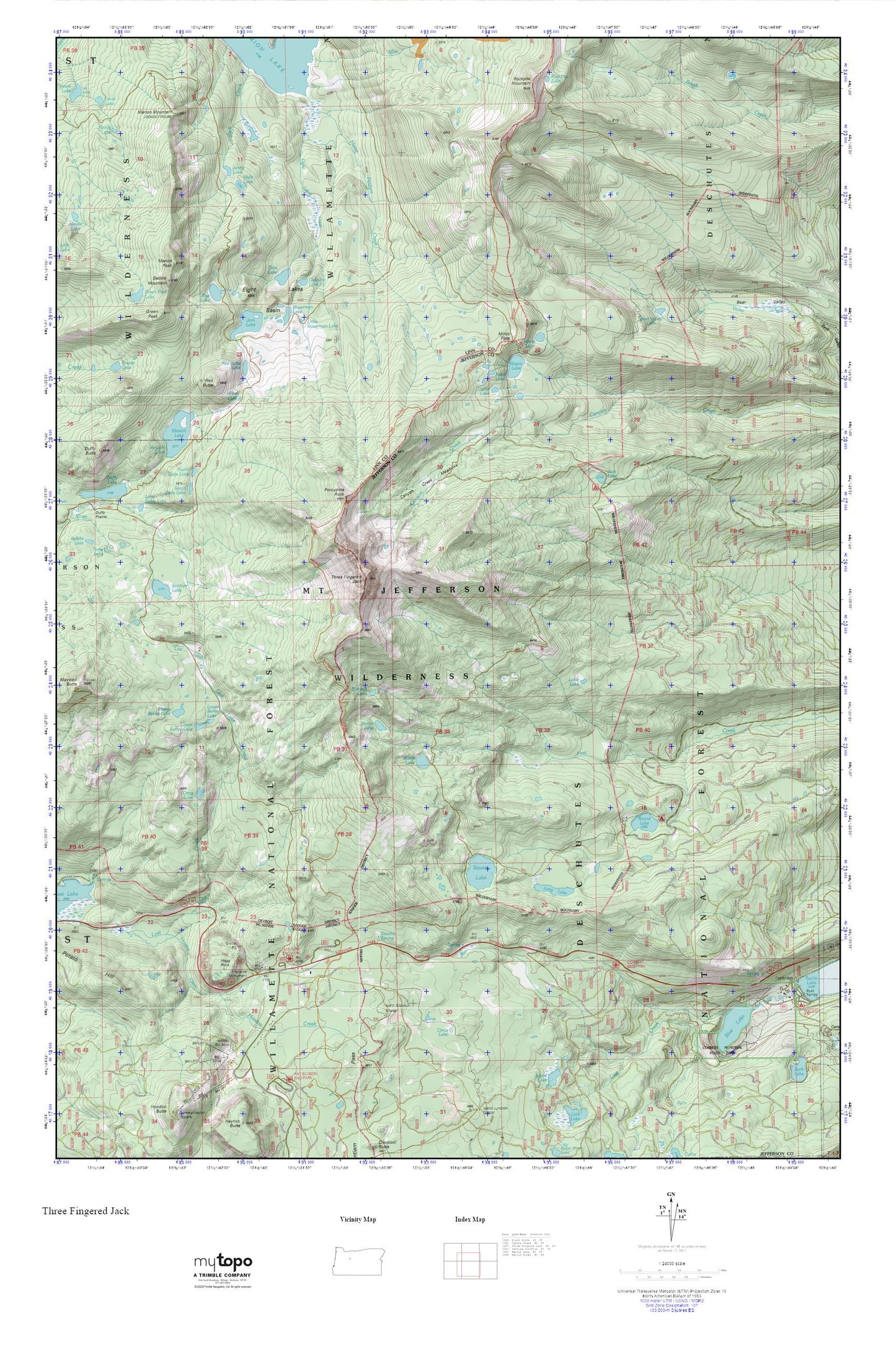
Three Fingered Jack MyTopo Explorer Series Map
Couldn't load pickup availability
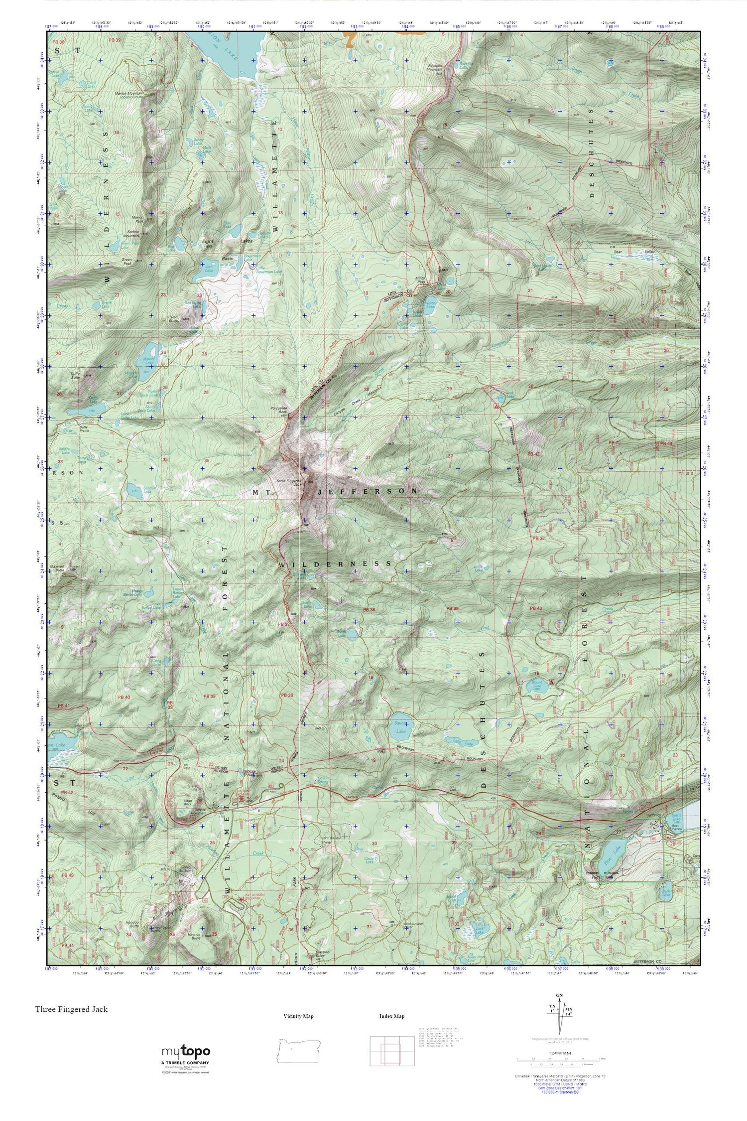
Topographic map of Three Fingered Jack in the state of Oregon. From the MyTopo Explorer Series.
This topo map features shaded relief and comes with UTM / MGRS and Latitude/Longitude grids.
For more than two decades, MyTopo has provided maps to the most adventurous among us.. those who love to explore our nation’s remote wilderness areas, climb our highest peaks, and trek across our vast public lands. This map is part of a curated collection of the most popular places for which MyTopo customers have designed maps. It is a “bucket list” of the most amazing places to hike, hunt, and explore.
This map contains the following named places: Alice Lake,Bear Valley Lake,Blue Lake,Blue Lake Resort,Blue Lake Trail,Booth Lake,Bowerman Lake,Canyon Creek Meadows,Catlin Lake,Chiquito Lake,Circle Lake,Corbett Sno-Park,Craig Lake,Douthit Spring,Eight Lakes Basin,Eight Lakes Creek,First Creek Camp,Green Peak,Green Peak Lake,Hogg Rock,Hoodoo Creek,Horse Pasture Creek,Jack Lake,Jack Lake Recreation Site,Jack Shelter,Jenny Lake,Jorn Lake,Koko Lake,Link Creek,Little Bowerman Lake,Little Duffy Lake,Little Lake,Long Lake,Lost Lake Creek,Lower Berley Lake,Marion Mountain,Marion Peak,Martin Lake,Melis Lake,Minto Lake,Minto Pass,Minto Pass Trail,Mowich Lake,North Dixie Lake,Pine Ridge Trail,Porcupine Peak,Presbyterian Organization Site,Red Butte,Red Butte Lake,Rockpile Lake,Rockpile Mountain,Round Lake,Round Lake Christian Camp,Round Lake Recreation Site,Round Lake Trail,Saddle Mountain,Santiam Lake,South Dixie Lake,Square Lake,Summit Lake,Summit Trail,Teto Lake,Three Fingered Jack,Upper Berley Lake,Wasco Lake


