MyTopo
Archuleta Creek MyTopo Explorer Series Map
Couldn't load pickup availability
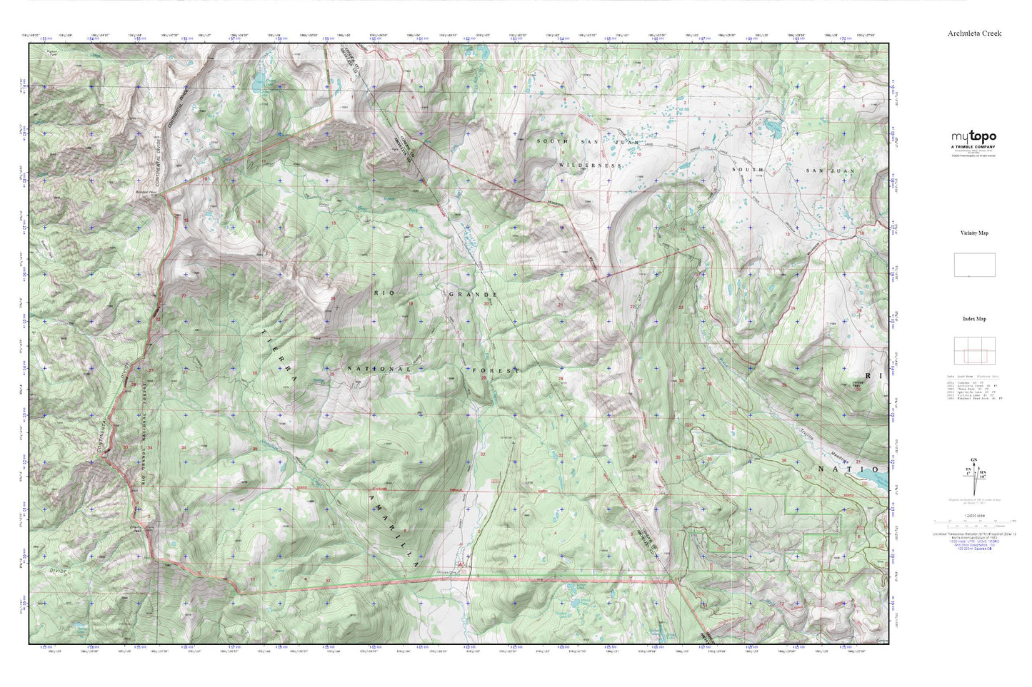
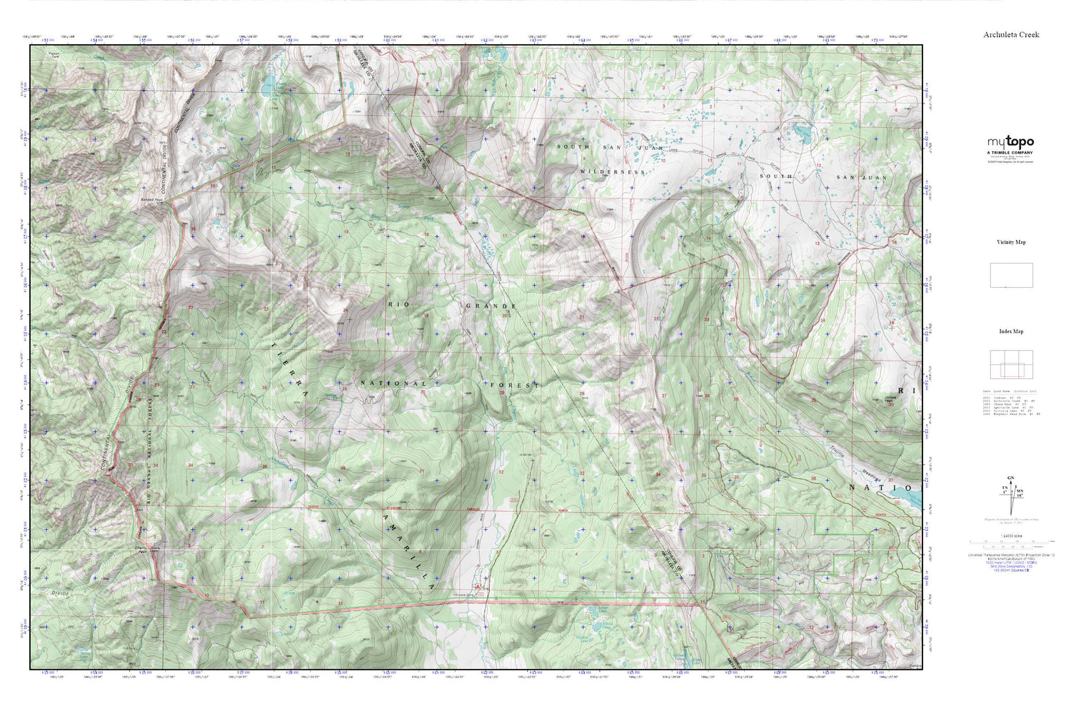
Topographic map of Archuleta Creek in the state of Colorado. From the MyTopo Explorer Series.
This topo map features shaded relief and comes with UTM / MGRS and Latitude/Longitude grids.
For more than two decades, MyTopo has provided maps to the most adventurous among us.. those who love to explore our nation’s remote wilderness areas, climb our highest peaks, and trek across our vast public lands. This map is part of a curated collection of the most popular places for which MyTopo customers have designed maps. It is a “bucket list” of the most amazing places to hike, hunt, and explore.
This map contains the following named places: 81128,Archuleta Creek,Banded Peak,Chama Peak,Cox Lakes,East Fork Rio Chama,Lower Lake,Red Lake,Sketter Park,Tierra Amarilla Grant,West Fork Rio Chama