MyTopo
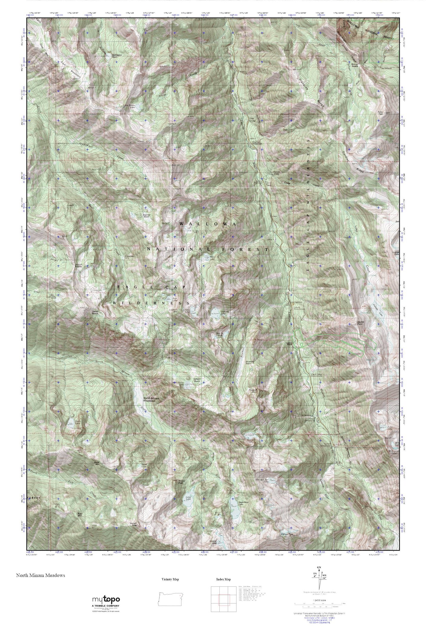
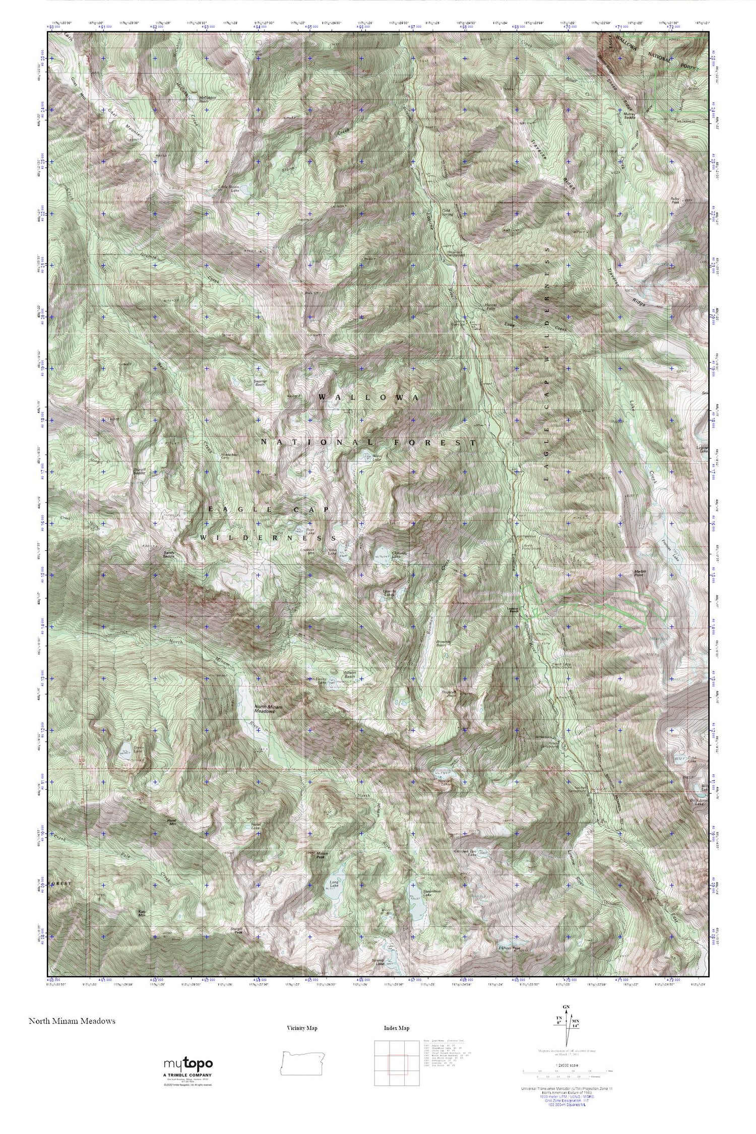
North Minam Meadows MyTopo Explorer Series Map
Couldn't load pickup availability
Topographic map of North Minam Meadows in the state of Oregon. From the MyTopo Explorer Series.
This topo map features shaded relief and comes with UTM / MGRS and Latitude/Longitude grids.
For more than two decades, MyTopo has provided maps to the most adventurous among us.. those who love to explore our nation’s remote wilderness areas, climb our highest peaks, and trek across our vast public lands. This map is part of a curated collection of the most popular places for which MyTopo customers have designed maps. It is a “bucket list” of the most amazing places to hike, hunt, and explore.
This map contains the following named places: Arrow Recreation Site,Bear Creek Trail,Bear Lake,Bowman Creek,Bowman Trail,Brownie Basin,Catched Two Lake,Chimney Lake,Cold Spring,Eagle Cap Wilderness,East Lostine River,Flagstaff Point,French Camp Recreation Site,French Creek,Goat Mountain,Green Lake,Hazel Lake,Hazel Mountain,Hobo Lake,Hunter Falls,Irondyke Recreation Site,Jackson Lake,John Henry Lake,King Forest Camp,Lake Creek,Lake Creek Forest Camp,Lapover Lake,Lapover Meadows,Lapover Ranch,Laverty Lakes,Lillyville Forest Camp,Lillyville Trailhead,Little Storm Lake,Lookout Mountain,Lostine Guard Station,Lostine Wild and Scenic River,Marble Point,Maxwell Lake,McCubbin Basin,Middle Bear Camp,Minam Peak,Miner Spring,North Minam Guard Station,North Minam Meadows,North Minam Trail,Sandy Saddle,Shady Recreation Site,Sheep Ridge,Storm Creek,Sturgil Saddle,Swamp Basin,Traverse Ridge,Turkey Flat Recreation Site,Two Pan Recreation Site,Two Pan Trailhead,Walla Walla Recreation Site,Williamson Recreation Site,Wilson Basin,Wood Lake


