MyTopo
Caney Creek Wilderness MyTopo Explorer Series Map
Couldn't load pickup availability
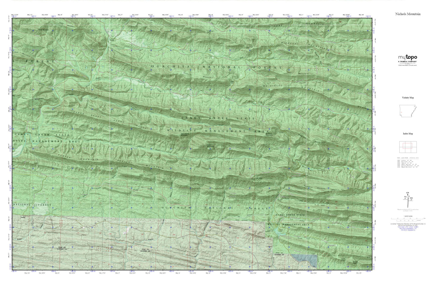
Topographic map of Caney Creek Wilderness in the state of Arkansas. From the MyTopo Explorer Series.
This topo map features shaded relief and comes with UTM / MGRS and Latitude/Longitude grids.
For more than two decades, MyTopo has provided maps to the most adventurous among us.. those who love to explore our nation’s remote wilderness areas, climb our highest peaks, and trek across our vast public lands. This map is part of a curated collection of the most popular places for which MyTopo customers have designed maps. It is a “bucket list” of the most amazing places to hike, hunt, and explore.
This map contains the following named places: Bard Springs Recreation Area,Blaylock Mountain,Buckeye Mountain,Caney Creek,Caney Creek State Wildlife Management Area,Caney Creek Wilderness,Center Cemetery,Center Church,Center School,Dicks Gap,East Hanna Mountain,East Saline Creek,Faulkner Branch,Fodderstack Mountain,Hanna Range,Hartley,Holly Branch,Holly Hill School,Katy Mountain,Lost Mountain,McKinley Mountain,Mountain View School,Nichols Mountain,North Fork Saline River,Porter Mountain,Raspberry Mountain,Shady Lake,Shady Lake Dam,Shady Lake Recreation Area,Short Creek,South Fork Saline River,Sugar Creek,Sugar Creek School,Tall Peak,Township of Faulkner,Township of Gap Springs,West Hanna Mountain