MyTopo
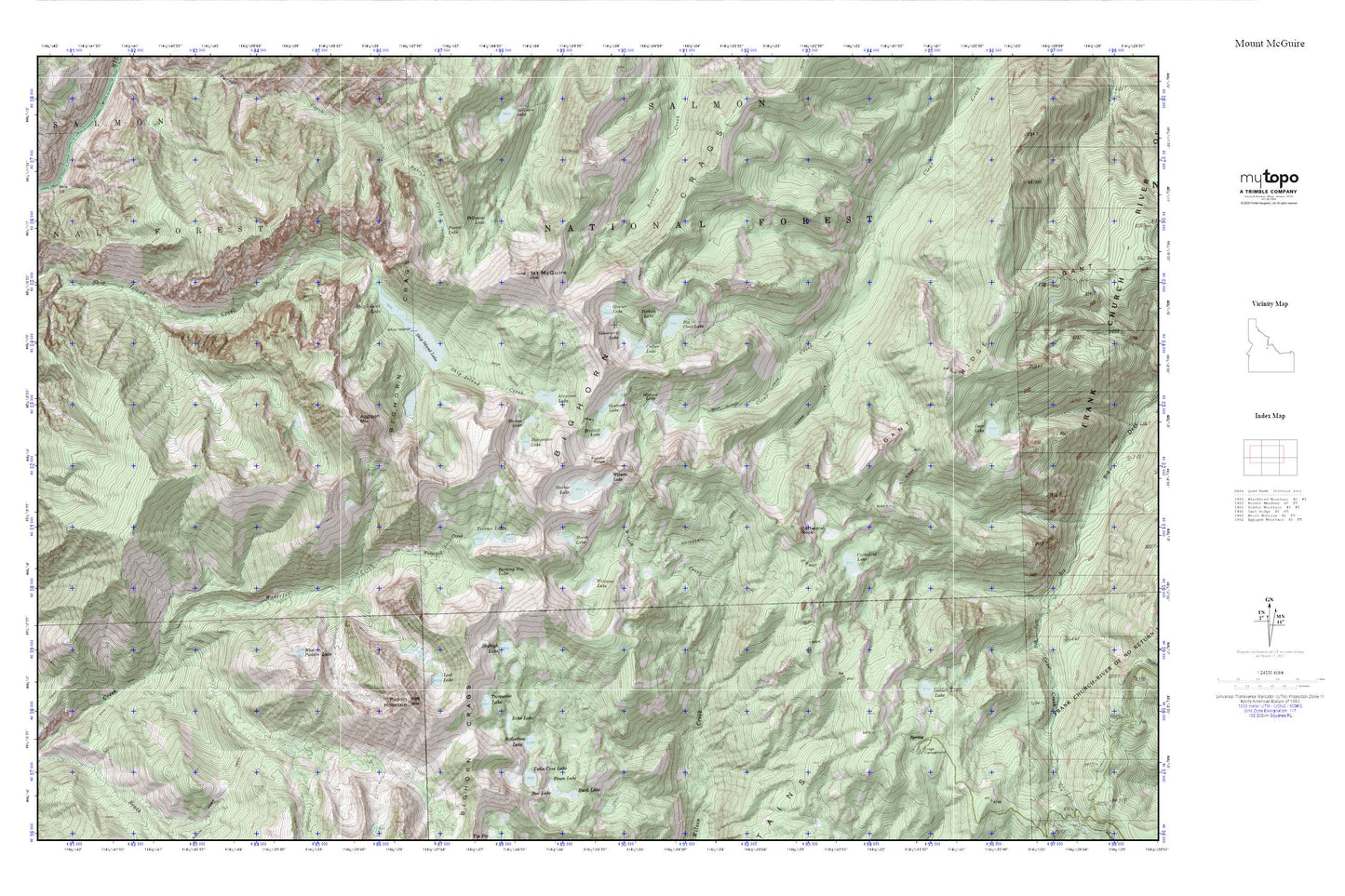
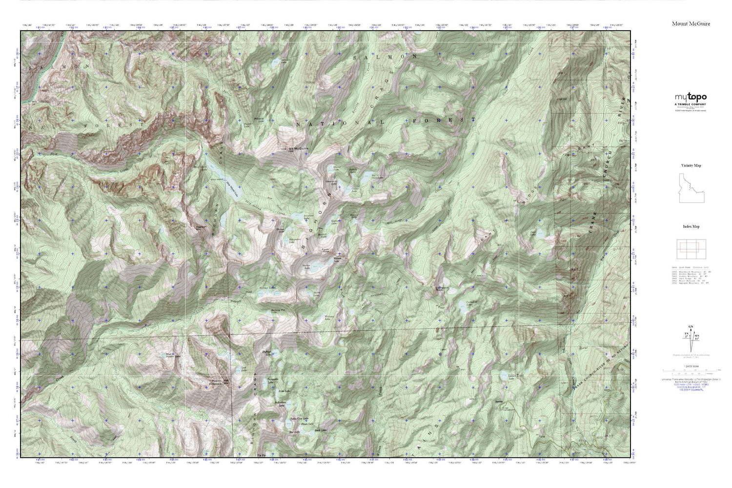
Mount McGuire MyTopo Explorer Series Map
Couldn't load pickup availability
Topographic map of Mount McGuire in the state of Idaho. From the MyTopo Explorer Series.
This topo map features shaded relief and comes with UTM / MGRS and Latitude/Longitude grids.
For more than two decades, MyTopo has provided maps to the most adventurous among us.. those who love to explore our nation’s remote wilderness areas, climb our highest peaks, and trek across our vast public lands. This map is part of a curated collection of the most popular places for which MyTopo customers have designed maps. It is a “bucket list” of the most amazing places to hike, hunt, and explore.
This map contains the following named places: Aggipah Mountain,Airplane Lake,Barking Fox Lake,Big Clear Lake,Bighorn Crags,Birdbill Lake,Cathedral Lake,Cathedral Rock,Clear Creek Trail,Crags Campground,Crater Lake,Echo Lake,Fawn Lake,Fishfin Ridge,Fishing Ridge,Gant Ridge,Gant Ridge Trail,Gentian Lake,Glacier Lake,Golden Trout Lake,Gooseneck Lake,Harbor Lake,Heart Lake,Lost Lake,Mirrow Lake,Mount McGuire,Parrott Lake,Pollywog Lake,Pothole Lake,Puddin Mountain,Reflection Lake,Sheepeater Lake,Ship Island,Ship Island Lake,Ship Island Trail,Shoban Lake,Skyhigh Lake,South Fork Trail,South Fork Waterfall Creek,Terrace Lakes,Turquoise Lake,Twin Cove Lake,Waterfall Trail,Welcome Lake,West Puddin Lake,Wilson Lake,Yellowjacket Mountains


