MyTopo
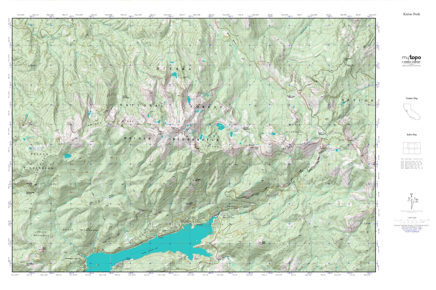
Kaiser Peak MyTopo Explorer Series Map
Couldn't load pickup availability
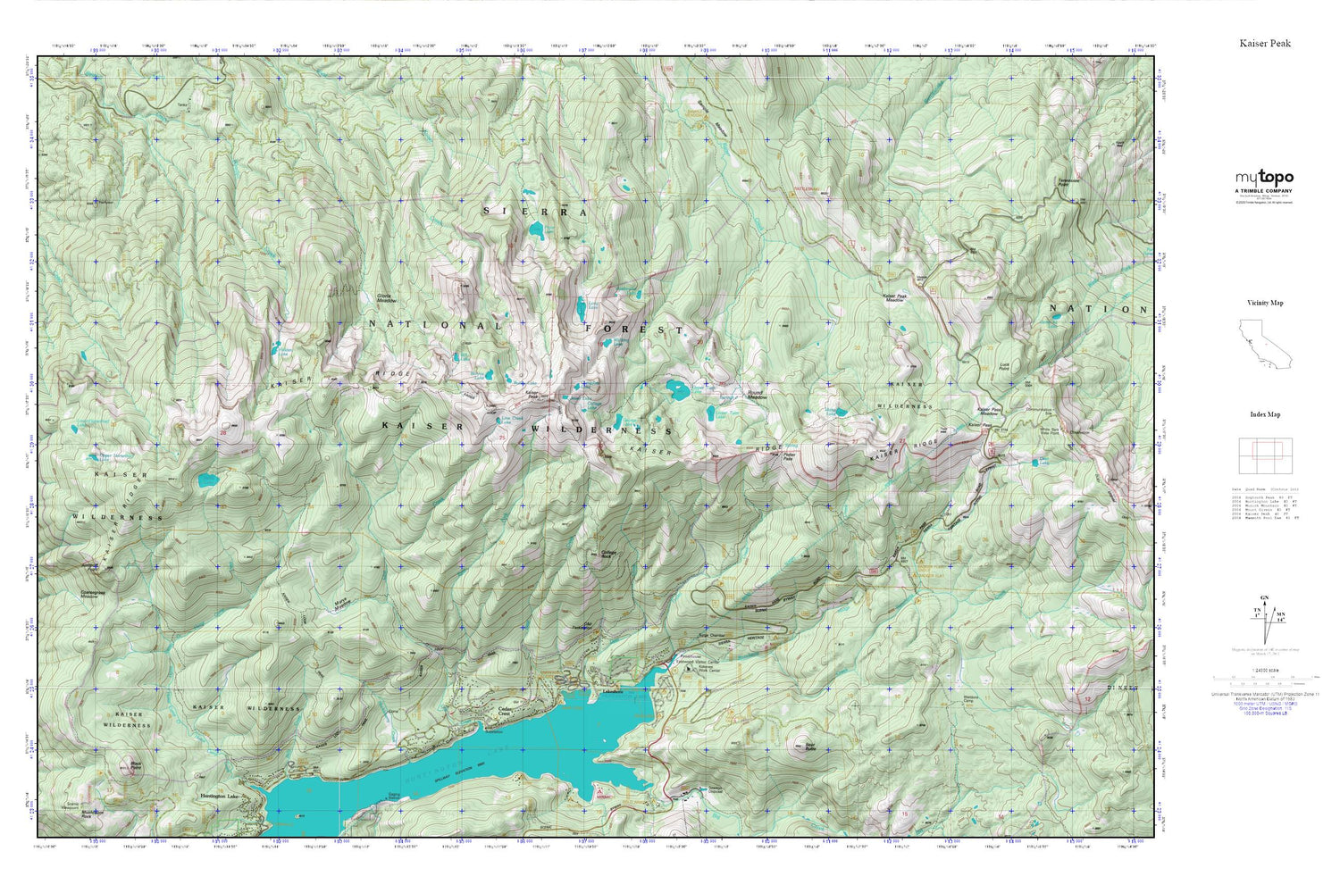
Topographic map of Kaiser Peak in the state of California. From the MyTopo Explorer Series.
This topo map features shaded relief and comes with UTM / MGRS and Latitude/Longitude grids.
For more than two decades, MyTopo has provided maps to the most adventurous among us.. those who love to explore our nation’s remote wilderness areas, climb our highest peaks, and trek across our vast public lands. This map is part of a curated collection of the most popular places for which MyTopo customers have designed maps. It is a “bucket list” of the most amazing places to hike, hunt, and explore.
This map contains the following named places: Avalanche Lake,Badger Flat,Badger Flat Campground,Badger Flat Picnic Area,Bear Butte,Bear Cove Picnic Area,Bill Lake,Black Point,Bobby Lake,Bonnie Lake,Camp Kern,Camp Sixty One D Campground,Campfire Lake,Catavee Campground,Cedar Crest,Cedar Crest Post Office,Cedar Crest Resort,Coarsegrass Meadow,College Campground,College Lake,College Rock,D and F Pack Station,Deer Creek,Deer Creek Campground,Eastwood Vista,George Lake,Gloria Meadow,Hidden Lake,Huckleberry Creek,Huntington Lake,Huntington Lake Lumber Company,Huntington Lake Volunteer Fire Department,Huntington Lake Volunteer Fire Department Station 2,Idaho Lake,Jewel Lake,Jump Off Point,Kaiser Park,Kaiser Pass,Kaiser Pass Meadow,Kaiser Peak,Kaiser Peak Meadows,Kaiser Wilderness,Kinnikinnick Campground,Kokanee Campground,Lakeshore,Lakeshore Post Office,Lakeshore Village Resort,Line Creek,Line Creek Lake,Long Lake,Lower Horsethief Lake,Lower Twin Lake,Marys Meadow,Midge Creek,Nellie Lake,Potter Creek,Potter Pass,Pryor Lake,Rancheria Campground,Rancheria Creek,Rancheria Garage,Round Meadow,Sierra National Forest,Snow Bend,Upper Horsethief Lake,Upper Twin Lake,Walling Lake,Weldons Camp


