MyTopo
Bucks Lake MyTopo Explorer Series Map
Couldn't load pickup availability
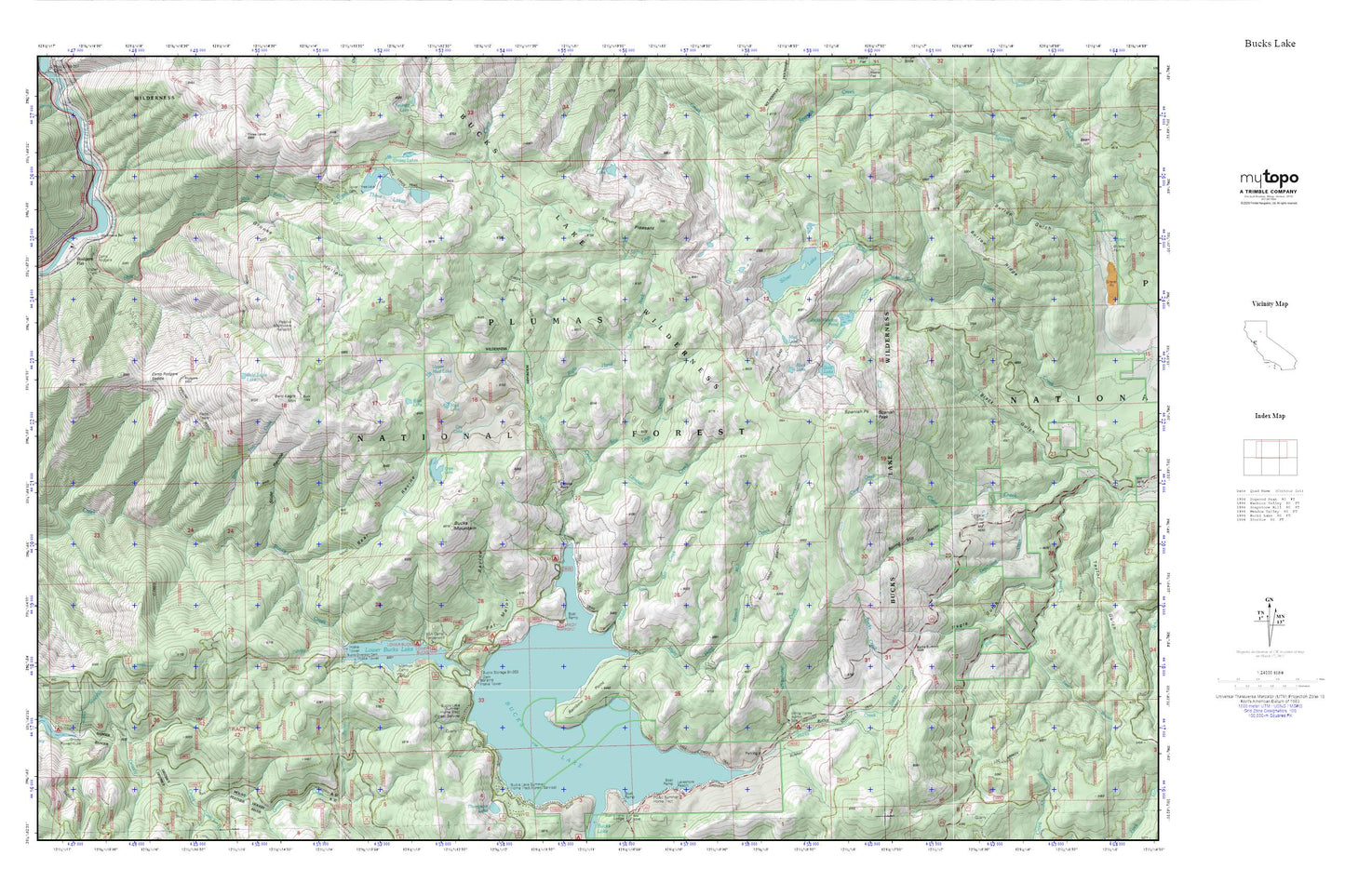
Topographic map of Bucks Lake in the state of California. From the MyTopo Explorer Series.
This topo map features shaded relief and comes with UTM / MGRS and Latitude/Longitude grids.
For more than two decades, MyTopo has provided maps to the most adventurous among us.. those who love to explore our nation’s remote wilderness areas, climb our highest peaks, and trek across our vast public lands. This map is part of a curated collection of the most popular places for which MyTopo customers have designed maps. It is a “bucket list” of the most amazing places to hike, hunt, and explore.
This map contains the following named places: Bald Eagle Lake,Bald Eagle Mountain,Bear Ravine,Blue Lake,Boring Mill Ravine,BSA Camp Timberwolf,Bucks Diversion 94-000 Dam,Bucks Lake,Bucks Lake Summer Home Tract,Bucks Lake Wilderness,Bucks Mountain,Bucks Storage 94-002 Dam,Bucks Summit,Burton Ridge,Camp Rodgers,Camp Rodgers Saddle,Camp Rogers Post Office,Cape Lake,Chucks Rock,Dry Lake,Edmanton,Gold Lake,Grassy Lakes,Grouse Hollow,Hutchins Group Campground,Jacks Meadow Creek,Jacks Meadow Pond,Lavassi Creek,Lost Lake,Lower Bucks Lake,Lower Three Lakes 94-004 Dam,Middle Fork Mill Creek,Milk Ranch Creek,Mill Creek,Mill Creek Campground,Mill Creek Trail,Mormon Trail Camp,Mount Pleasant,Mud Lake,Pat Maloy Ravine,Rainbow Point,Right Hand Branch Mill Creek,Right Hand Salt Rock,Rock Lake,Rodgers Flat,Rodgers Flat Heliport,Sandy Point Campground,Saw Logs Creek,Silver Lake,Silver Lake 274 Dam,Silver Lake Campground,Slide Ravine,Spanish Peak,Sundew Campground,Three Lakes,Three Lakes Campground,Three Lakes Trail,Three Lakes Trailhead,Upper Mud Lake,Waggle Tail,White Horse Administration Site,White Horse Campground,Whitehorse Creek,Workmans Bar


