MyTopo
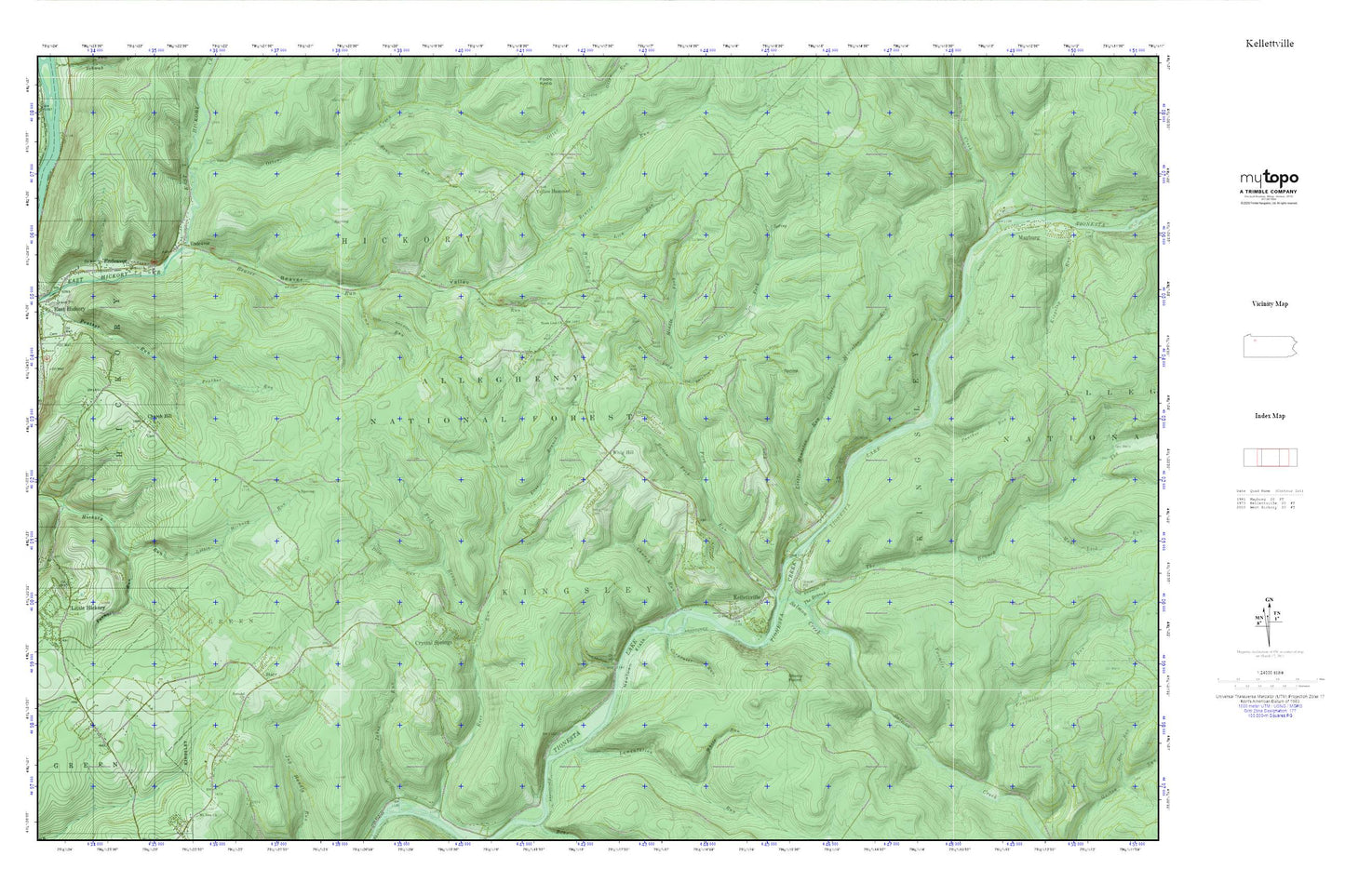
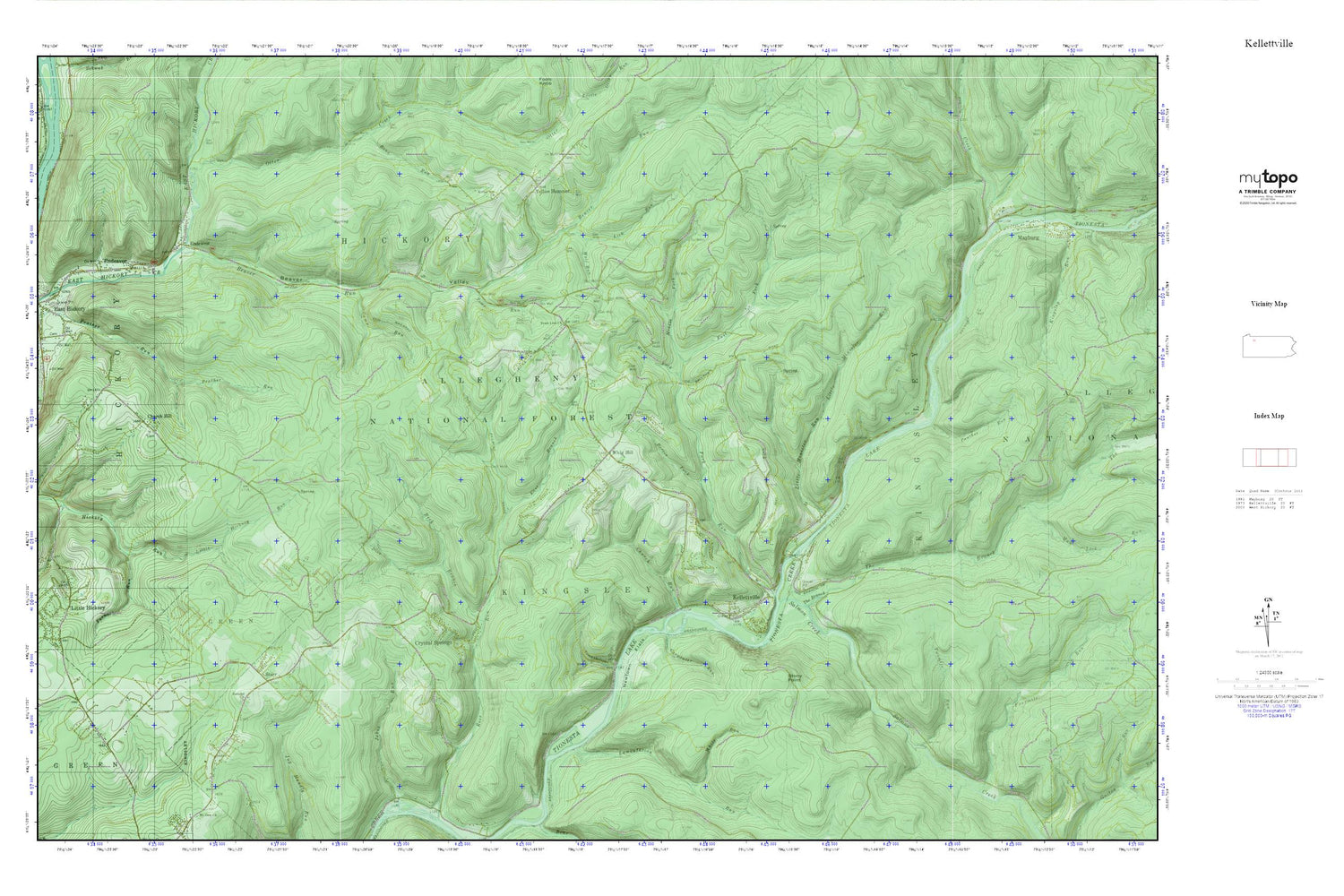
Kellettville MyTopo Explorer Series Map
Couldn't load pickup availability
Topographic map of Kellettville in the state of Pennsylvania. From the MyTopo Explorer Series.
This topo map features shaded relief and comes with UTM / MGRS and Latitude/Longitude grids.
For more than two decades, MyTopo has provided maps to the most adventurous among us.. those who love to explore our nation’s remote wilderness areas, climb our highest peaks, and trek across our vast public lands. This map is part of a curated collection of the most popular places for which MyTopo customers have designed maps. It is a “bucket list” of the most amazing places to hike, hunt, and explore.
This map contains the following named places: 16321,16322,Beaver Run,Beaver Valley,Beaver Valley School,Berlin Fork,Camp Run,Carpenter Run,CCC Camp,Church Hill,Church Hill Cemetery,Church Hill Church,Church Run,Crystal Springs,Dice Run,East Branch Ross Run,East Fork Fork Run,Endeavor,Endeavor Community Center,Endeavor Post Office,Endeavor Presbyterian Church,Forest County,Fork Run,Furnace Run,Kellettville,Kiffer Hill Cemetery,Kiffer Hill Church,Kizer School,Lamentation Run,Lick Run,Little Hickory,Little Minister Run,Middle Fork Fork Run,Mount Pleasant Church,Newtown,Newtown Flats,Otter Creek,Panther Run,Reck Branch,Salmon Creek,Starr,Starr Cemetery,Stony Point,The Branch,Toms Run,Town Hollow,Town Line Church,Townline Cemetery,Township of Hickory,Township of Kingsley,Twomile Run,West Fork Fork Run,Whig Hill,Whig Hill Cemetery,Wolf Run,Yellow Hammer,Zuendel Church