MyTopo
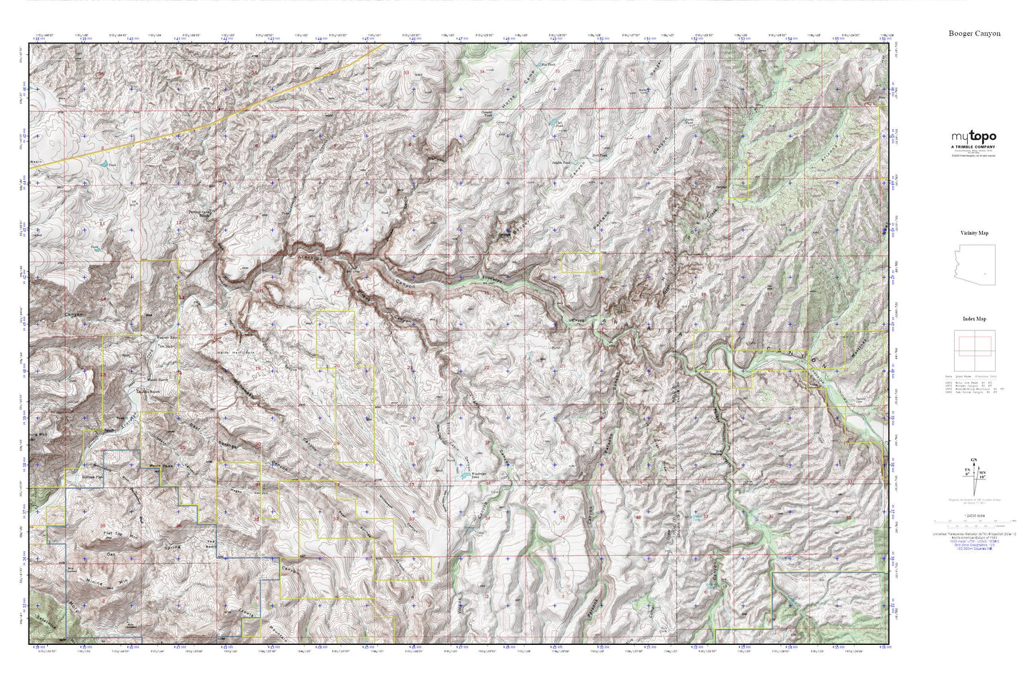
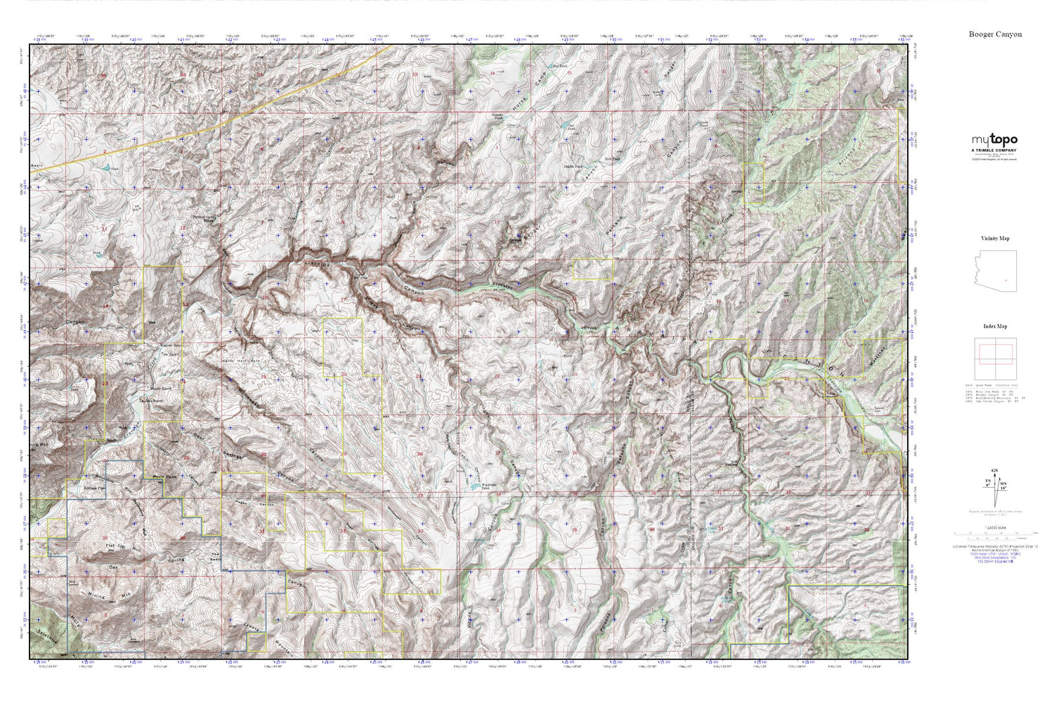
Aravaipa Canyon MyTopo Explorer Series Map
Couldn't load pickup availability
Topographic map of Aravaipa Canyon in the state of Arizona. From the MyTopo Explorer Series.
This topo map features shaded relief and comes with UTM / MGRS and Latitude/Longitude grids.
For more than two decades, MyTopo has provided maps to the most adventurous among us.. those who love to explore our nation’s remote wilderness areas, climb our highest peaks, and trek across our vast public lands. This map is part of a curated collection of the most popular places for which MyTopo customers have designed maps. It is a “bucket list” of the most amazing places to hike, hunt, and explore.
This map contains the following named places: Aravaipa Canyon Primitive Area,Aravaipa Canyon Primitive Area East Entrance,Aravaipa Canyon Wilderness,Arizona Gulch,Bear Springs Canyon,Booger Canyon,Brandenburg Mountain,Brandenburg Wash,Buzan Canyon,Cave Canyon,Cement Tank,Chet Tank,Deer Creek,Dirt Tank,Double Tank,Flat Top Mountain,Hagen Canyon,Hell Hole,Hell Hole Valley,Hells Half Acre,Hells Half Acre Canyon,Holy Joe Canyon,Horse Camp Canyon,Hortons Place,Jacks Tank,Jackson Spring,Javalina Canyon,LaJolla Ranch,Lewis Ranch,Mescal Tank,Mining Mountain,Mounterest Ranch,Oak Grove Canyon,Oak Spring Canyon,Paisano Canyon,Parsons Canyon,Periz Peak,Red Basin,Stone Cabin Canyon,The Basin,Turkey Creek,Vale District School,Virgus Canyon,Wagner Ranch,Whitewash Canyon,Wire Corral Draw,Woodrows Tank,Woods Ranch


