MyTopo
Pedernales Falls MyTopo Explorer Series Map
Couldn't load pickup availability
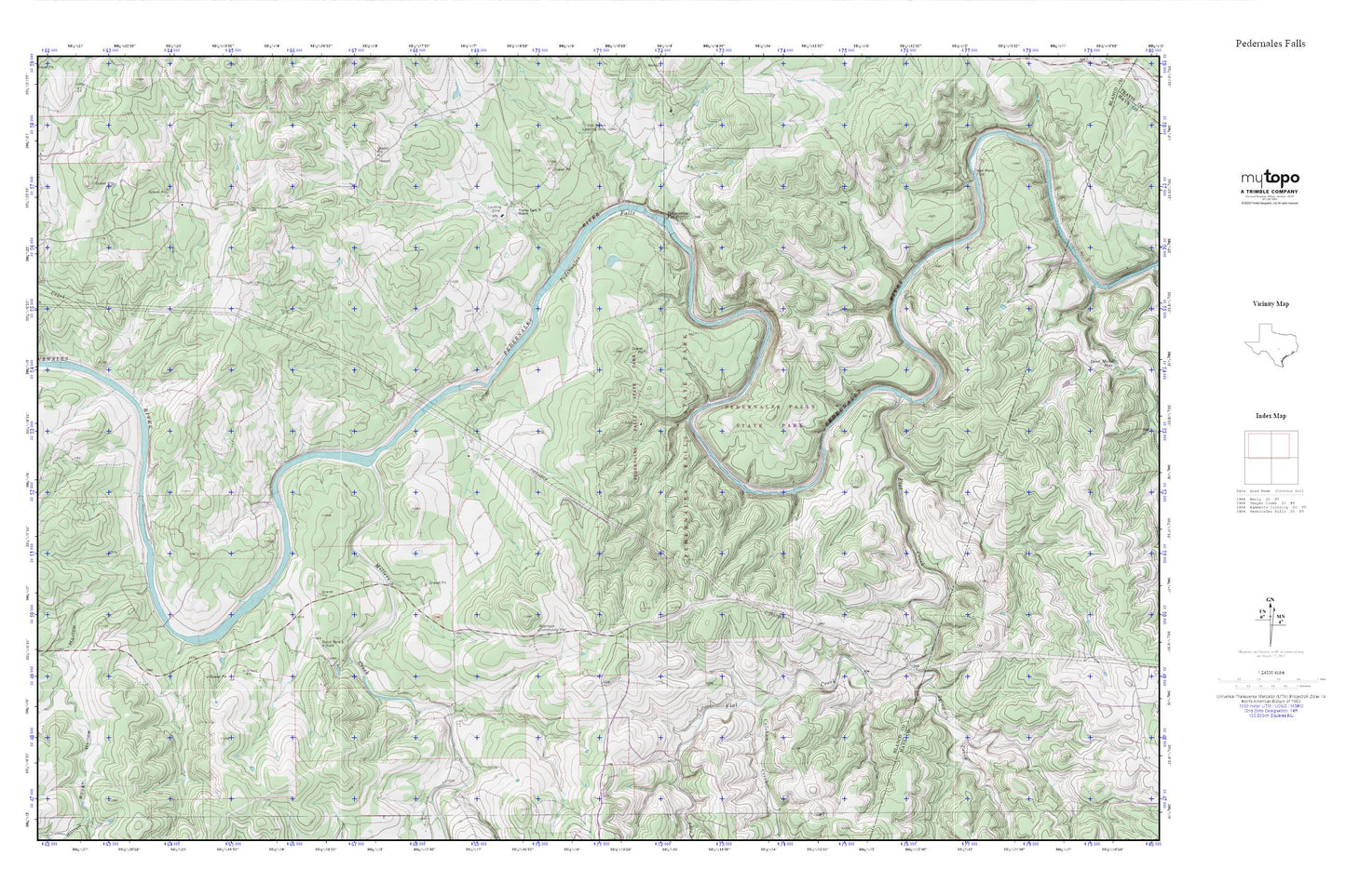
Topographic map of Pedernales Falls in the state of Texas. From the MyTopo Explorer Series.
This topo map features shaded relief and comes with UTM / MGRS and Latitude/Longitude grids.
For more than two decades, MyTopo has provided maps to the most adventurous among us.. those who love to explore our nation’s remote wilderness areas, climb our highest peaks, and trek across our vast public lands. This map is part of a curated collection of the most popular places for which MyTopo customers have designed maps. It is a “bucket list” of the most amazing places to hike, hunt, and explore.
This map contains the following named places: Brock Hollow,Calohan Creek,Cottonwood Creek,Dead Mans Ford,Duval County Library,Falls Trail,Flat Creek,Fou Mile Loop,Miller Creek,Pedernales Falls,Pedernales Falls State Park,Pedernales Falls State Park Equestrian Trails,Robinson Community Hall,Rough Hollow,Sycamore Creek,Voyles Lazy V Ranch,Wolf Mountain Trail