MyTopo
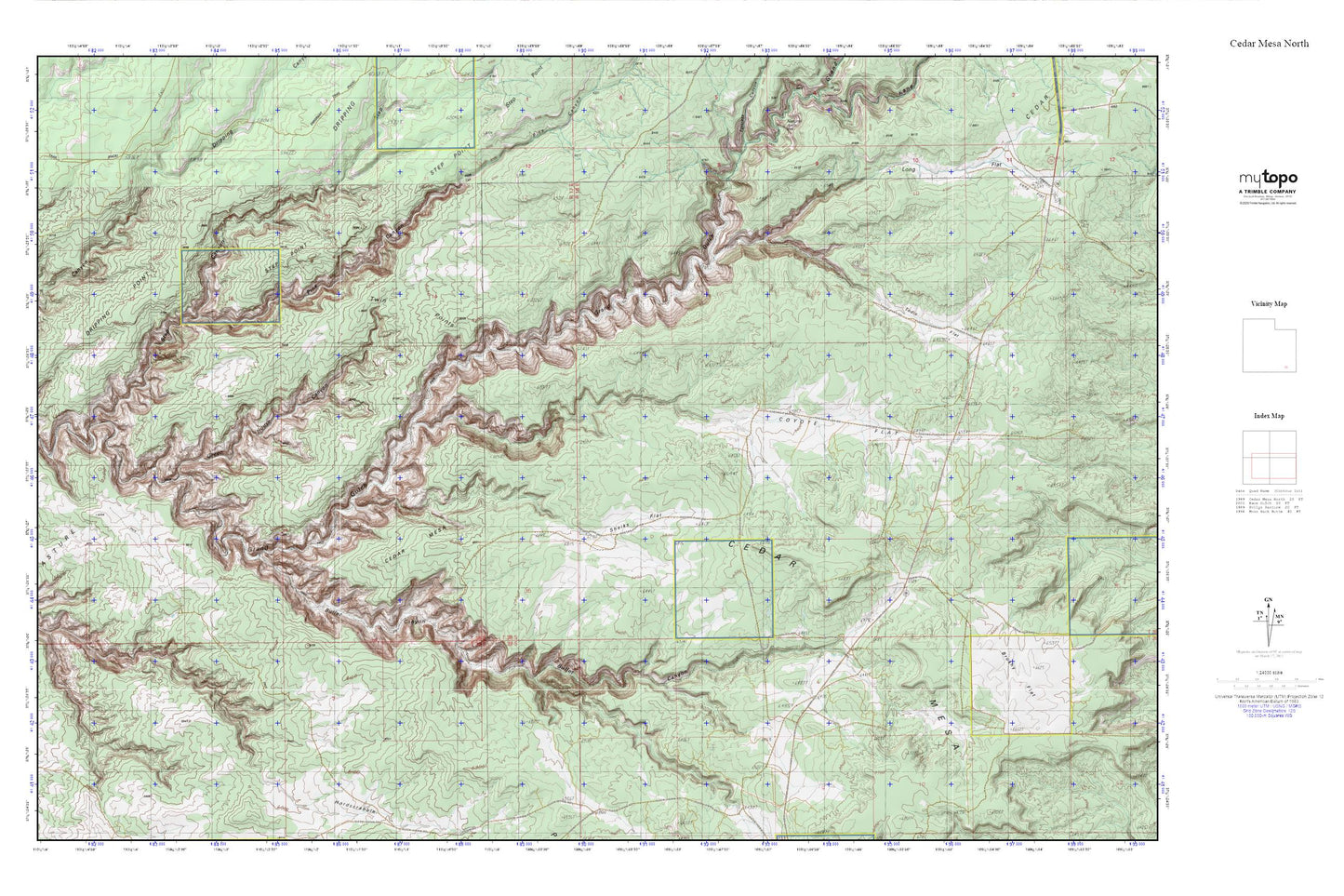
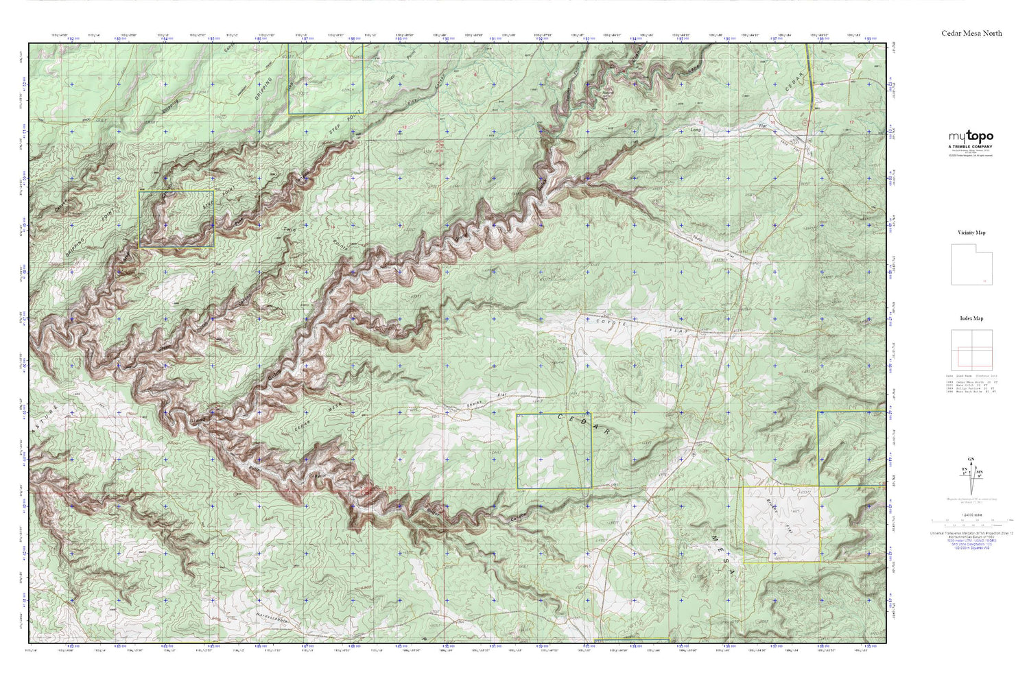
Cedar Mesa North MyTopo Explorer Series Map
Couldn't load pickup availability
Topographic map of Cedar Mesa North in the state of Utah. From the MyTopo Explorer Series.
This topo map features shaded relief and comes with UTM / MGRS and Latitude/Longitude grids.
For more than two decades, MyTopo has provided maps to the most adventurous among us.. those who love to explore our nation’s remote wilderness areas, climb our highest peaks, and trek across our vast public lands. This map is part of a curated collection of the most popular places for which MyTopo customers have designed maps. It is a “bucket list” of the most amazing places to hike, hunt, and explore.
This map contains the following named places: Bullet Canyon,Bullet Canyon Spring,Bullet Canyon Trailhead,Cow Tank,Coyote Canyon,Coyote Flat,Coyote Spring,Grand Gulch Primitive Area,Green Canyon Spring,Green Mash Spring,Jailhouse Spring,Lion Tracks Spring,Pine Canyon,Red House Cliffs,Sheiks Canyon,Sheiks Flat,Step Canyon,Step Spring,The Thumb Pour Off,Todie Canyon,Todie Flat,Todie Spring,Watershed Study Plot