MyTopo
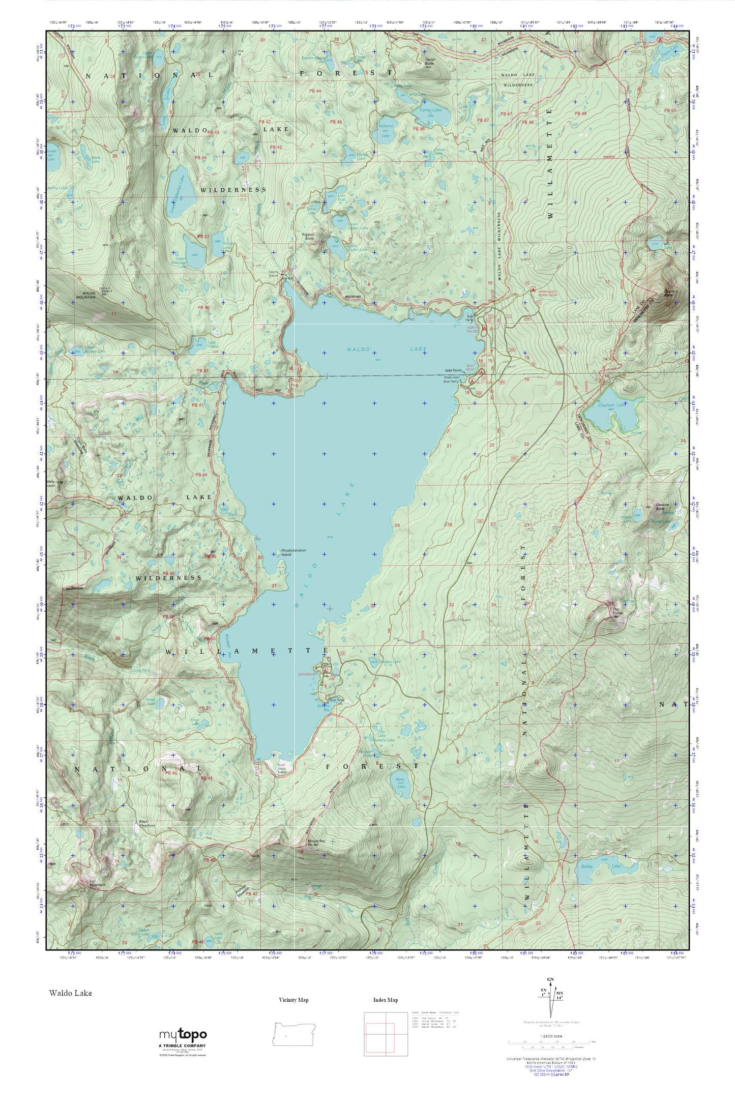
Waldo Lake MyTopo Explorer Series Map
Couldn't load pickup availability
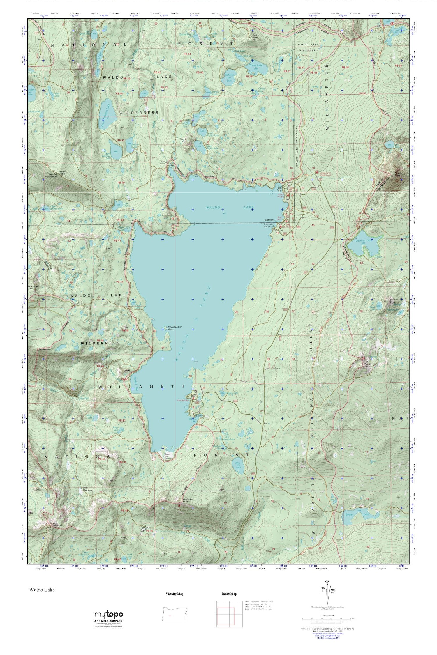
Topographic map of Waldo Lake in the state of Oregon. From the MyTopo Explorer Series.
This topo map features shaded relief and comes with UTM / MGRS and Latitude/Longitude grids.
For more than two decades, MyTopo has provided maps to the most adventurous among us.. those who love to explore our nation’s remote wilderness areas, climb our highest peaks, and trek across our vast public lands. This map is part of a curated collection of the most popular places for which MyTopo customers have designed maps. It is a “bucket list” of the most amazing places to hike, hunt, and explore.
This map contains the following named places: Betty Lake,Bingo Lake,Black Meadows,Bongo Lake,Brittany Lake,Cardiac Lake,Cervus Lake,Charlton Lake,Charlton Lake Shelter,Conim Lake,Crain Prairie Trail,Dans Lake,Eastern Brook Lake,Eddeeleo Lakes,Elbow Lake,Emerald Lake,Emma Lake,Ernie Lake,Fields Lake,Fig Lake,Green Lake,Harralson Horse Camp,Harvey Lake,Horsefly Lake,Howkum Lake,Islet Boat Ramp,Islet Point,Islet Recreation Site,King Lake,Kinglet Lake,Klovdahl Bay,Klovdahl Creek,Lake Chetlo,Lake Kiwa,Lillian Falls,Long Lake,Lower Betty Lake,Lower Eddeeleo Lake,Lower Rigdon Lake,Mickey Lake,Mount Ray,Nettie Creek,North Torrey Lake,North Waldo Boat Ramp,North Waldo Recreation Site,Photo Lake,Rhododendron Island Recreation Site,Rigdon Butte,Round Lake,Sapphire Lake,Shadow Bay,Shadow Bay Campground Boat Ramp,Shadow Bay Recreation Site,Shadow Lake,South Waldo Shelter,Spirit Lake,Sump Lake,Taylor Butte,The Twins,Tiny Lake,Torrey Lake,Trio Lake Number 1,Trio Lake Number 2,Trio Lake Number 3,Twin Peaks Trail,Upper Eddeeleo Lake,Upper Rigdon Lake,Wahanna Lake,Waldo Lake,Waldo Lake Trail,Waldo Lake Wilderness,Whig Lake,Winchester Trail,Zircon Lake


