MyTopo
Waterman Mtn MyTopo Explorer Series Map
Couldn't load pickup availability
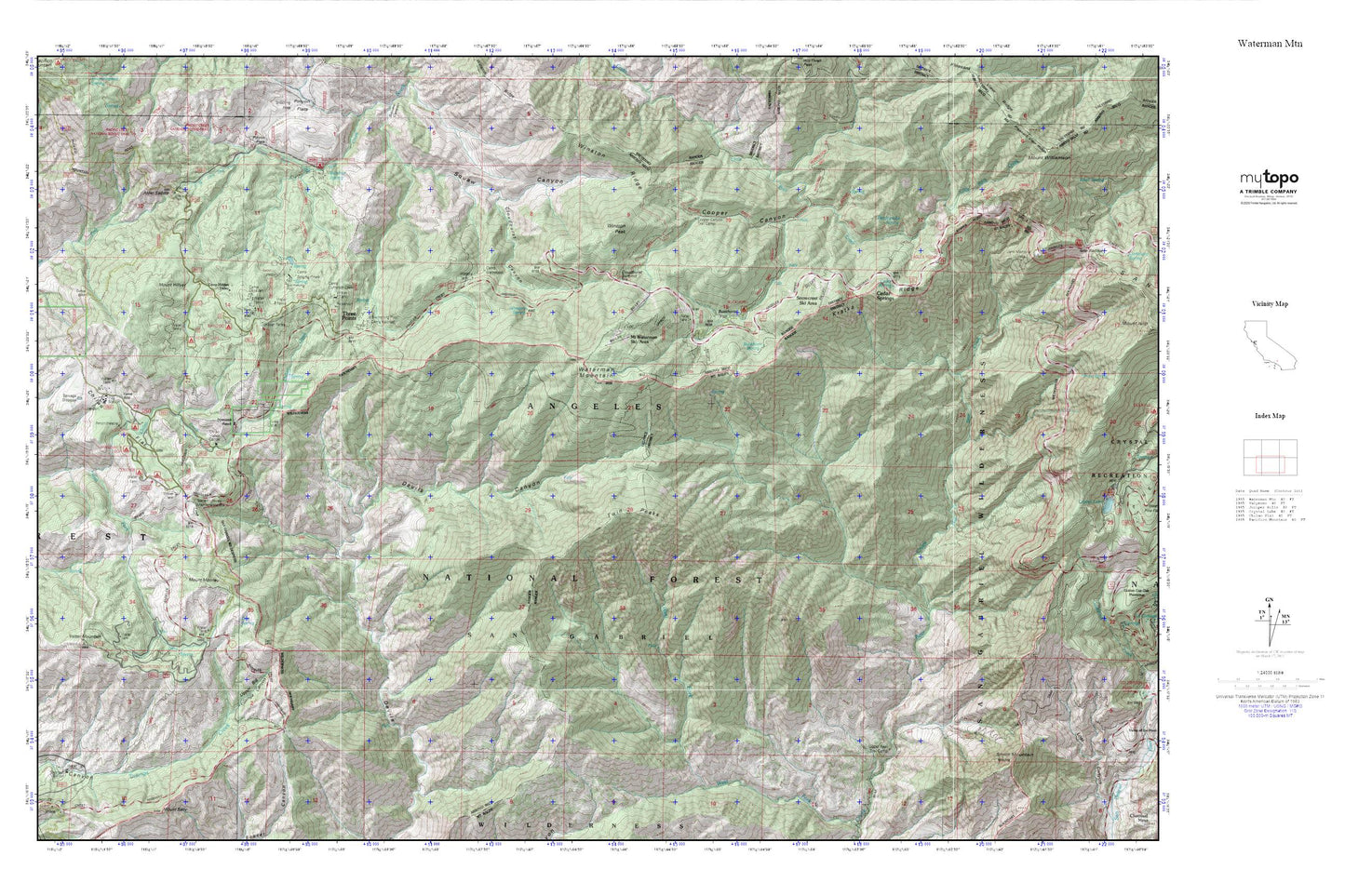
Topographic map of Waterman Mtn in the state of California. From the MyTopo Explorer Series.
This topo map features shaded relief and comes with UTM / MGRS and Latitude/Longitude grids.
For more than two decades, MyTopo has provided maps to the most adventurous among us.. those who love to explore our nation’s remote wilderness areas, climb our highest peaks, and trek across our vast public lands. This map is part of a curated collection of the most popular places for which MyTopo customers have designed maps. It is a “bucket list” of the most amazing places to hike, hunt, and explore.
This map contains the following named places: 91702,Alder Saddle,Bandido Campground,Bear Creek Trail,Buckhorn Flat,Buckhorn Guard Station,Buckhorn Spring,Camp Christian,Camp Cumorah Crest,Camp Glenwood,Camp Hidden Valley,Camp Pajarito,Camp Rosenita,Camp Singing Pines,Camp Valcrest,Cedar Spring,Cedar Springs,Charlton Flat,Charlton Flats Picnic Grounds,Charlton Station,Chilao Campground,Chilao Creek,Chilao Flat,Chilao Station,Chilao Visitors Center,Cloudburst Canyon,Cloudburst Summit,Conservation Camp Thirtyseven,Cooper Canyon,Cooper Canyon Trail Camp,Doe Spring,Eagles Roost Picnic Ground,Horse Flats,Horse Flats Campground,Kratka Ridge,Kratka Ridge Ski Area,Louies Cabin,Mount Hillyer,Mount Mooney,Mount Waterman Ski Area,Newcomb Ranch,Old Camp,Pasadena Camp,Rattlesnake Spring,Rattlesnake Trail,Ridge Crest Picnic Ground,San Gabriel Mountains National Monument,San Gabriel Wilderness,Silver Moccasin Trail,Smith Mountain,Sulpher Springs Campground,Sulphur Spring,Three Points,Transverse Ranges,Twin Peaks,Upper Bear Trail Camp,Vetter Mountain,Vista Picnic Ground,Waterman Mountain,Winston Peak,Winston Ridge,Winston Spring