MyTopo
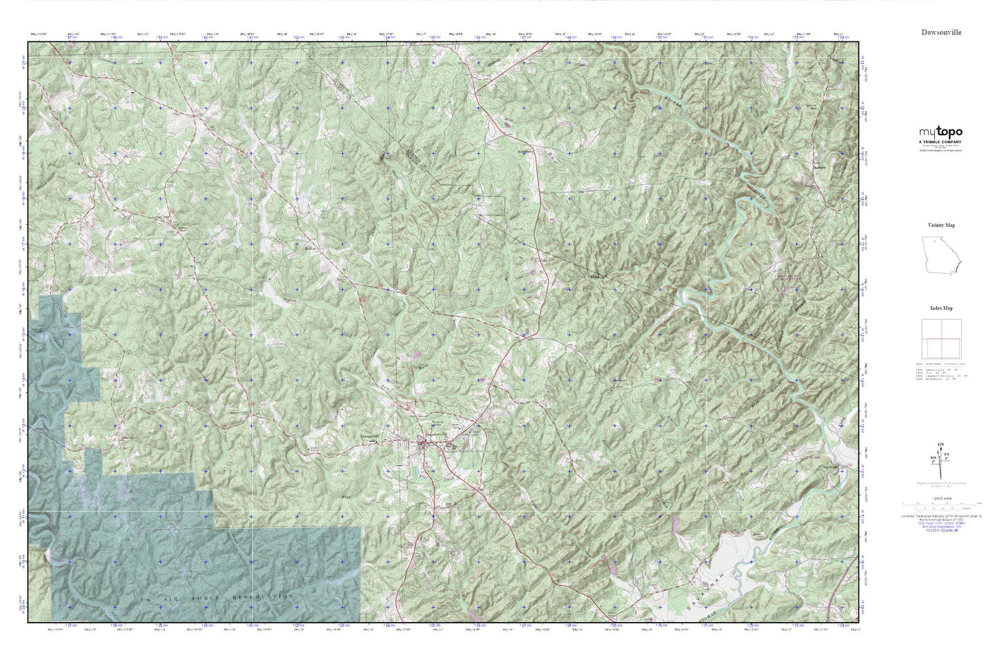
Dawsonville MyTopo Explorer Series Map
Couldn't load pickup availability
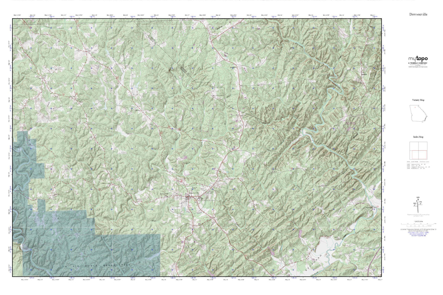
Topographic map of Dawsonville in the state of Georgia. From the MyTopo Explorer Series.
This topo map features shaded relief and comes with UTM / MGRS and Latitude/Longitude grids.
For more than two decades, MyTopo has provided maps to the most adventurous among us.. those who love to explore our nation’s remote wilderness areas, climb our highest peaks, and trek across our vast public lands. This map is part of a curated collection of the most popular places for which MyTopo customers have designed maps. It is a “bucket list” of the most amazing places to hike, hunt, and explore.
This map contains the following named places: 30534,Battle Branch Mine,Bethel Church,Betz Mine,Blackwell Shaft,Brice Lake,Burt Creek,Burt Lake,Burtsboro,Calhoun Creek,Camp Creek,Castleberry Bridge,Church of God,City of Dawsonville,Clear Creek,Dawson County,Dawson County Courthouse,Dawson County Crossroads School,Dawson County Detention Center,Dawson County Elementary School,Dawson County Fire Department Station 1,Dawson County High School,Dawson County Middle School,Dawson County Sheriff's Office,Dawsonville,Dawsonville Church of God,Dawsonville Post Office,Elliott Field,Etowah,Etowah Mine,Etowah River Watershed Dam Number 13,Etowah River Watershed Dam Number 22,Etowah River Watershed Dam Number 23,Etowah River Watershed Dam Number 24,Etowah River Watershed Structure Number 12 Dam,Flat Creek,Gayden Shaft,Girl Scout Camp Echo Lake,Gold Hill Mine,Head Lake,Holly Creek,Hutcheson Mill,Juno,McKee,McKees Chapel,Overstreet Lake,Pigeon Creek,Pine Grove Montessori School,Pleasant Grove Church,Pollard Tunnel,Proctor Creek,Reece Lake,Robinson Elementary School,Rogers Shaft,Russell Creek,Snow Creek,Sunset Hills Lake,Sunset Hills Lake Dam,Sweetwater Church,Sweetwater Creek


