MyTopo
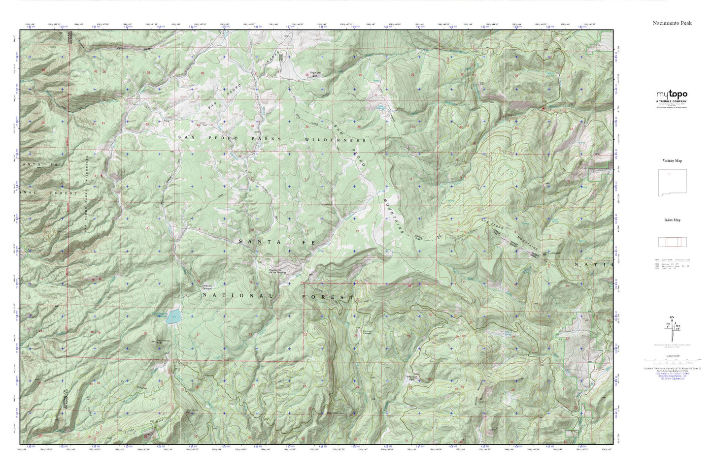
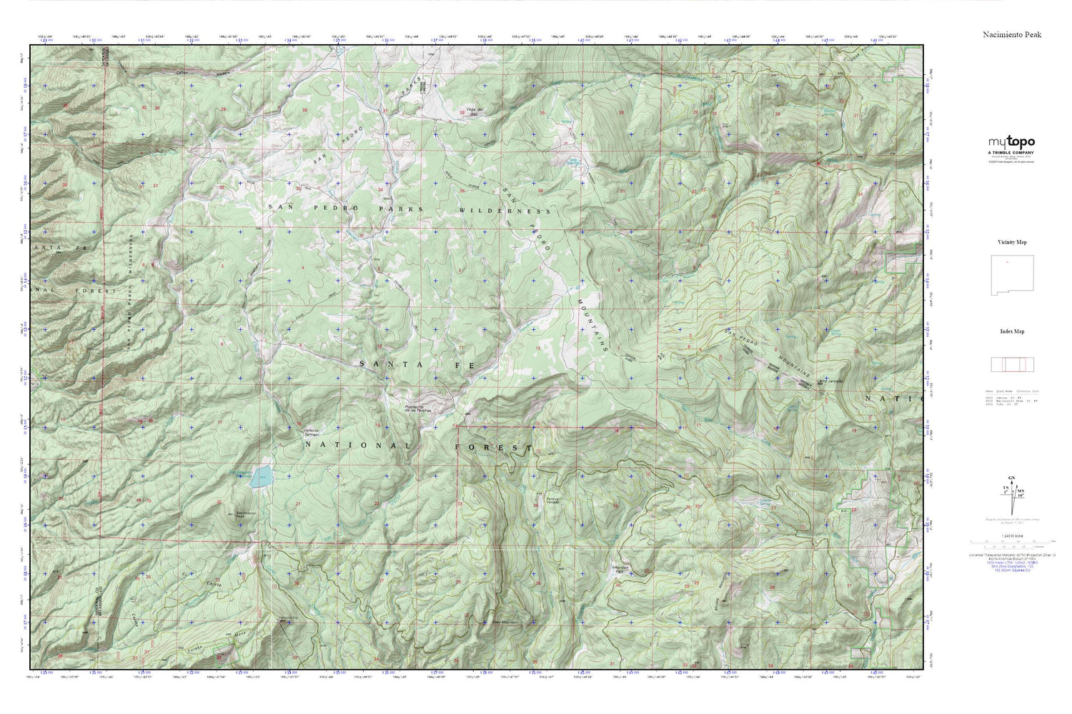
Nacimiento Peak MyTopo Explorer Series Map
Couldn't load pickup availability
Topographic map of Nacimiento Peak in the state of New Mexico. From the MyTopo Explorer Series.
This topo map features shaded relief and comes with UTM / MGRS and Latitude/Longitude grids.
For more than two decades, MyTopo has provided maps to the most adventurous among us.. those who love to explore our nation’s remote wilderness areas, climb our highest peaks, and trek across our vast public lands. This map is part of a curated collection of the most popular places for which MyTopo customers have designed maps. It is a “bucket list” of the most amazing places to hike, hunt, and explore.
This map contains the following named places: American Park,Camp Zia,Cerro Jarocito,Cerro Spring,Clear Creek Trail,Cuba Ditch,Deer Mountain,El Cajete,Eureka Mesa,Highline Trail,Kit Carson Boy Scout Camp,Los Pinos Trail,Luterio Spring,Mining Mountain,Nacimiento Campground,Nacimiento Peak,Palomas Trail,Parque Venado,Penas Negras Trail,Perchas Trail,Puertecito de las Perchas,Redonda Trail,Rio Puerco Campground,Rito Anastacio,Rito de las Perchas,Rito Redondo,Rito Resumidero,San Gregorio Reservoir,San Gregorio Reservoir Dam,San Pedro Mountains,San Pedro Parks,San Pedro Parks Wilderness,Santa Fe National Forest,Vallecito Damian,Vega Redonda


