MyTopo
Touch-Me-Not Mountain MyTopo Explorer Series Map
Couldn't load pickup availability
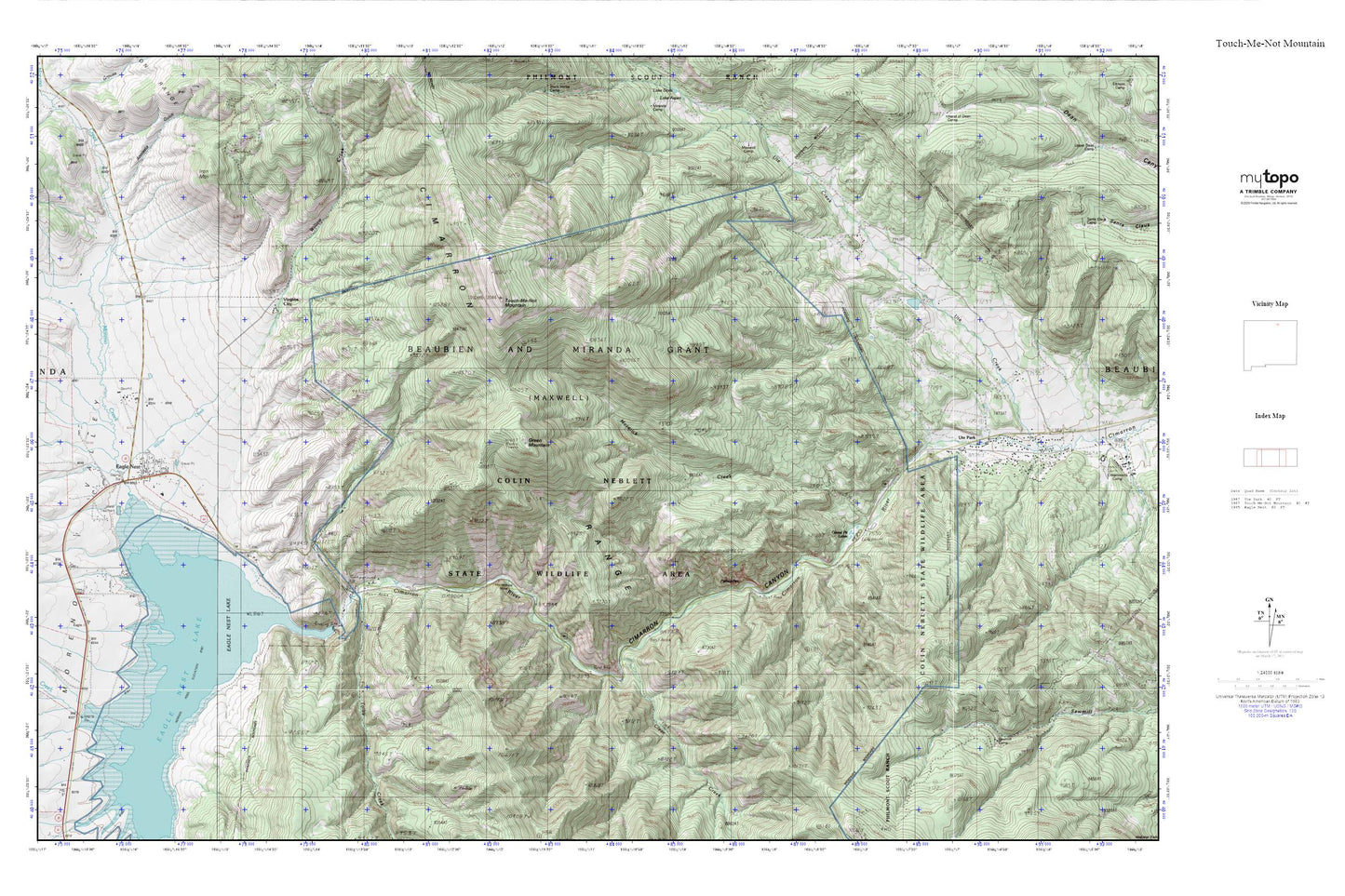
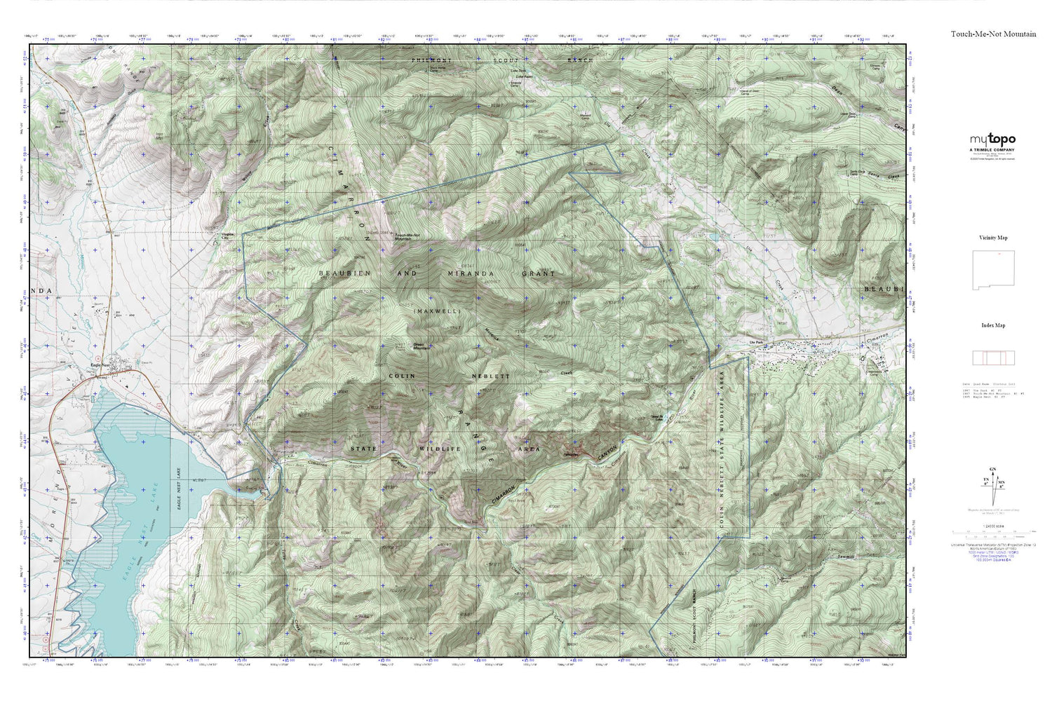
Topographic map of Touch-Me-Not Mountain in the state of New Mexico. From the MyTopo Explorer Series.
This topo map features shaded relief and comes with UTM / MGRS and Latitude/Longitude grids.
For more than two decades, MyTopo has provided maps to the most adventurous among us.. those who love to explore our nation’s remote wilderness areas, climb our highest peaks, and trek across our vast public lands. This map is part of a curated collection of the most popular places for which MyTopo customers have designed maps. It is a “bucket list” of the most amazing places to hike, hunt, and explore.
This map contains the following named places: 87749,Allen,Anniseta Gulch,Atmore Ranch,Cimarron Canyon,Cimarron Canyon Historical Marker,Cimarron Canyon State Park,Cimarron Canyon Wildlife Area,Clear Creek,Clear Creek Store,Colfax Fire Department District 3 Ute Park,Colin Neblett State Wildlife Area,Comanche Creek,D A V Vietnam Veterans National Memorial Historical Marker,Eagle Nest,Eagle Nest Ambulance Service,Eagle Nest Dam,Eagle Nest Elementary,Eagle Nest Fire Department,Eagle Nest Lake,Eagle Nest Landing Strip,Eagle Nest Lodge,Eagle Nest Post Office,Eagle Nest Public Library,Eagle Nest Weather Station,Frolic Creek,Graney Creek,Gravel Pit Lakes,Horseshoe Mine,Iron Mountain,Iron Mountain Prospect,Jackson Cemetery,Maverick Creek,Moreno Creek,Moreno Valley,Moreno Valley Church of Christ,Palisades,Palisades Sill Historical Marker,Pay Mine,Perryville,Perryville Post Office,Saint Mels Catholic Church,Sixmile Creek,The First Baptist Church of Moreno Valley,The Idewild Community Church,Tolby Creek,Touch-Me-Not Mountain,Truth Ministries Church,Ute Creek Reservoir Dam,Ute Park,Ute Park Census Designated Place,Ute Park Post Office,Village of Eagle Nest,Virginia City,Virginia Post Office,Willow Creek


