MyTopo
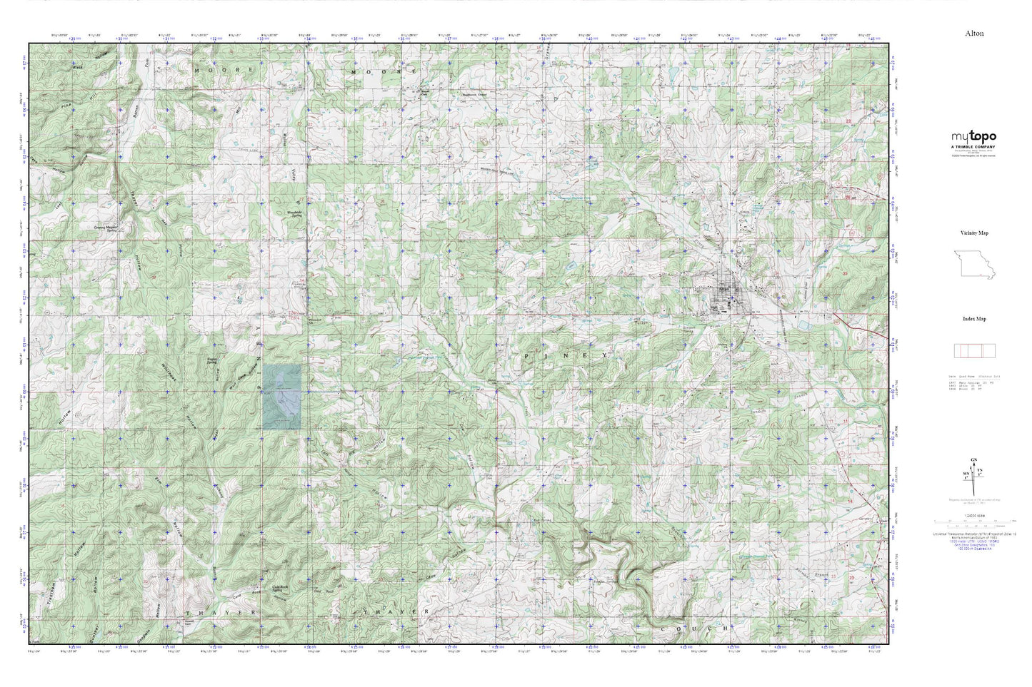
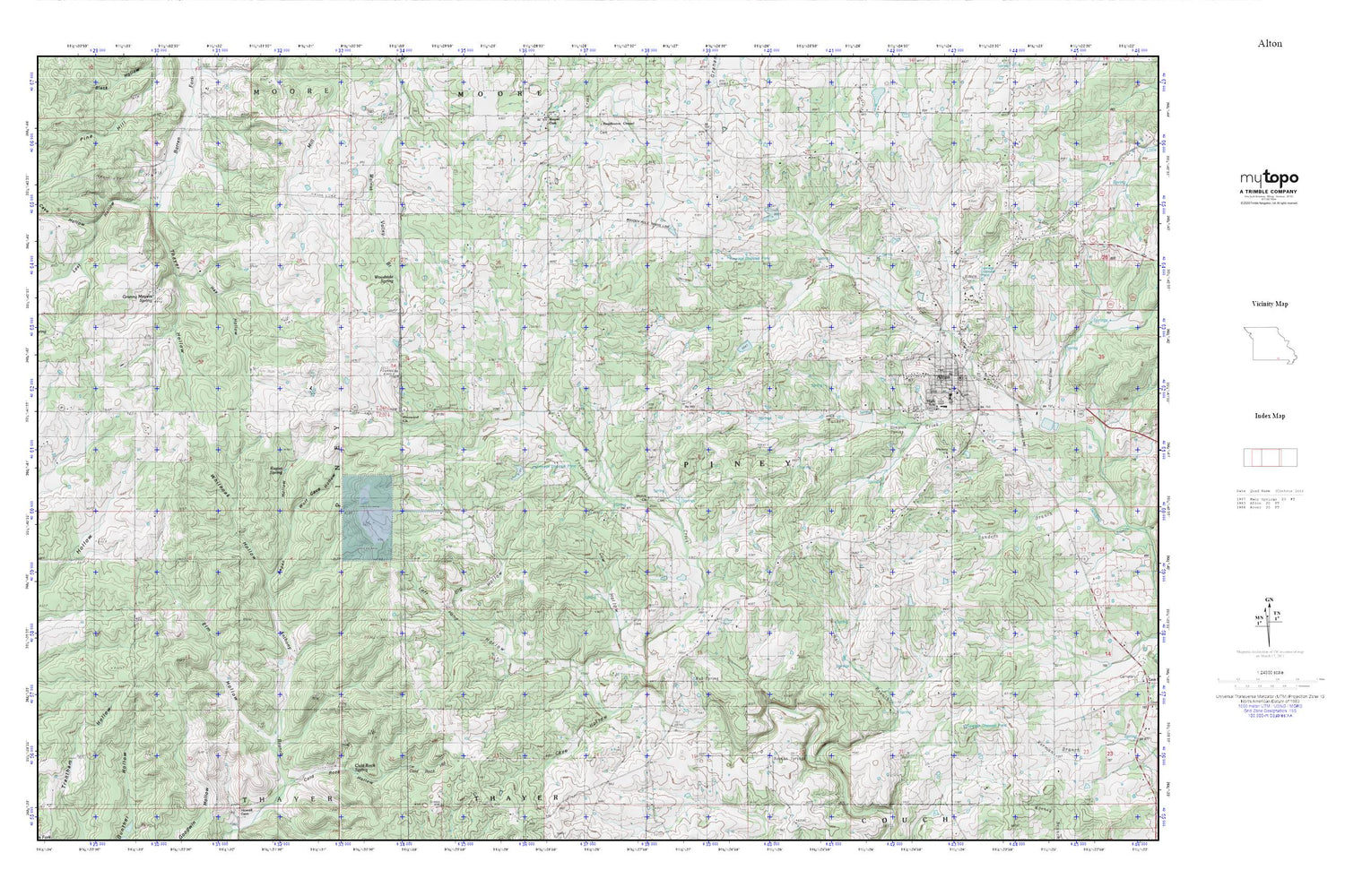
Alton MyTopo Explorer Series Map
Couldn't load pickup availability
Topographic map of Alton in the state of Missouri. From the MyTopo Explorer Series.
This topo map features shaded relief and comes with UTM / MGRS and Latitude/Longitude grids.
For more than two decades, MyTopo has provided maps to the most adventurous among us.. those who love to explore our nation’s remote wilderness areas, climb our highest peaks, and trek across our vast public lands. This map is part of a curated collection of the most popular places for which MyTopo customers have designed maps. It is a “bucket list” of the most amazing places to hike, hunt, and explore.
This map contains the following named places: Alton,Alton Fire Department,Alton High School,Alton Police Department,Bales School,Big Hollow,Cave Hollow,City of Alton,Climax Church,Cold Rock Hollow,Cold Rock Spring,Cow Hollow,Dills Cemetery,Elm Hollow,Fairview School,Granny Meyers Spring,Hall Branch,Hay Hollow,Hix Lake Dam,Huddleston,Left Hand Hollow,Lost Hollow,Missouri Department of Conservation Forestry Ozark Regional Field Fire Office Alton,Mud Spring,Norman Spring,Nuwer Lake,Nuwer Lake Dam,Oregon County,Oregon County Sheriff's Office,Pennwood Church,Pinwood School,Ragan Hollow,Ragan Spring,Shiloh Church,Shiloh School,Simpson Spring,Smith Cemetery,Thayer Hollow,Township of Piney,Victory Church,Watson Spring,Whitooak Hollow,Wolf Cave Hollow,Woodside Spring,Young Lake Dam


