MyTopo
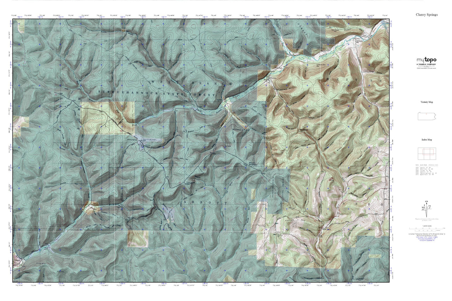
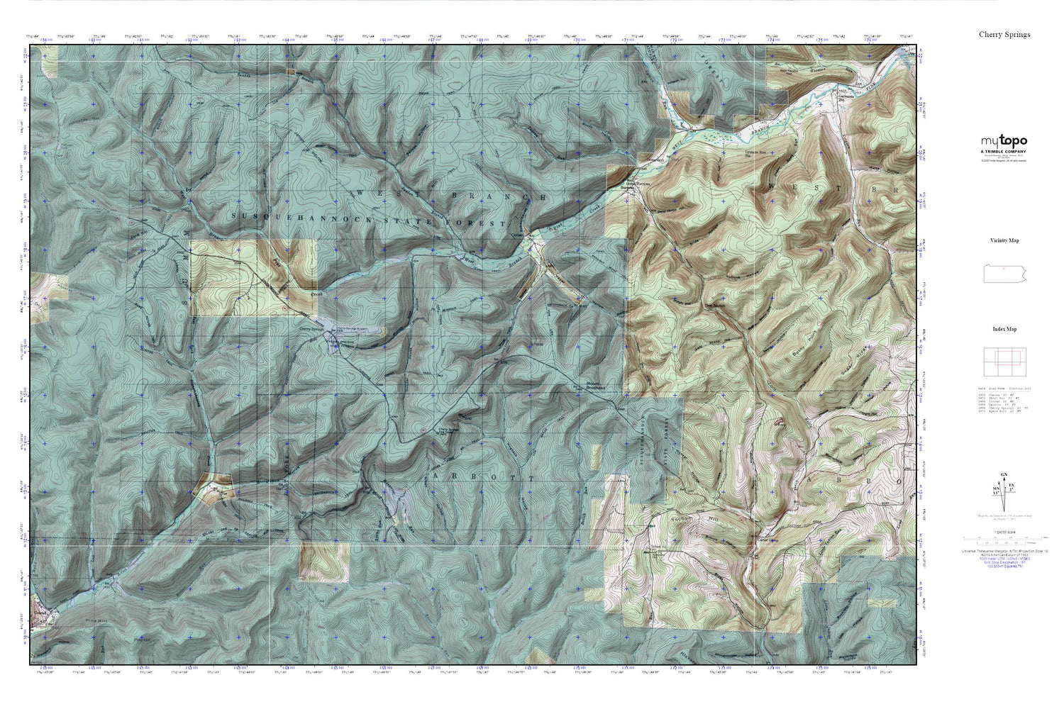
Cherry Springs MyTopo Explorer Series Map
Couldn't load pickup availability
Topographic map of Cherry Springs in the state of Pennsylvania. From the MyTopo Explorer Series.
This topo map features shaded relief and comes with UTM / MGRS and Latitude/Longitude grids.
For more than two decades, MyTopo has provided maps to the most adventurous among us.. those who love to explore our nation’s remote wilderness areas, climb our highest peaks, and trek across our vast public lands. This map is part of a curated collection of the most popular places for which MyTopo customers have designed maps. It is a “bucket list” of the most amazing places to hike, hunt, and explore.
This map contains the following named places: Alabama Trail,Barnes Hollow,Bear Trail,Beech Hollow,Berry Patch Trail,Bloss Hollow,Bohunk Hollow,Burnt Hollow,Burrous Trail,Burrows,Camp Trail,Captain Shelton Trail,Carter Camp,Cherry Springs,Cherry Springs Airport,Cherry Springs Fire Tower,Cherry Springs Scenic Area,Cherry Springs State Park,Cherry Springs Station,Cherry Springs Vista,Chipmunk Trail,Clinton Trail,Combs Trail,Corbett,Cow Hill Trail,Crooks Trail,Cross Fork Brook Trail,Cross Fork Trail,Cross Junction,Cross Trail,Dead Horse Hollow,Deck Lane Trail,Dolliver Trail,Fire Tower Trail,Ford Hollow,Game Refuge Trail,Germania Bridge Trail,Gibbs Trail,Green Hollow,Hockney Hollow,Hogback Hollow,Hopper House Hollow,Horton Run,Horton Run Trail,Indian Run,Ives Hollow,Kuhn Trail,Left Stony Hollow,Lick Ridge Trail,Little Cherry Springs Park,Log Grade Trail,Lower Dry Hollow,Lyman Run,Lymans Run Station,Main Lot Hollow,Maple Trail,Mount Brodhead,New Bergen,Notch Hollow,Notch Trail,Old Cabin Trail,Patterson State Park,Prindle Trail,Railroad Trail,Reese Hollow,Right Stony Hollow,Rock Ridge Trail,Schoolhouse Hollow,Shinglebolt Hollow,Slide Hollow,Splash Dam Trail,Stony Lick Run,Straight Ridge Trail,Sunken Branch,Switchback Trail,The Notch,Tom Fee Trail,Township of Abbott,Township of West Branch,Upper Dry Hollow,Water Tank Hollow,Wenzel Hollow,Wingard Trail,Yochum Hill,Yochum Hill Cemetery,Zeorb Hollow


